Download
1 / 7
90 likes | 113 Views
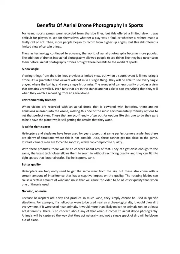
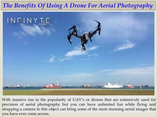
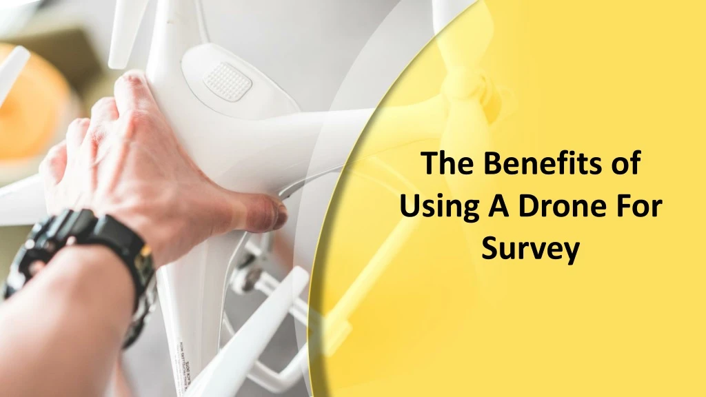
Over the past years, there has been a rise in the popularity of the use of drones. It is great fun to fly them and also they can deliver a stunning aerial video imagery when a camera is attached to them. These drones can be used in different ways.In this doc we are going to discuss the advantages of using drones for a survey.

E N D
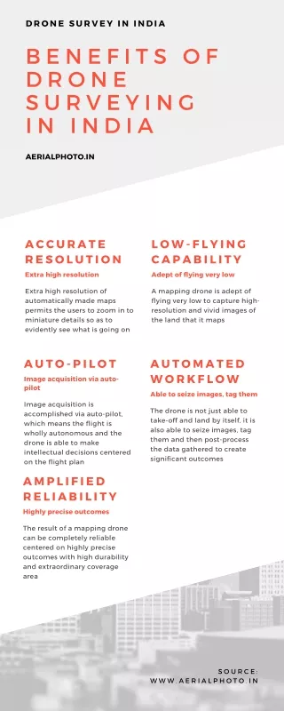
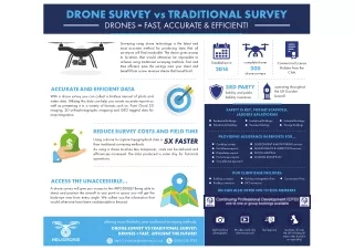
Minimizes The Risk and Danger For aerial videos or to inspect the area which is at a certain height, it can risk the life of workers. By using drones instead of human workers, you can minimize the risk and dangers that can happen with traditional methods. With the help of drones, one can easily access the blocked areas or those that are difficult to reach on foot.
Improves Quality of Images Using a high-quality camera with drones it is possible to get the high-quality images from any angle. Even in any blowy situation we can capture the blur free images or can get them in RAW format images and edit them in post processing.
Efficiency With small size, minimum disruption, low noise and small take-off and landing area drones can work anywhere without notice by anyone. Using drones for the inspection of customer’s property remains unaffected by avoiding ladders.
Survey of Inaccessible Locations A drone can fly where people or vehicles have no access, for example, over swamps, densely forested areas and locations of suspected UXO. Drones make these areas accessible for airborne surveys.
High Data Quality A drone can significantly reduce the time spent collecting accurate data and allow you to gather millions of data points in a single flight. Thus, you can get high quality data in less time. You can also generate 3D models more efficiently.
Contact Us Aerobotika Aerial Intelligence Ltd 301-3007 Glen Drive,Coquitlam, British Columbia, Canada 1-800-579-1828 info@aerobotika.com https://aerobotika.com