Download
1 / 31
310 likes | 804 Views
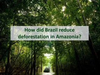
Monitoring Deforestation in Amazonia using Remote Sensing. Luís Fernandes Executive Secretary MCT. Ministério da Ciência e Tecnologia. Monitoring Amazon Deforestation. Near real-time detection of newly deforested areas (DETER) Uses MODIS data (250 m resolution, 2 days revisit)

E N D
Monitoring Deforestation in Amazonia using Remote Sensing Luís Fernandes Executive Secretary MCT Ministério da Ciência e Tecnologia
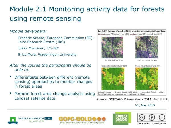
Monitoring Amazon Deforestation • Near real-time detection of newly deforested areas (DETER) • Uses MODIS data (250 m resolution, 2 days revisit) • Maps produced weekly • Supports law-enforcement • Detailed assessment of deforestation (PRODES) • Uses LANDSAT (30 m resolution, 18 days revisit) and CBERS (20 m resolution, 25 days revisit) • Other satellite data is used when needed • Detailed maps produced yearly • Supports policy-making
CBERS: China-Brazil Earth Resources Satellite • Brief History • Initial agreement signed in July 6th, 1988, covering CBERS-1 and 2. • In 2002, both governments decided to expand the initial agreement by including CBERS-3 and 4. • Program objectives • Build a family of remote sensing satellites to support the needs of users in earth resources applications • Improve the industrial capabilities of space technology in Brazil and China
CBERS-2 CBERS-2 Launch (21 October 2003)
Near real-time detection of newly deforested areas • Supports law-enforcement • Information available as soon as possible • Location and period of newly deforested area • Accurate only for areas greater than 100 ha • Fast result dissemination via Web
DETER – Sensors TERRA e AQUA MODIS - Moderate-resolution Imaging Spectroradiometer Temporal resolution: Daily Spatial resolution: 250 m CBERS - China-Brazil Earth Resources Satellite WFI sensor Temporal resolution: 5 days Spatial resolution: 250 m
Landsat 5 image of 22 Aug 2003 without deforestation evidences Large deforestation detected by Deter in 22/jun/2004, in Altamira/PA
MODIS image of 07 May 2004 without deforestation evidences Large deforestation detected by Deter in 22/jun/2004, in Altamira/PA Grande desmatamento detectado pelo Deter em 22/jun/2004, município de Altamira/PA (s 05 08 11.89 o 53 55 15.73)
MODIS image of 08 June 2004 showing first evidences of deforestation Large deforestation detected by Deter in 22/jun/2004, in Altamira/PA
MODIS image of 22 June 2004 showing full extent of deforestation (6000 ha) Large deforestation detected by Deter in 22/jun/2004, in Altamira/PA
Government actions in area: • Offender fined and jailed • Environmental protection area created Large deforestation detected by Deter in 22/jun/2004, in Altamira/PA
Detailed assessment of deforestation (PRODES) • Estimates yearly rates of gross deforestation • Estimates the extension of gross deforestation • Produces a digital data base • Maps available on the Internet • www.obt.inpe.br/prodes
Detailed assessment of deforestation (PRODES) • Computer aided image interpretation • Improvements in 2005 • Use of multisatellite data • Results available in the same calendar year • Technology developed by INPE • Open source software
Deforestation Map INPE/PRODES 2003/2004: Deforestation Forest Non-forest Clouds/no data
New frontiers INPE/PRODES 2003/2004: Deforestation Consolidated areas still under high deforestation pressure. Forest Non-forest Clouds/no data Deforestation Map: Key Areas
General Concepts: Increment and Rate • Deforestation Increment • Calculated for each image scene • Sensitive to date of image acquisition • Deforestation Rate • Estimated on a image basis • Areas under cloud cover have deforested area estimated from regional trends • Rates are normalized to a reference date: 1 August
Impact of cloud cover To reduce the impact of cloud cover, INPE combines images from different dates
Combination CBERS-LANDSAT 116-112 116-113 166-112