Download
1 / 9
90 likes | 274 Views
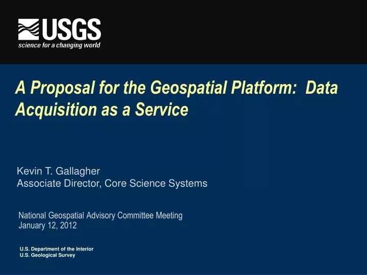
A Proposal for the Geospatial Platform: Data Acquisition as a Service. National Geospatial Advisory Committee Meeting January 12, 2012. Kevin T. Gallagher Associate Director, Core Science Systems. Background – Position on the Geospatial Platform.

E N D
A Proposal for the Geospatial Platform: Data Acquisition as a Service National Geospatial Advisory Committee Meeting January 12, 2012 Kevin T. Gallagher Associate Director, Core Science Systems
Background – Position on the Geospatial Platform • The Federal Geospatial Platform offers the USGS the potential to: • Extend the reach of the National Map, both in terms of delivering and acquiring geospatial data. • Enhance user access to USGS applications. • Reduce overhead/infrastructure expenses. • The Platform could be strengthened if “Data Acquisition as a Service” was added as an offering.
Data Acquisition as a Service • Along with data, applications, and infrastructure, many in the community could benefit from access to data acquisition services provided as a part of the overall Platform offering • Not all geospatial community members have either the ability or the resources to contract for data acquisition services, and others, who do, might be able to gain efficiencies by considering the use of the Platform’s acquisition offering • Our proposal is to start by focusing on a single theme of data: elevation, for example • Gauge interest and evaluate savings and efficiencies, and then consider broader offerings
DAaaS In Context • te The concept of Data Acquisition as a Service (DAaaS) fits well in the “Data as a Service” Offering
An Existing Vehicle: Geospatial Products and Services Contract • GPSC 2 – negotiated and in place - FY 10 • 7 prime contractors • Aerometric, Inc; Dewberry & Davis, LLC; Photoscience; Northrop Grumman Info Systems; Woolpert, Inc.; Fugro Earthdata, Inc.; Digital Aerial Solutions, LLC • $250,000,000 delegated procurement authority over 5 years • FY11 Activity • 35 tasks awarded • Tasks included: 15 ortho, 14 lidar, 1 IFSAR, & 5 other lidar-related tasks • Partners included: NGA, other USGS, BLM, FEMA, BIA, NRCS, USCOE (multiple regions), NPS (multiple regions), Delaware NTI, Rhode Island DOT, various Florida Water Management Districts, Arkansas National Guard, City of Nashville & Davidson County, TN, various Colorado state agencies
What We Offer • Services provided by USGS in conjunction with the GPSC contract • Coordination of requirements and development of agreements among partners • Provision of subject matter expertise in translating program and partner requirements into task orders • Negotiating, awarding, and managing contracts and tasks • Inspection and quality assurance of deliverables* • Delivery of data to partners as specified in agreement *note that the level of involvement in QA by the partner and by USGS staff varies depending on the task order
Some Potential Benefits • Enables rapid data acquisition to respond to natural hazards and other urgent issues • Achieves economies of scale • Brings USGS expertise with contracting and QA to community at large • Assures that standards and quality are built into acquisitions • Brings additional value to the Geospatial Platform offering