Download
1 / 8
80 likes | 214 Views
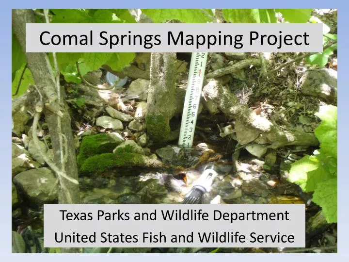
Comal Springs Mapping Project. Texas Parks and Wildlife Department United States Fish and Wildlife Service. Why map Comal Springs?. Identify precise locations of GW inputs Provides basis for future comparison at varying flows Provides basis for systematic sampling of springs for inverts

E N D
Comal Springs Mapping Project Texas Parks and Wildlife Department United States Fish and Wildlife Service
Why map Comal Springs? • Identify precise locations of GW inputs • Provides basis for future comparison at varying flows • Provides basis for systematic sampling of springs for inverts • Provide info on habitat associations
Comal Springs Mapping Project Goal – to map, describe, and document the various spring outlets that comprise Comal Springs • Objectives • Gather geospatial data with submeter accuracy • Gather elevation, WQ, flow, and photos • Describe physical habitat of each spring • Compile data into a geodatabase • Disseminate info to interested parties
Results • 425 Springs mapped • 333 point springs • 92 groups of springs • Landa Lake – 176 (42%) • W. Shore – 142 (32%) • SR 1 – 21 (5%) • SR 2 – 14 (3%) • SR 3 – 57 (13%) • SR 4-6, OC, SFP – 1-5 (≤ 1%)
Results • Spring types • 165 (39%) alluvial, 195 (46%) upwelling, 40 (9%) single orifice • 17 veg types associated with spring openings • Associated with 132 (31%) of springs • Anacua (27%), Elephant Ear (23%), and Ligustrum (19%) most common • Total discharge ranged from 244 to 224 cfs • Historical average (1934-2011) is 290 cfs
Results 19.2 cfs 99.4 cfs SR3 – 31.3 cfs SR 1 - 20cfs SR2 – 4.6 cfs
Discussion • Map provides basis for future work • Future mapping efforts at varying flows • Reveal changes in spring habitats and system as a whole • Targets (cfs) – 290, 196, 150, 120, 100, 90-30 at 10 cfs increments • Sampling of CSRB and other rare inverts in Comal Springs system • Systematic sampling of springs to define distribution of organisms in system • Provide information on habitat associations • Estimating surface population size