Download
1 / 14
140 likes | 328 Views
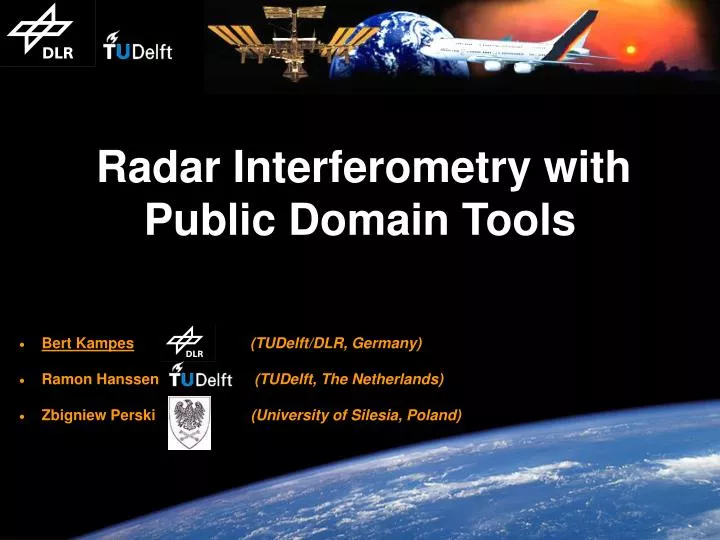
Title. Radar Interferometry with Public Domain Tools. Bert Kampes (TUDelft/DLR, Germany) Ramon Hanssen (TUDelft, The Netherlands) Zbigniew Perski (University of Silesia, Poland). Introduction. "Radar Interferometry is a tool."

E N D
Title Radar Interferometry withPublic Domain Tools • Bert Kampes(TUDelft/DLR, Germany) • Ramon Hanssen (TUDelft, The Netherlands) • Zbigniew Perski (University of Silesia, Poland)
Introduction • "Radar Interferometry is a tool." • Public domain software is important to stimulate fast and free dissemination of ideas. • Limited effort and low costs benefits the science community. • We show how users can take advantage of readily available public domain software by an example processing with ENVISAT ASAR data. • Handling the data in the distributed format. • Interferometric processing (unwrapping, geo-referencing). • Coordinate conversion and data gridding. • Visualization of computed DEM. • GIS analysis. • We note drawbacks and missing elements of the software in the hope that these items will be (developed and) made available to the scientific community. • (Public domain software in this presentation are marked red the first time they are referenced.)
Processed ENVISAT data: • Las Vegas Area; • Topography: 0 3500 m; • Effective baseline: 100 m; • Master: 03 Jan. 2003; • Slave: 29 Nov. 2002; • Doppler difference 50 Hz; SRTM C-band DEM of Las Vegas Area Data Overview • Doris (Delft University) is used for the interferometric processing. • International user community (>70 registered users). • User manual; email list (FAQ). • Runs on all platforms (GNU GCC compiler). • Uses public domain software for common tasks (FFTW, LAPACK). • Quicklook images of intermediate products. • Convenient interface for running. • Modular setup allows for easy addition of new algorithms (C++).
Las Vegas Reading the ENVISAT Format • The ENVISAT data distribution format differs from the CEOS format used for the ERS satellites. • The ESA has made a C software library available to the public domain to handle the distributed data (BEAM Toolbox). • The Doris software includes utilities for the extraction of information and data from the distributed format using this library. These utilities are automatically called by Doris 100 km 100 km • The visualization of the magnitude is done with a utility also provided with Doris (cpxfiddle). EnviSAT ASAR data (SLC full scene, beam 2)
Co-registration • Alignment of slave on master • Precise orbits. • Coarse correlation. • FINE (many small patches). • Shown are FINE offset vectors. • A 2D polynomial is least-squares estimated to model the transformation. • This plot is created by Doris, using GMT. • The co-registration is automated, using outlier detection. • Manual intervention in the polynomial fitting is easy for optimal control using error plots (GMT). Transformation slave to master geometry
Interferogram Generation • This was the first interferogram computed with Doris from ASAR ENVISAT data. • Multi-looking factors: 1x5. • Ellipsoid reference phase corrected and again multi-looked with factors 4x4. Resolution ~80 x 80 m2. • Annotated orbits seem very accurate for ENVISAT. • Height of ambiguity: 80 m • Resampling can be performed with a number of kernels, e.g., NN, linear, 6 point cubic convolution, 16 point truncated sinc. Phase of complex interferogram
Doris' Capabilities • Magnitude/phase display; These plots are SUNraster format and automaticallygenerated by Doris. • Doris can also: • Coherence image. • Differential interferometry (3 and 4 pass, external DEM). • Geo-referencing. • Phase filtering using arbitrary kernels in spatial or spectral domain, or Goldstein's method. • Spectral filtering (azimuth and range). Magnitude/Phase display
Phase Unwrapping • SNAPHU (Stanford University) is used to unwrap the interferometric phase. • "Statistical-Cost, Network-Flow Algorithm for Phase Unwrapping": a sophisticated MCF algorithm using expected smoothness of unwrapped data. • Can use interferometric amplitude or coherence for improved cost computation. • SNAPHU is run automatically by Doris, without user intervention, but can be run (again) standalone. • (7 minutes,1297x1310 pixels) EnviSAT ASAR data (SLC full scene, beam 2)
azimuth range longitude latitude height range azimuth • PROJ.4 (USGS) was used to convert the WGS84 coordinates to UTM. • PROJ.4: "Cartographic Projections library'' that can perform forward and inverse transformation of cartographic data to or from Cartesian data with a wide range of selectable projection functions, including datum translations (e.g., WGS84 to UTM, Gauss-Krueger, etc.). • Utilities and example scripts are included in the Doris distribution. PROJ.4 UTM GMT GIS Coordinate Transformations • After the phase unwrapping, the height is estimated with respect to the reference ellipsoid (save a bias, 1 GCP required). • Then, the radar coordinates {range, azimuth} are geo-referenced {latitude, longitude} using the estimated heights. • This yields 3 matrices with for each pixel a latitude/longitude/height triplet (irregularly sampled data). WGS ascii
The Generic Mapping Tools • The Generic Mapping Tools (GMT, Soest University) can be used to grid the data (surface tension spline). • The GMT handle {x,y,z} data as UNIX filters, making them extremely flexible. • Each program performs a specific task, e.g., creating a vector plot, or data gridding. • The output of each program is a processed data file or postscript code. • Extremely well documented and large and lively user community. DEM interpolation and visualization with GMT
GRASS FREE GIS • GRASS (open source) is a free GIS which can be used for analysis of data from different sources and stored in different formats, and for data visualization. • "Geographic Resources Analysis Support System" • Shown is a watershed analysis using the computed DEM. • Data can be imported in GRASS via the netcdf format used with GMT. Graphical User Interface of the GRASS free GIS software
input handling Doris(Delft) Precise orbits • Delft orbits (ERS) SLC data • BEAM Toolbox (ESA) coregistration • GMT (Soest) interferogram generation • optionally differential interferogram: • SRTM C-band DEM, GTOPO30(USGS) • SNAPHU (Stanford) phase unwrapping datum transformation PROJ.4 (USGS) GMT (Soest) gridding & visualization GRASS (open source) GIS analysis Summary
Conclusion • We have demonstrated the capability of public domain software to handle ENVISAT data: • Interferometric processing was performed on a 900 MHz laptop, 100 MB of RAM available (OS: Cygwin under MS windows XP). • Interferometric processing time was 1 hour (full-scene DEM). • GRASS GIS analysis was performed on a 3 GHz Linux PC. • Sollicited functionality: • Interactive visualization tool for Radar data (click and analyze). • Time series functionality. • Extention/experience of the tools to handle other ENVISAT products (ScanSAR, alternating polarization, MERIS, etc.) • ENVISAT precise orbits distribution as for ERS (Delft?) • Utilities/algorithms using SRTM C-band DEM need to be investigated (fast radarcoding, coherence estimation, co-registration, etc.) • Algorithms for orbit improvement (cq. trend removal). • ?