Download
1 / 7
70 likes | 191 Views
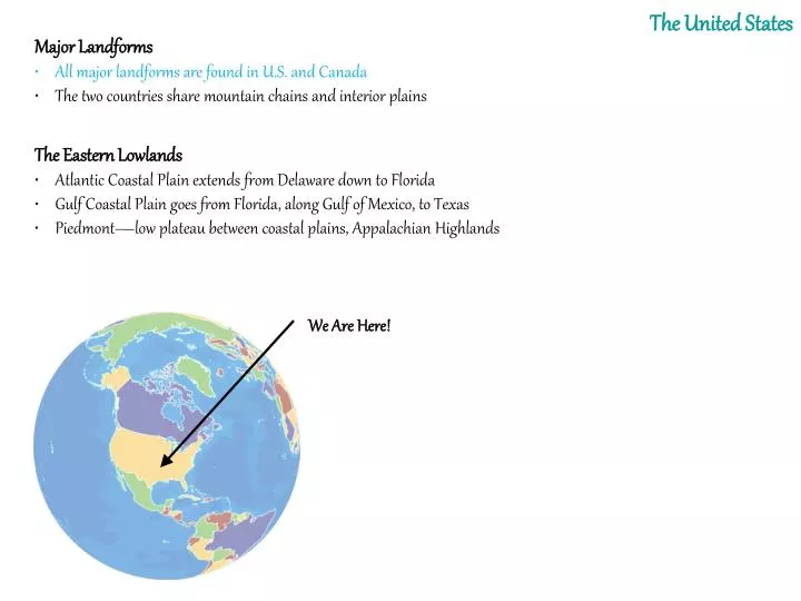
The United States. Major Landforms • All major landforms are found in U.S. and Canada • The two countries share mountain chains and interior plains . The Eastern Lowlands • Atlantic Coastal Plain extends from Delaware down to Florida

E N D
The United States Major Landforms • All major landforms are found in U.S. and Canada • The two countries share mountain chains and interior plains The Eastern Lowlands • Atlantic Coastal Plain extends from Delaware down to Florida • Gulf Coastal Plain goes from Florida, along Gulf of Mexico, to Texas • Piedmont—low plateau between coastal plains, Appalachian Highlands We Are Here!
The Two Mountain RangesWhat’s Different? Appalachian Mts. Rocky Mts.
The Appalachian Highlands • Appalachian Mountains run 1,600 miles from Newfoundland to Alabama - include Green and Catskill mountains in the north - Blue Ridge and Great Smoky mountains in the south • More than 400 million years old • Erosion has created gentle slopes, peaks from 1,200–2,400 feet • The Appalachian Trail is a scenic hiking path along the chain The Interior Lowlands • Glaciers leveled the land, left fertile soil • Interior Plains extend from Appalachians to Missouri River • Great Plains extend from Missouri River to Rocky Mountains The Western Mountains, Plateaus, and Basins • Rocky Mountains run 3,000 miles from Alaska to New Mexico • Relatively young: 80 million years old • Less erosion means rugged, 12,000-foot, snow-covered peaks •Continental Divide—the line of highest points along the Rockies - separates rivers that flow eastward from those that flow westward
The Western Mountains, Plateaus, and Basins • Other Pacific mountain ranges: Sierra Nevada, Cascade • Continent’s highest peak: Mt. McKinley in Alaska • Major earthquake activity in Pacific ranges • Between ranges and Rockies: cliffs, canyons, basins (low desert) The Islands • U.S.: Aleutians (Alaska), Hawaiian (politically, not geographically) Oceans and Waterways • Great Lakes: Huron, Ontario, Michigan, Erie, and Superior • Mississippi-Missouri-Ohio river system: continent’s longest, busiest • Land and Forests • Fertile soil helps make North America world’s leading food exporter • Large forests yield lumber and other products
Climate and Vegetation • Almost every type of climate is found in the 50 United States because they extend over such a large area north to south. Colder Climates • Arctic coast is tundra: huge, treeless plain with long, cold winters - some permafrost—permanently frozen ground • Rockies and Pacific ranges are highland: colder, sparse vegetation - affect weather in lower areas: block Arctic air, trap Pacific moisture Moderate Climates • North central, northeast U.S, are humid continental - cold winters; warm summers; heavy agriculture •Pacific coast has marine west coast climate - warm summers; long, mild, rainy winters; mixed vegetation - climate affected by ocean currents, coastal mountains,westerlies - prevailing westerlies—middle-latitude winds blowing west to east
Milder Climates • Much of U.S. located south of 40 degrees N latitude - milder, dry, and tropical climates • Southern states are humid subtropical - hot summers; mild winters; long growing season for variety of crops • Central, southern California coasts have Mediterranean climate - dry, warm summers; mild, rainy winters; fruits, vegetables grow well Dry Climates • Great Plains, northern Great Basin semiarid: dry with short grasses • Southwest is hot, dry desert, including Mojave and Sonoran deserts Tropical Climates • Hawaii is tropical wet: rain forests, temps around 70 degrees F - Mount Waialeale on Kauai Island is one of the wettest spots on earth 462 inches on average per year, • South Florida is tropical wet and dry: warm with tall grasses - Everglades—swampland covering 4,000 square miles