Download
1 / 15
150 likes | 508 Views
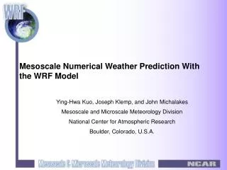
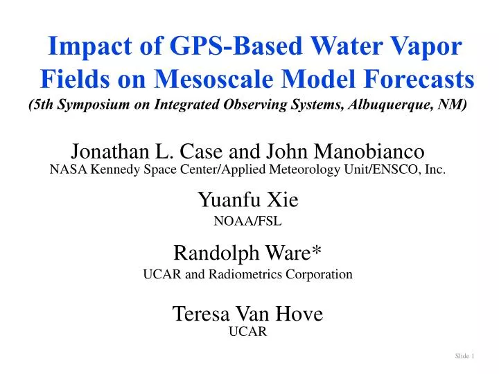
Impact of GPS-Based Water Vapor Fields on Mesoscale Model Forecasts (5th Symposium on Integrated Observing Systems, Albuquerque, NM) Jonathan L. Case and John Manobianco NASA Kennedy Space Center/Applied Meteorology Unit/ENSCO, Inc. Yuanfu Xie NOAA/FSL Randolph Ware*

E N D
Impact of GPS-Based Water Vapor Fields on Mesoscale Model Forecasts (5th Symposium on Integrated Observing Systems, Albuquerque, NM) Jonathan L. Case and John Manobianco NASA Kennedy Space Center/Applied Meteorology Unit/ENSCO, Inc. Yuanfu Xie NOAA/FSL Randolph Ware* UCAR and Radiometrics Corporation Teresa Van Hove UCAR
Presentation outline • 3D water vapor analysis with GPS • GPS slant delays, simulated network • 3DVAR assumptions, results • Microwave profiler example • Experiment design • Simulated slant GPS network • ARPS/ADAS assimilation • Mesonet demonstration • Summary
3D water vapor analysis with GPS • GPS signals experience atmospheric delay • Dry atmospheric delay (temperature and pressure) • Wet atmospheric delay (water vapor) • Slant path measurements • Delays for ~8 satellites in view • Provides strong horizontal constraint • Humidity soundings • Needed for unique solution • Can be provided by microwave profilers
GPS slant delays Provide strong constraints on atmospheric temperature and humidity Low angle measurements simultaneously constrain many model cells
Simulated slant GPSnetwork • resolution • 40 km horizontal • 500 m vertical • domain • Rockies and high plains • surface to 8 km
3DVAR assumptions 40-km GPS grid (~1300 sites) slant delays down to 1 degree elevation with 7% error 360-km microwave profiler grid (16 sites) with 8% error surface humidity measurements at GPS sites with 5% error
Humidity fields at 750 m height. Size and location of the major convective features are similar. Humidity soundings are compared at dry (+) and moist (*) locations [MacDonald et al., Mon. Wea. Rev. (in press) 2001].
Comparison of dry (left) and moist (right) ground-truth and 3DVAR humidity soundings [MacDonald et al., Mon. Wea. Rev. (in press) 2001].
Example microwave profiler sounding Microwave profiler observations near Lamont OK by DOE of a dry line passage (around noon on 16 July)
Experiment design • Purpose • Assimilate GPS slant delay data into mesoscale model • Evaluate impact on forecast • Part I • Analyze high resolution humidity field using 3DVAR and simulated GPS slant and tropospheric profile data • Evaluate impact of these data on forecasts using the Advanced Regional Prediction System (ARPS) • Initialize model using ARPS Data Analysis System (ADAS) • Part II • Repeat experiment using real GPS and tropospheric profile data • Evaluate impact of real GPS slant data on forecast
Simulated network Real network ARPS/ADASassimilation • resolution • 10 km horizontal • 412.5 m vertical (average) • Stretched vertical coordinate • domain • Rockies and plains • surface to 16.5 km
Slant GPStest bed slant GPS (22) wind radars (7) microwaveprofiler (1) water vapor radiometers (5)
Mesonet demonstration If forecast impact is large, regional mesonets could be instrumented
Summary • Simulations show that GPS slant data can be used for high resolution humidity analysis • We plan to assimilate simulated and real data to determine the impact on mesoscale forecasts • If the impact is significant, regional mesonets could be instrumented for demonstration experiments
Points of contact • Jon Case case.jonathan@ensco.com 321 853-8264 • John Manobiancomanobianco.john@ensco.com 321 853-8202 • Yuanfu Xiexiey@fsl.noaa.gov 303 497-6846 • Randolph Wareware@ucar.edu 303 497-8005 • Teresa Van Hovevanhove@ucar.edu 303 497-8023