Download
1 / 38
380 likes | 528 Views
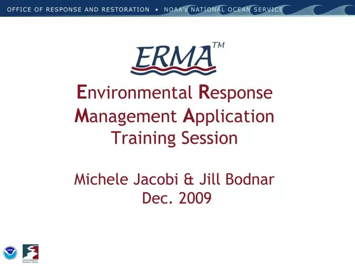
E nvironmental R esponse M anagement A pplication Training Session Michele Jacobi & Jill Bodnar Dec. 2009. Class Outline. Overview/ background on ERMA Review data found in ERMA Show a few examples of ERMA capabilities Try an example scenario

E N D
Environmental Response Management ApplicationTraining SessionMichele Jacobi & Jill Bodnar Dec. 2009
Class Outline • Overview/ background on ERMA • Review data found in ERMA • Show a few examples of ERMA capabilities • Try an example scenario • Discuss next steps in development and user needs
ERMA Background • ERMA was developed as a joint project from the Coastal Response Research Center and NOAA’s Office of Response and Restoration • Caribbean ERMA was funded through EPA region 2
Continuum of “Response” for the OR&R Emergency Response Division (ERD) Restoration - Recovery (Years to Decades) Response (24 hours) Assessment and Restoration Division (ARD)
A Picture is Worth a Thousand Words… • Diverse datasets can be interlaced on a single map to better visualize a the complex nature of an area
Concept for ERMA Open Source, Web-based mapping tools Planning & Analysis Integrate & Analyze Information Improved Communication & Coordination
ERMA Functional Requirements • Easily accessible • Field, Command Post, External Offices • Quick to display • Complementary to Digital ACP project, and other systems; integrates ‘one-plan’ concept • User friendly interface • For the non-GIS experts • Secure, multi-tailored password protection • Public interface • Responder interface • Super-user interface
ERMA Capabilities • Various data types • Static – Existing agency data lives on ERMA • Real-time – Streams into ERMA from external servers (WMS, WFS) • Data upload & download • Easy to share most up-to-date data via single interface • Tools • On the fly map labeling • On the fly regions of interests • On the fly layers management
Output to User Download/Upload Source ERMA Architecture Feature Server Open Layers Web Mapping Service (Feature) • Other GIS Data • AIS • NowCoast • ENCs • Real Time Obs Secure Server Authentication Encryption (128kb) Data Layer Management Access Privileges MapServer PostGres/ PostGIS Data Base • Public datasets • ESI • Landuse • Bathymetry • Regional Monitoring • Habitat Classifications • Sensitive datasets • Incident data • ACPs • SCAT Results • Trajectories • Etc….
Caribbean Collaboration Partners For ERMA • NOAA • NOS- OCS, NCCOS, CSC, ORR • NWS • NESDIS • NMFS • U.S. EPA Region 2 • USCG- District 7, Sector San Juan • U.S. Fish and Wildlife Service • National Parks Service • FL Fish and Wildlife Research Institute • Puerto Rico • Department Natural Resources • Environmental Quality Board • Department of Planning • Virgin Islands Department Natural Resources • University Virgin Islands • British Virgin Island National GIS Coordinator • Port Authority Isla Grande • National Response Corporation • Coral Bay Community Council • The Nature Conservancy
Secure access Username/Password Various levels of access (Public, Responder, NRDA) Background Layers Aerial, terrain, roads Nautical charts Incident information Trajectories Field teams SCAT data Site Basics • Real-time feed • Weather, buoys, ship tracking, etc. • Resources at Risk • NOAA ESI data layers • Local habitat and species datasets • Document & photo links • ESI and GRPs PDFs • Field Photos • External links
Data Layer Management Access privileges Legend creation Metadata Timeseries Upload/Download capacity Shapefiles PDFs Photos (Photologger) Area of Interest On-the-fly points, lines, and polygons Map Labels Data Management and UserTools • Measurement Tools • Length • Area • Zoom To • Lat/Long • Place name • Bookmark • Saves layers and location • Print • Timestamp • Various page sizes
Practical Implementation of ERMA • Assist with spill preparedness • Display jurisdictional boundaries, specially regulated areas, areas of socio-economic importance • Access points for cleanup • Staging areas and command centers • Regional documentation, points of contact, etc.
Practical Implementation of ERMA • Assist in coordinating response efforts • Visualize magnitude and extent • Triage sites for action • Track progress of clean-up • Access real-time data • Upload data from the field and access forms • Increase communication
Practical Implementation of ERMA • Define the extent of potential impacts • General habitat and land use information • Areas of biological significance - haul outs, rookeries, nesting grounds, essential or critical habitat • Species-specific data - biological resources in the region - threatened or endangered? • Where is there current monitoring data
Practical Implementation of ERMA • Assist in Recovery and Restoration • Access existing environmental monitoring sites • Assist with sampling design • Inventory restoration projects • Locate long-term monitoring sites • Coordinate with regional projects
NOAA Trajectory: 48 Hours Trajectories can be updated over time and displayed with additional datasets like ESI
Spatial Data Layers • GRPs- (historic versions digitized and currently being updated) • Environmental Sensitivity Index (PR and VI) • Marine Protected Areas • Socio-economic features • Habitat Classifications • Regional specific data (ESA coral, contaminant monitoring, ???) • Imagery • Navigation Charts (Raster/ Electronic) • Weather Observations and Buoy Data
Next Steps for ERMA? • Caribbean ERMA • Enhance tools and print functions • Stand alone version for static data • Acquire more datasets???? • SONS exercise support in New England • Puget Sound ERMA
For More Info Michele.Jacobi@noaa.gov Jill.Bodnar@noaa.gov https://caribbean.erma.unh.edu/