Download
1 / 25
250 likes | 428 Views
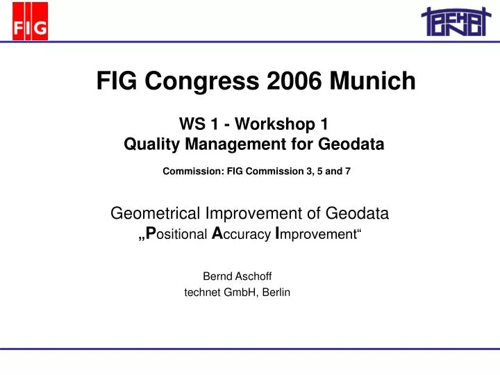
WS 1 - Workshop 1 Quality Management for Geodata. FIG Congress 2006 Munich. Commission: FIG Commission 3, 5 and 7. Bernd Aschoff technet GmbH, Berlin. Geometrical Improvement of Geodata „ P ositional A ccuracy I mprovement“. Short introduction to technet Geometrical deficiencies

E N D
WS 1 - Workshop 1 Quality Management for Geodata FIG Congress 2006 Munich Commission: FIG Commission 3, 5 and 7 Bernd Aschoff technet GmbH, Berlin Geometrical Improvement of Geodata „Positional Accuracy Improvement“
Short introduction to technet • Geometrical deficiencies • Geometrical updating Topic Overview www.technet-gmbh.com Geometrical Improvement of Geodata
Introduction technet GmbH gründig + partner since 1989 • Ingineering company: Software development Project consulting • Scopes: Engineering surveying (railways) Cadastral surveying Civil engineering (leightweight structures) Photogrammetry (close range) Berlin + Stuttgart Central Reference:Adjustment for geometrical optimizations www.technet-gmbh.com Geometrical Improvement of Geodata
Introduction Adjusting adaptation of track elements (Actually the changeover to the UTM/ETRS89 reference frame) Engineering Surveying Rail-Software Net adjustment and track optimizationfor planning and support of the German Rails (Deutsche Bahn AG) www.technet-gmbh.com Geometrical Improvement of Geodata
Introduction Lightweight Structures Idea for large scaled geometrical geodata improvement Formfinding, statical analysis, cutting pattern generationand volume adjustment for tent roofs Proximity fitting of graphical geodata following the Membrane Method Allianz Arena Munich Hadj pilgrims accomodation „tent city“ inMina Valley (Mekka, Saudi Arabia) www.technet-gmbh.com Geometrical Improvement of Geodata
Introduction Geodata source examples Cadastral field books Orthophotos Vectorized Cadastre maps Geodetic measurements Utility geodata with constraints Stressles coordinatesIntegrative analysis information Adjustment delivers: www.technet-gmbh.com Geometrical Improvement of Geodata
Introduction Iteration process • A well known adjustment model.. • X = ([AtPA]-1 At P) L • with A = f (X) • Non-linear equations (in general) • X0 ... Approximations for unknowns neccesary • A1 = f (X0) • X1 = ([A1tPA1]-1 A1tP ) L • A2 = f (X1) • X2= ([A2tPA2]-1 A2tP ) L • .... www.technet-gmbh.com Geometrical Improvement of Geodata
Introduction = ? Statistical Analysis „Data-Snooping“ parameter of the adjustment: Normalized redidual NV „apples and pears are comparable“ with vi.... residual of the observation mvi .... standard deviation of the residual www.technet-gmbh.com Geometrical Improvement of Geodata
Introduction Project example 1: „Graphical“ coordinates with high input accuracy Interconnected transformation and proximity fitting Project extension up to 250.000 points Proximity fitting Landesbetrieb für Geoinformation und Vermessung Hamburg Transformation of existing Gauß-Krüger- und Soldner systems into the UTM / ETRS89 system www.technet-gmbh.com Geometrical Improvement of Geodata
Introduction Project example 2: Geometrical quality improvement of the German Automated real estate map (ALK) Digital map database Integration of geometrical constraints and measurements Point database Residuals Integration of the point database and the digital map database (ALK in lower saxony) www.technet-gmbh.com Geometrical Improvement of Geodata
Geometrical deficiencies Deficiency example 1: Differences between cadastre map and orthophoto Map and orthophoto do not fit together www.technet-gmbh.com Geometrical Improvement of Geodata
Geometrical deficiencies Deficiency example 2: Differences between point list and field book evidence Field book numbers were (and are mostly still) not used consequently for coordinates calculation www.technet-gmbh.com Geometrical Improvement of Geodata
Geometrical deficiencies Deficiency example 3: Differences in the German ALK: point database and graphical database Points have different input accuracies www.technet-gmbh.com Geometrical Improvement of Geodata
Geometrical deficiencies • First of all... • Topological disordance • Identical points between datasets - cannot be detected - are wrongly connected www.technet-gmbh.com Geometrical Improvement of Geodata
Geometrical deficiencies Observation type „Point Identity“ • can be directly modeled • can be modeled stochastically • is very suitable for automation The role of point topology Point connection types: Point identity Same point number (point ID) www.technet-gmbh.com Geometrical Improvement of Geodata
Geometrical deficiencies • Type differences • Archived and actual terrestrial measurements are relative observations which highly consider neighbourhood relations but follow global error propagation - cadastral measurements as well as - old point reference net measurements • GPS observations are (compared to the above) absolute measurements • Accuracy differences • Measurements have relevant accuracy differences - Map measures up to several meters - Geodetic measures from some millimeters up to several decimeters www.technet-gmbh.com Geometrical Improvement of Geodata
Geometrical deficiencies • What is to be done? • Alternative 1 • Throw away all relative measures • Only accept GPS measures • Transform graphical geodata exclusively on the base of GPS measured or other old points • Is this possible as the cadastral evidence is legally binding? • Alternative 2 • Integrate legally binding measures with GPS measures • Connect graphical data with the integrated and improved point coordinates www.technet-gmbh.com Geometrical Improvement of Geodata
Geometrical updating $ Software engineer Surveyor Relative geometry Absolute geometry Adjustment Measurements redundant (equivocal) uncorrelatd Coordinates unique correlated ? Coordinates view Two different expert views to geodata Primary data Primary data Software engineer Surveyor www.technet-gmbh.com Geometrical Improvement of Geodata
Geometrical updating Cadastre data - 14.36 - - 20.08 - 12.14 10.95 16.72 4.76 7.88 35.22 28.37 21.46 17.12 Artificial and existing observations Artificial: Point identities Membrane triangles Straight line constraints Rectangle constraints Parallel constraints Existing: Circle measures Orthogonal offsets Local coordinates Distances Utility data www.technet-gmbh.com Geometrical Improvement of Geodata
Geometrical updating Test example Comparison: Intial situation Helmert transformationwithout constraints Proximity fitting with constraints Initial situation Proximity fitting www.technet-gmbh.com Geometrical Improvement of Geodata
Geometrical updating • Technical steps to eliminate geometrical deficiencies • Extensive connection of geodata sets • Introduction of artificial relative measures(membrane triangles, constraints) • Introduction of existing measurements • Adjustment (including proximity fitting) • Data organisation • Phased Partitioning • Spatial Partitioning www.technet-gmbh.com Geometrical Improvement of Geodata
Geometrical updating Condition at time i Initial action l x Copy 0 i Primary data View Observations Coordinates æ ö l ç ÷ 0 ç ÷ 1. Update l è ø Adjustment x View 1 i+ 1 1 æ ö l ç ÷ 0 l ç ÷ 1 2. Update Adjustment View 2 x ç ÷ Time i+ 2 l è ø 2 æ ö l ç ÷ 0 l ç ÷ 1 ç ÷ l x View n ç ÷ n. Update Adjustment 2 i+n ç ÷ M ç ÷ l è ø n Phased partitioning www.technet-gmbh.com Geometrical Improvement of Geodata
Geometrical updating Spatial partitioning Updating blocks Calculation areas 1. Update 2. Update n. Update Updating blocks are disjoint: They do not have shared elements. Calculation areas are adjoint: They may have shared elements. Important: Fixed borders! www.technet-gmbh.com Geometrical Improvement of Geodata
Geometrical updating Simple example Updating block identical to Calculation area EDBS-Object (Lower Saxony) www.technet-gmbh.com Geometrical Improvement of Geodata
Thank you for your attention. www.technet-gmbh.com Geometrical Improvement of Geodata