Download
1 / 21
210 likes | 384 Views
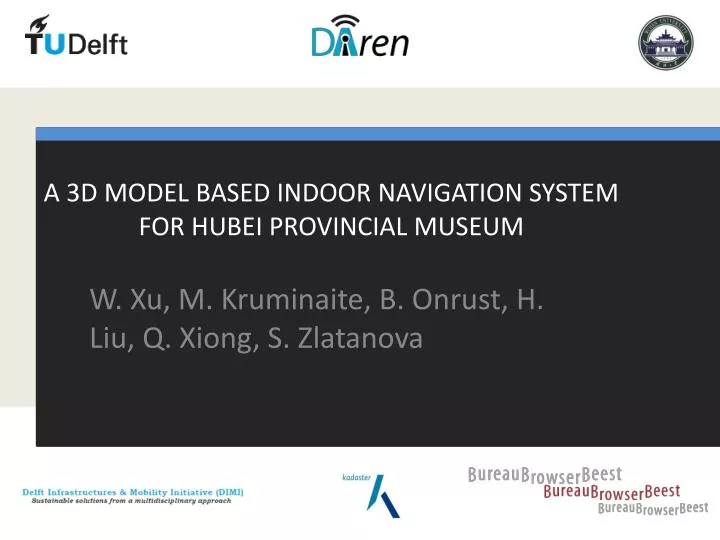
A 3D MODEL BASED INDOOR NAVIGATION SYSTEM FOR HUBEI PROVINCIAL MUSEUM. W. Xu, M. Kruminaite , B . Onrust , H. Liu, Q. Xiong , S. Zlatanova. Previous projects. 2008. 2008. 2010. 2009. 2007. 2006. 2012. 2011. Synthesis project 2013.

E N D
A 3D MODEL BASED INDOOR NAVIGATION SYSTEM FOR HUBEI PROVINCIAL MUSEUM W. Xu, M. Kruminaite, B. Onrust, H. Liu, Q. Xiong, S. Zlatanova
Previous projects 2008 2008 2010 2009 2007 2006 2012 2011
Synthesis project 2013 • The overall goal is a 3D multi-purpose indoor navigation application for the Hubei ProvincialMuseum • 3D model of Wuhan • The first activity of the JRC Wuhan-TUDelft Supervisors: • Edward Verbree • Qing Zhu, SisiZlatanova
Key issues • Localisation • System architecture • Model & Database • Network & Navigation • User interface & Visualisation
System Architecture • System Components: • Sever (DBMS) • Web services • Application (HTML&Unity)
Model and database One model for all: localization, navigation, 3D visualization (CityGML) and context information (exhibits) PostGIS: Native geometric data type Spatial index Plenty spatial analysis functions, also in pgRouting module
Relationships between tables Database Design and Implementation Functionalities Localization Navigation 3D Visualization Context Service existingNM CityGML
Indoor research and applications Lorenz et al 2006 Claramunt and Ray., 2010 Google Indoor on Mobile http://w5.cs.uni-sb.de/~stahl/yamamoto Bandi and Thalmann, 1998
3D Grid: fly over, fly under Junqiao (John) Zhao, TUDelft
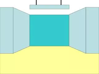
Surface for navigation • Height of the storey • Filter all the bottom faces of doors, walls and floors. • Clean the overlapping parts of those bottom faces manual
Network Extraction Semi-automatic approach: • Constrained Delaunay Triangulation (Triangle Python library). • Center points of the triangles, doors and exhibits • Connecting center points of adjacent triangles, doors and exhibits
3D Network Extraction Navigation between floors stacking the layers of 2D The vertical connections has to be created. Height information has to be assigned to all nodes. (not done) (Till et al 2011)
Mobile visualization technology • Local visualization • Graphic API: OpenGL ES and Mobile 3D Graphics API • Game engine • Remote visualization • Web visualization : HTML5 and WebGL
Pipeline of 3D visualization in Unity3D Path visualization Import 3D model Create scene Export to android Model (.dae) Route info (.txt)
User Interface Images show the exhibits. By pressing one of them, the route to them is then displayed in a 3D scene on the screen Main menu
Path Visualization • The user’s location (starting point as red sphere). • The path as pink line
Future Work • Different user types in the application. • Extraction of 3D navigation network. • 3D model storage in the database. • Information about objects (exhibits) in the mobile device.
Acknowledgements Thank You! Questions?