Download
1 / 38
380 likes | 498 Views
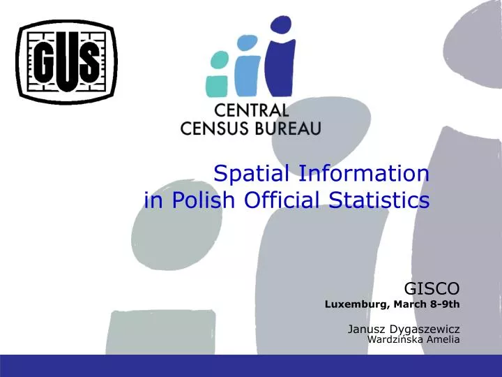
Spatial Information in Polish Official Statistics. GISCO Luxemburg , March 8-9 th Janusz Dygaszewicz Wardzińska Amelia. Transposition of the Directive.

E N D
Spatial Information in Polish Official Statistics GISCO Luxemburg, March8-9th Janusz Dygaszewicz Wardzińska Amelia
Transposition of the Directive • Central Statistical Office(CSO) is actively participatingin works regardingthe implementationof the Directive2007/2/EC of the European Parliament and the Council of 14 March 2007 • National Contact Point: Surveyor Generalof Poland • INSPIRE Implementation Council
INSPIRE Legislation Act • A draft of a spatial data infrastructure legislation act has been created • The act regulates basicsof creationand operationof the Polish Spatial Data Infrastructure
INSPIRE in Central Statistical Office • Central Statistical Office was appointedas a leading unit in terms of two spatial data themes mentioned in appendix III: • Statistical units • Population distribution – demography • As a cooperating unit, Central Statistical Office undertakes actions in terms of two themesfrom appendix I: • Administrative units • Addresses
Spatial informationin the territorial identification registry
address as a universal connector of administrative data • President of the Central Statistical Office is responsible for keeping one of the Polish National Register- TERYT. • Clear identification of territorial objects with different levels of details such as: voivodship, county, municipality, town, village, statistical district, census region, street, building and dwelling
Administrative divisionNational Registry of Borders NUTS2= 16 vivodships
statistical division • obtaining spatial data for the statistical division of Polandhas been completed
Identification system for spatial address point XXXXXX X Address point achievement Identification system for address point 7 6 7 5 Building No. Dwelling No. XXXXXX X YYYYYYY RRRRRR O UUUUU ID of administration levels ID of city, town, willage ID of statistical area ID of street 7 6 7 5 Building No. Dwelling No. x y YYYYYYY RRRRRR O UUUUU ID of statistical area ID of administration levels ID of city, town, willage ID of street
Enumerator • Map module • Ortophotomap • Cadastral Data • Assigned Tasks • Started Tasks • Completed Tasks 27
Enumerator • Visiting all assigned agricultural holdings • Filling electronic questionnaires • Daily synchronisation • Contactwiththesupervisorinterms of taskscheduling • Adding newly identified agricultural holdings 28
fully innovative method involving the use of multiple modern census data collection techniques, at the same time • replacement of paper questionnaires with electronic questionnaires • self-enumeration over the Internet • Hand-held devices • eliminate the need for paper
Implementation of address points • From area allocation (based on census region) to point allocation • Location of buildings is specified using geographical x,y coordinates, giving the exact location of each building and make possibility to linking microdata from several registers. • flexible data grouping for unlimited small area
Implementation of address points creation of a spatial microdata database, which will enable geostatical analysis of various effects such as: Demography town and country planning Agriculture and environment The Economy 33
This will eliminate the necessity to recalculate data when administrative borders are changing. Furthermore, the point assignment will allow easy processing of statistical data in any choosen area • of data in both the administrative division • NUTS system • GRID divisions
This functionality is crucial in all three stages of the census: • the preparatory works, • management of enumerators • and after the census for multidimensional spatial analysis.
Good cooperation between statistical services and spatial data register-keepers is crucialfor integration of administrative data for statistical purposes.
Thank you for your attention Amelia Wardzińska