Download
1 / 23
230 likes | 417 Views
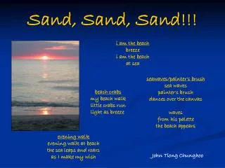
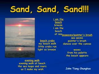
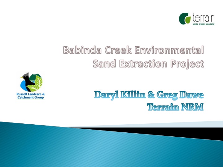
Babinda Creek Environmental Sand Extraction Project. Daryl Killin & Greg Dawe Terrain NRM. 3 THEMES OF RIPARIAN REPAIR. CONTEXT. Babinda Ck Action Plan (2011-2015): Restoring the flow, bank & life Past poor land management Riparian repair works are essential. Welcome to Country.

E N D
Babinda Creek Environmental Sand Extraction Project Daryl Killin & Greg Dawe Terrain NRM
CONTEXT • Babinda Ck Action Plan (2011-2015): Restoring the flow, bank & life • Past poor land management • Riparian repair works are essential
Welcome to Country Ning-u Bulmba I you BulmbaYondaBulmbaYoumeeBulmba IDINJI WELCOME “This is my place, it is also your place and our place.” Murrai (Annie Wonga)
BABINDA CREEK ACTION PLAN The Russell River catchment has been the subject of numerous plans and reviews in the past 30+ years, many of which identify recurring issues that have long been associated with the area, including: • Loss of vegetation and natural buffer zones • Sedimentation of the river and its tributaries • Increasing pressures on health of waterway due to severe erosion • Waterway health (hydrology, water quality, exotic weed infestations)
ENVIRONMENTAL SAND EXTRACTION OBJECTIVES • Remove excessive sedimentation • Batter the slopes & rockwork where required • Re-establish riparian vegetation • Community engagement & involvement • Sustainable project funding (commercial & non-commercial elements)
2. Data assessment, analysis & visual presentation Transect profiles (1 & 2) derived from GPS & dumpy-level survey showing location of strata sample sites 1 to 4 & base of extraction zone (blue line)
Spit stratigraphy across sample sites Mean deposition depths across spit
Wireframe plot of Stagers Spit showing sand extraction zone (purple) allowing 4 to 1 batter off headland Site contours with waypoints classed for sand extraction potential at Z=18
(a) Gross sand volume calculations • Volume calculation by Surfer_10 software on area bounded by 135 digitized points added to contour plot. • Area extends from headland on right bank to dry-season water’s edge. • Cut-off depth of extraction zone is 18m ASL. • Gross volume of sand in spit area is 39372 cubic metres
(b) Operations plan considerations Note that the Z level in the Surfer software refers to the dotted line below.
(c) Final sand volume calculations Method two: volume calculated manually from field-survey height (sand depth)data × planar area Method one: volume calculated by Surfer software on area inside 72 pt boundary
3. Permits & Approvals: Existing Landholder Guidelines • Existing Arrangements: Landholder Guideline released by DERM Version 2 Feb 2012 • Necessary excavating activities only in watercourse without RPP by owner or lessee in association with restoration, flood mitigation, erosion protection or weed control. For full details see handout http://www.derm.qld.gov.au/about/policy/documents/4765/wap_2011_4765.pdf • Once-off excavation only <500 cubic metres • Requires consent of adjacent landowners • Activities must be recorded and kept for a minimum of 2 years • Operation must meet required outcomes and acceptable solutions as (unavoidable removal, no adverse impact on water quality, must not impound/impede, no destabilisation)
3. Permits & Approvals: DNRM Allocation & Development Assessment • DNRM gave Notice #300269 to RLCG of approval for up to 35,000 cubic metres of Quarry Material Jan 2013 under Water Act 2000 from the bed of Babinda Creek adjacent to Lot 2 on Plan RP742680 (adjoining Panebianco & Stager). The permit expires 31 Dec 2017 but the volume can be extracted in 1 year. • Requirement still for RLCG to obtain Development Approval from Cairns Regional Council via IDAS process – this is underway and CRC local Councillor Steve Brain is trying to get fees waived in lieu of the fact that RLCG is non-profit. • Material removed as waste is not to be used for any commercial purpose that is considered productive or commercial. • Cultural Heritage assessment will be carried out involving Wanyurr-Majay Traditional Owners prior to any operations proceeding.
4. RLCG Operational Plan • Next step is preparation of an RLCG Operational Plan to be endorsed by DNRM. Includes type and location of machinery, records management (daily extractions by volume), site rehabilitation with tree planting and 4:1 batter of sand leading up to southerly bank. • First priority of RLCG will be offering waste material to landowners as fill to be placed on riparian land adjacent to any reach of Babinda Creek. This sand is royalty free from DNRM but extraction and transport costs will still need to be paid. • Second priority will be exploring the possibility of commercial operations that will incur $1.79/m3 royalty to DNRM, involving a Quarry Material Allocation Notice. This will be done in a manner sensitive to the business interests of the other current licencees in the catchment.
5. Project Management • Upon finalisation of Operations Plan, Project Management will be done by RLCG and any contractors they engage. • Any contractors and machinery will need appropriate OH&S requirements, insurance etc. • Tree planting must be done as part of the operation and the cost will be included in extraction costs • All enquiries for sand will need to be emailed to RLCG russell.landcare@gmail.com or by phone on Tues & Wed on (07) 4067 2515.
6. Monitoring & Reporting • Note this is a non-profit project focussed first and foremost on monitoring the impacts and benefits of sand extraction on downstream erosion ratesand flooding. • RLCG will report monthly to DNRM regarding extraction rates & with support from Terrain will monitor the downstream water quality impacts each month via photo points (already in place & GPSed) and regular water quality sampling. • Other agencies such as ACTFR will be invited to participate.
END of MAIN PRESENTATION Please save your questions for the Workshop…..