Download
1 / 37
390 likes | 598 Views
USE OF GPS FOR CROP AREA MEASUREMENT. The CIRAD experience. PRESENTATION OUTLINES. GPS System Area Calculation with GPS Experiences and lessons learnt. PRESENTATION OUTLINES. GPS System Area Calculation with GPS Experiences and lessons learnt. GPS Today. Initially developed by USA DoD

E N D
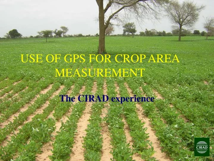
USE OF GPS FOR CROP AREA MEASUREMENT The CIRAD experience
PRESENTATIONOUTLINES • GPS System • Area Calculation with GPS • Experiences and lessons learnt
PRESENTATIONOUTLINES • GPS System • Area Calculation with GPS • Experiences and lessons learnt
GPS Today • Initially developed by USA DoD • Objective : localization on earth with 15m precision • Two precision levels • Military, with encryption • Civilian : lower precision (~100 m) • Since May 2000 • Full accuracy to civilian receptor • Precision ~10m
GNSS Tomorrow • Other initiatives • GLONASS (Russia) -> 2011 • GALILEO (Europe) -> 2013 • COMPASS (China) • India, Japan, etc. • User receptor will use all systems • Increased precision (2013 -> ~2m) • Faster start phase • GNSS : Global Navigation System Services
GPS system organization • Spatial segment • Satellites • Control segment • The “brain” of the GPS- owned, operated, and controlled by the U.S. Government • User segment • Radio receptor • Clock • Calculator
THE GPS SPACE SEGMENT • 24 satellites • Very high altitude (20 200 km) • Orbit in 11h58min • Moving user visible constellation
Trilateration • Distance between satellite and user receptor is computed accorded to time delay • Three satellites are enough to determine a position on the ground
Trilateration • Satellite and receptor should have synchronized clocks (~1ns) • A fourth satellite is necessary to adjust the receptor clock • Fifth and following satellites improve precision
Spatial segment error sources • Signal propagation through atmosphere • Clocks inaccuracy • Satellite position inaccuracy • Constellation geometry How to correct? • Differential correction • Time of measurement
Dilution Of Precision Poor GDOP Good GDOP Poor GDOP • How to improve precision? • Clear obstacles • Good GDOP (depending of situation) • Avoid multipath • Multiple measurements (delay?)
PRESENTATION OUTLINES • GPS System • Area Calculation with GPS • Experiences and lessons learnt
m y x Overview of the projection problem • Many representations of the 3D World (WGS 84, INT 1909, different DATUMS) • Leading to different measurements of longitude and latitude 3D World to 2D Map
How to project Isomètre Tangente On acone Origine Origine Or a cylinder
Different projection systems MERCATOR DIRECTE MERCATOR TRANSVERSE ALBERS CONIQUE LAMBERT CONIQUE
Long/lat map Projection « plate carrée » : x=, y= (ne conserve ni les surfaces, ni les angles)
Conform projection map Projection de Mercator : x=, y= tan(/2 + /4) (conservation des angles, distorsion des surfaces)
Distortion in a UTM zone All circles have the same ground area
Other problems • Manual coordinate report • Units confusion (DD, DM, DMS) • Orientation confusion (W/E N/S and +/-) • Wrong GPS setup • Wrong coordinate transformation setup • Need of assessment data (control points, visualization in GIS, etc.)
PRESENTATIONOUTLINES • GPS System • Area Calculation with GPS • Experiences and lessons learnt
Experiences and lessons learnt • Measurements under forest • Soil plot assessment • Plot area measurements • Manual recording of data • GIS and virtual globe link
Measurements under forest 10 0 DOP without 20° 30° mask mask mask
Measurements under forest • Lessons learnt • Measurements are better outside forest • Use of external antenna on a mast • (essential with dense canopy) • DOP varies largely with time
Soil assessment in Mali Linked with GIS
Plot area measurements • Several research works in Africa, Vietnam… • Lessons learnt • Easy to share with untrained people • Recorded plot features (shape, area, • localization) and attributes recorded on GPS. • Data available for future use (no need to • measure again an unchanged plot) • Sometimes farmer suspicions
Manual recording of data Manual report
Manual recording of data Data import, topology to create again Data reformat, reproject… Import data into GIS
Manual recording of data • Lessons learnt • Do we track full plot polygons or • limits between plots • Graphics GPS can help on complex • plot distribution • Small plot shape errors are difficult to • recover over time • Direct GPS/PC connection saves time • and avoids errors
Link with GIS and virtual globes Example from Madagascar (TAFA) With google earth Low resolution and high resolution images
Link with GIS and virtual globes Direct GPS import with google earth plu
Link with GIS and virtual globes GPS or Google Inaccuracies (20m)
Link with GIS and virtual globes • Lessons learnt • Easy to implement • Cost effective • Easy to share between people • Easy to use • More and more high resolution images • Limits: • No database, No area calculation, • First internet connection to download images
Summary • GPS system • very efficient, • handheld GPS precision should increase • From GPS to plot area • protocol needed to optimize accuracy • numerous ways to make errors • From plot area to (light) GIS • must be more fluent
Conclusions / Perspectives FAO proposed manual is essential It should lead to GIS at short/medium term It could include (or recommend) simple software and standardized data format exchange