Download
1 / 30
310 likes | 433 Views
Pleiades: a collaborative workspace for ancient geography Tom Elliott, director, ancient world mapping center. Overview of presentation. goal describe current state of planning and design of a digital, collaborative workspace for ancient geography solicit comments, suggestions and critiques

E N D
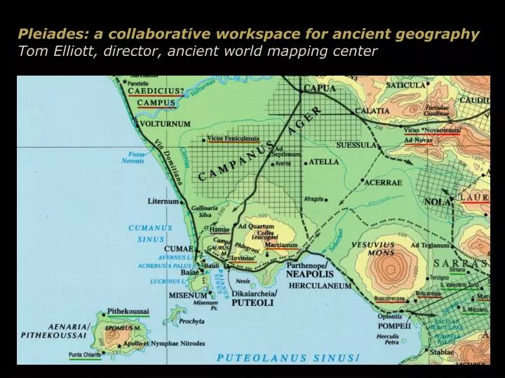
Pleiades: a collaborative workspace for ancient geographyTom Elliott, director, ancient world mapping center
Overview of presentation • goal • describe current state of planning and design of a digital, collaborative workspace for ancient geography • solicit comments, suggestions and critiques • structure • a hypothetical research scenario • challenges to successful completion of research • Pleiades: how it will help & how it may work
Roman roads: a reference system • “I have gathered in this sketch ... such facts, hitherto scattered, as I have been able to get together, which bear on [the administration of the Roman aqueduct system] ... The present treatise also may be found useful by my own successor, but it will serve especially for my own instruction and guidance ... • I will first set down the names of the waters which enter the City of Rome; then I will tell by whom, under what consuls, and in what year after the founding of the City each one was brought in; then at what point and at what milestone each water was taken; how far each is carried in a subterranean channel, how far on substructures, how far on arches. Then ...” • Frontinus, On the Aqueducts (de aquaeductu), 1.1, 3 • text courtesy of Bill Thayer, http://www.ukans.edu/history/index/europe/ancient_rome/E/Roman/Texts/Frontinus/De_Aquis/text*.html)
To the source of the Aqua Virgo “[Marcus Agrippa], after his own third consulship, ... brought Virgo to Rome, taking it from the estate of Lucullus. ... The intake of Virgo is on the Collatian Way at the eighth milestone, in a marshy spot, surrounded by a concrete enclosure for the purpose of confining the gushing waters. Its volume is augmented by several tributaries. Its length is 14,105 paces....” - Frontinus, On the Aqueducts (de aquaeductu), 1.10
Roman milestones Roman milestone
Itineraries and itinerary maps Detail from the Tabula Peutingeriana
Discoveries ex machina: the ‘Stadiasmus Provinciae Lyciae’ • Patara (mod. Gelemiş in Turkey) • a built-over 6th century AD Byzantine wall, a 1993 fire ... • a description of the provincial road network in Lycia, erected by the first governor, Q. Veranius (AD 43/44-47/48) under orders from the emperor Claudius: over 40 blocks recovered
Hypothetical stadiasmus ‘pinned’ to known features • Some nodes in the network can be located exactly (e.g., Arsada, Tlos) • Nodes without locations can be constrained because of their connections with located nodes (e.g., Cora) • Previously unattested connections (road segments) between located nodes are constrained by various factors …
Predictive modeling for node and segment locations Predictive modeling for node and segment locations • Constraints supplied by: • Known node locations • Known road segments • Segment lengths (stadiasmus) • ‘Connectedness’ of unlocated nodes (stadiasmus) • Characteristics of observed contemporary road / terrain relationships • Multiple candidate segments / node locations possible • Constraints may force something to a very narrow area(!)
What do you need? • Collaboration: methods, techniques • Data • Terrain elevation • Locations of settlements, road segments, milestones, … • Names of things that aren’t located • Dates • Archaeological survey data • Bibliography -> to get data and understanding
How do you get what you need? • Prior to September 2000: Smith’s Atlas (1874)
How do you get what you need? • Prior to September 2000: Tabula Imperii Romani
How do you get what you need? • Prior to September 2000: the ‘attribute data’ • Pauly? • Specialized bibliography? • Into the swamp ...
Barrington Atlas: what more do we need? • More data: larger scales, other time periods • Digitize & georegister • Break the static map paradigm! • Data discovery, data aggregation • Locations • Names • Attributes (period, type, importance) • Accessibility • Make integration with other data sources modular and easy
The Pleiades data model: geographic entities ID rageID entity
is called The Pleiades data model: placenames ID name entity placename language nametype encoding
ID locationType is located at locationDescription location locationCertainty is called geoLocation placename The Pleiades data model: location(s) entity
ID dateType was active date dateString dateValue dateCertainty The Pleiades data model: dates location is located at entity is called placename
ID dateType was active date dateString dateValue dateCertainty was used The Pleiades data model: some more dates location is located at place is called placename
The Pleiades data model: etc. • For points, lines and areas: • Uncertainty models, disagreement • What if the “same” entity changed locations? • Bibliographic references – live links? finding guide? • Continuous data • Elevation and elevation-derived data • Remotely-sensed data / aerial photographs • Data that doesn’t fit our paradigm • Archaeological survey data
Other modeling & design issues • Legacy data • Use cases • Security • Editorial authority • Platform/implementation • External connectivity • e-text resources • Register of Ancient Geographic Entities (RAGE) • Stoa Waypoints Database
Where we actually are • Classical Atlas Project data • Gazetteer + Map-by-Map Directory to XML • 60% of maps in Adobe Illustrator format • test conversion process • eventual production in house? • 40% of maps are film-produced • exploring raster scanning options (proof-of-principle) • eventual production contracted out? • Pleiades design and implementation • Prototyping summer 2001 • Soliciting Barrington Atlas critiques • Downloadable and interactive web forms • Results to XML for eventual incorporation
draft, propose, modify, retract entity concur, demur, concur with modification, annotate thisChange affects recommend, deprecate, recommend with mod., annotate is part of change history commit, reject, defer, modify, annotate annotate task task task managing change! affiliate 1 affiliate 2 reviewer editor researcher
Ancient World Mapping Center • to promote cartography and geographic information science as essential to the study of antiquity • http://www.unc.edu/depts/awmc