Download
1 / 37
370 likes | 548 Views
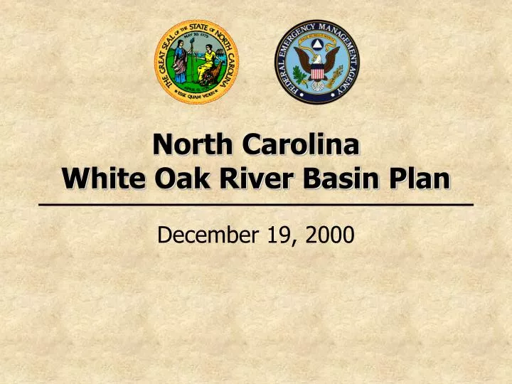
North Carolina White Oak River Basin Plan. December 19, 2000. North Carolina Cooperating Technical State Flood Mapping Program Overview. Purposes of the NFIP. 1. Make flood insurance available 2. Identify floodplain areas and flood risk zones

E N D
North Carolina White Oak River Basin Plan December 19, 2000
North CarolinaCooperating Technical State Flood Mapping Program Overview
Purposes of the NFIP 1. Make flood insuranceavailable 2. Identify floodplainareas and flood risk zones 3. Provide framework for a community’s floodplain management ordinances
Importance of Updated Flood Hazard Information • With up-to-date flood hazard data: • Map users can make prudent siting, design, and flood insurance purchase decisions • Communities can administer sound floodplain management programs
North Carolina’s Flood Mapping Program • Program established to implement the Cooperating Technical State (CTS) Partnership with FEMA, signed September 15, 2000 • Ownership and responsibility for Flood Insurance Rate Maps (FIRMs) delegatedto State
Why North Carolina Is Undertaking This Project • State’s vulnerability to hurricanesand flooding • 14 federally declared disasters since 1989 • Hurricane Floyd damages = $3.5 billion • 4,117 uninsured/under-insured homes destroyed as result of Hurricane Floyd • Accurate, up-to-date flood hazard information crucial to protect livesand property
Why North Carolina Is Undertaking This Project • Hurricane Floyd revealed flood hazard data and map limitations • Age of North Carolina FIRMS • 55% at least 10 years old • 75% at least 5 years old • FEMA’s mapping budget is finite • North Carolina receives only one updatedflood study for one county per year • Many counties and communities lack resources to take on this responsibility
Program Components • Developing flood hazard studies through community mapping needs analysis (Scoping) • Acquiring high-resolution topographic data and accurate Digital Elevation Models (DEMs) • Conducting engineering studies • Generating countywide digital FIRMs (DFIRMs) • Designing and implementing state-of-the-art, dynamic IT infrastructure • Supporting real-time flood forecasting and inundation mapping capability
+ + Topography Flood Data Base Digital FIRM = Digital FIRM
Funding for this Program • In August 2000, North Carolina General Assembly approved funding for first six river basins ($23 million) • FEMA has contributed $6 million, as well as in-kind professional services • North Carolina is also working with other Federal partners to secure additional funding
Benefits of North Carolina’s CTS Program • Current, accurate data for sound siting and design decisions • Better floodplain management to reduce long-term flood losses • Updated data to alert at-risk property owners of the need for flood insurance • Faster, less expensive FIRM updates
Benefits of North Carolina’s CTS Program • Digital format to allow: • More efficient, precise flood risk determinations • Geographic Information System (GIS) analysis and planning • Online access 24 hours a day • DEMs will be useful for almost any engineering or planning application
White Oak River Basin • Located in the southern coastal plainof North Carolina • Includes 4 separate river drainage systems (New, North, White Oak, Newport Rivers and tributaries) • Comprised of portions of 4 counties and 14 municipalities
Scoping Phase for White Oak River Basin The Scoping Phase determines: • What areas are floodprone and need flood hazard data developed • What methods will be used to generate flood hazard data • How the data will be presented on FIRMs
Scoping Phase for White Oak River Basin • Research/inventory all available elevation, flood hazard, and digital base map data • Assess existing flood hazard data on effective FIRMs • Determine appropriate technical method for developing up-to-date flood hazard data and establish priority level • Five Steps of Scoping Phase
Step 1 — Initial Research and Community Coordination • State held “kickoff” meeting with county and local floodplain administrators • Obtained community mapping needs • Effective Flood Insurance Study (FIS) and FIRM information was researched • Post-Hurricane Floyd data was evaluated • Research and mapping needs were entered into GIS-enabled scoping database
Step 2 — Initial Scoping Meetings • State held meetings with each county to present research results and discuss flood mapping needs • Input gathered from communities on proposed study priorities and analysis methods • Identified potential resources of local GIS base map data
Step 3 — Draft Basin Plan • Plan for developing updated flood hazard data and countywide DFIRMs • Comprised of results from research and county and community input • Includes listing of flooding sources to be updated within the basin, technical methods, and projected schedule
Step 4 — Final Scoping Meeting THIS IS WHERE WE ARE TODAY! • All impacted counties and communities invited • Draft White Oak River Basin plan presented • Provides final opportunity for input
Step 5 — Final Basin Plan • Draft Basin Plan will be revised following the Final Scoping Meeting • Watershed Concepts, Inc., will develop proposals for the State • White Oak River Basin Plan will be finalized and distributed to impacted counties and communities • Production phase will then begin
North Carolina White Oak Basin Meeting QUESTIONS ON THE SCOPING PHASE ? ? ?
Draft White Oak River Basin Plan • Summarizes scoping phase • Outlines how base maps and topography will be acquired • Proposes engineering methods by which each flooding source reach will be studied • Describes the process and schedule for completing the map production
Base Maps • Countywide Digital FIRM Production will be based on the following: • U.S. Geological Survey (USGS) Digital Orthophoto Quadrangles (DOQs), based on 1998 Aerial Photography • Local GIS data for streams, political boundaries, and roads may be used to supplement the DOQs
Topographic Data • Will be acquired using airborne Light Detection and Ranging (LIDAR) • Will be acquired during the Winter2000-2001 flying season • Will produce an equivalent to a approximately 2-foot contour interval map in floodplains • Digital Elevation Models (DEMs) will be generated to be used for modeling
RecommendedStudy Areas • Five study options: • Detailed study (riverine) • Detailed study (coastal) • Redelineate using updated topographic data • Approximate study • Use current effective information (not selected for any areas)
Detailed Study — Riverine • This method requires the following: • DEMs • Field surveys • Channel bathymetry • Bridge/culvert opening geometry • Channel and floodplain characteristics • Detailed Hydrologic and Hydraulic Analyses • 10%, 2%, 1%, and 0.2% annual chance flood elevations and boundaries identified (Zone AE) • Floodways delineated
Detailed Study — Coastal • This method produces the following: • Floodplain mapping for areas alongopen coast and embayments • Designations as Zones AE or VE No detailed coastal studies are proposed
Redelineation • This method requires the following: • DEMs • Effective FIS flood elevations Proposed for all areas currently shown on effective FIRM as Zone AE or VE and not being restudied
Approximate Study • This method requires the following: • DEMs • Delineation of 1% annual chance floodplain boundaries using approximate methods • Does not include collection/use of field-collected topographic data or bridge/culvert data Proposed for all areas currently shown on effective FIRM as Zone A and not being restudied in detail.
Use of Effective Information • This method involves no new analyses or floodplain mapping • Effective FIS and FIRM data is digitized and fitted to updated base map This method is not anticipated to be used for any communities in the White Oak River Basin
Variations from Community-Identified Needs & Priorities • Necessary to deviate from community-identified needs and priorities due to: • Conflicting needs and priorities identifiedby contiguous communities sharing a flooding source • Less dense development • In these instances, the State used a quantitative ranking system to determine methods
Digital FIRMs • Digital FIRMs will be produced in a countywide format • Will depict all flood hazard data • FIRM panels will be consistent with USGS DOQ tiling scheme
Community Review and Due Process • Preliminary FIRMs provided when White Oak River Basin Study is complete • 90-day appeal period • Preliminary Countywide FIRMs provided when adjacent basin studies are complete • All appeals evaluated and resolved • Final Effective FIRMs provided and made available by the State on its Information Management System
Community Review and Due Process • Many counties and communities will need to update their floodplain management ordinances • Communities will be given a 6-month period to do so • NCDEM and FEMA will coordinate this effort with affected communities
North Carolina White Oak Basin Meeting QUESTIONS ON THE DRAFT BASIN PLAN ? ? ?