Download
1 / 15
150 likes | 237 Views
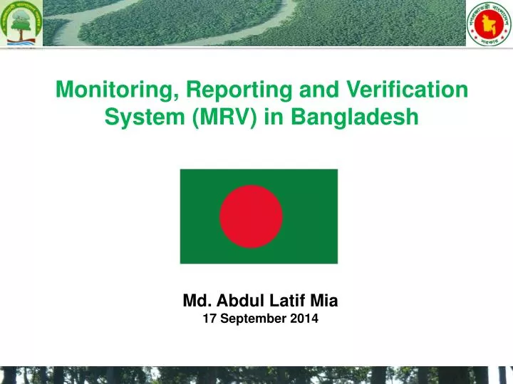
Monitoring, Reporting and Verification System (MRV) in Bangladesh. Md. Abdul Latif Mia 17 September 2014. Basic Facts. Population: 160 M Population Density: 1015 per sq KM Per capita GDP: 838 USD Area: 147,570 Sq KM Forest Area: 2.6 M Hectres GDP Growth Rate: 6%

E N D
Monitoring, Reporting and Verification System (MRV) in Bangladesh Md. Abdul Latif Mia 17 September 2014
Basic Facts Population: 160 M Population Density: 1015 per sq KM Per capita GDP: 838 USD Area: 147,570 Sq KM Forest Area: 2.6 M Hectres GDP Growth Rate: 6% Total Emission: 59,608 Gg Emission from LUCF: 18,026 Gg
MRV context of the Country National Forest Inventory (NFI): the previous NFI has not covered some forest type (the sampling strategy did not covered some forest types) Forest Monitoring System (FMS): one national forest cover assessment was performed (coarse resolution), and several sub-national land cover assessment (not compatible between each other) Green House Gas Inventory (GHG-I): mainly performed by contracting external resources
1. General aspects of the monitoring system Emission Factors There is no regular national forest inventory to provide emission factors
Experience at National Level • National Forest Inventory (NFI): • NFI conducted for the first time in 2005-06 • NFI has not covered some forest type (the sampling strategy did not covered some forest types) Source: NFA 2007
Experience at Sub-national Level Detailed inventories were conducted in different forest types in different year under different project using different methodologies. They are: • Inventory of the Hill Forests (1958-60, 1984-85, 1996-97) • Inventory of the Plain land Sal Forests (1984-85, 1999-2001) • Inventory of the Sundarban Reserved Forests (1958-60, 1984-85, 1996-97) • Inventory of the Coastal Afforestation (1996-97)
Activity data During the 1st and 2nd National Communication, Approach 1 (total area of each land category estimated, but area of conversions not provided, and non-spatial) was used for GHG reporting • Forest Monitoring System: • Project based monitoring • one national forest cover assessment was performed using the Landsat of 2004-05 • several sub-national assessment conducted under different project using different methodology in different time
Experience at sub-national Level in Sundarban • Mid to very high resolution satellite imageries was used for the assessment of the forest areas in different times • SRF assessment and mapping was done using aerial photo of 1960, 1981, 1995 and IKONOS imagery of 2012 • No accuracy assessment was done
Other experiences at Sub-national Level Assessment was done in different forest types using aerial photographs and satellite imageries in different year under different project. They are: • Assessment of the Hill Forests (part)(1958-60, 1998, 2013) (Aerial photo, SPOT 4, IKONOS and Rapid eye) • Assessment of the Plain land Sal Forests (1984-85, 2013) (Aerial photo and IKONOS) • Assessment of the Sundarban Reserved Forests (1960, 1985, 1998, 2013) (Aerial photo and IKONOS) • Assessment of the Coastal Afforestation (1992, 1997, 2013 ) (Aerial photo and Rapid eye) • Several other assessment was done for the protected areas using satellite imagery (Landsat, SPOT, LISIII, LISSIV, Geoeye)
Future Plan - Successful implementation of the Readiness Preparation Proposal (R-PP)
prior to R-PP development • Three national multi-stakeholder workshops • Five regional multi-stakeholder workshops • Village-level consultations • National ‘way forward’ workshop • About 700 individuals directly involved in consultations
R-PP Approved by the Policy Board of UN-REDD Programme in December 2013 • R-PP included all the activities related to development of Emission factors and monitoring system • R-PP is used to develop the projects
2. Way forward for the development and implementation of MRV & monitoring • One project has been designed for the calculation of emission factor and generation of activity data with the help of Silva Carbon & FAO, is supposed to be started during the end of 2014 • Parallel Implementation of National Programme under UN-REDD Programme, is supposed to be started in October 2014 • capacity building for field inventory and geospatial data processing is on going activity under a project • sustainable support for the capacity building • flow of funding • Exchange of knowledge, views and experiences for the development of a operational MRV system