Download
1 / 23
250 likes | 423 Views
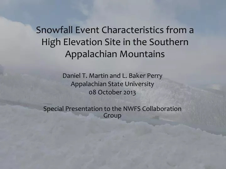
Snowfall Event Characteristics from a High Elevation Site in the Southern Appalachian Mountains. Daniel T. Martin and L. Baker Perry Appalachian State University 08 October 2013 Special Presentation to the NWFS Collaboration Group. Background.

E N D
Snowfall Event Characteristics from a High Elevation Site in the Southern Appalachian Mountains Daniel T. Martin and L. Baker Perry Appalachian State University 08 October 2013 Special Presentation to the NWFS Collaboration Group
Background Accurate assessment of remote snowfall patterns is essential to providing climatological boundary conditions Southern Appalachian Mountain (SAM) region unique due to low latitude, proximity to moisture-rich Gulf of Mexico Sparse reliable high-elevation climatological records exist in the Appalachians
Societal Impacts: The 1998 Roan Mountain Flood Deadly flooding (7 lives lost) attributed to heavy rainfall, relatively deep snow pack at highest elevations (i.e., Roan Mountain > 30 cm). Highlights importance of understanding characteristics of antecedent snowfall/snowpack
Study Area • Southern Appalachian Mountain (SAM) Region • Southeast US States of GA, SC, NC, TN, VA, WV, KY • Elevation Range: 183-2037m • Exposed to a variety of synoptic regimes • Northwest flow snowfall • Isentropic precipitation from Miller A/B lows • Cold Air Damming SAM Region (From Perry and Konrad 2006)
Data • Suite of instrumentation in northwestern North Carolina • Mobile Precipitation Research and Monitoring (MOPRAM) surface observations (Roan Mountain) • Micro Rain Radar (MRR, Poga Mountain) • Corroborative wind speed/direction (Poga Top, Grandfather Mountain)
Roan MOPRAM Suite Precipitation type sensor Sonic Snow Depth Temp/RH Pluvio liquid precip w/shield
Data: Additional Lapse Rate Stations • Use Nearby NC State Climate Office stations to derive lapse rates from different directions at event maturation hour. • Consider variance among different stations as function of location relative to synoptic flow regime • Determine maturation wind direction—station used for final lapse rate selection Roan MOPRAM
Microwave Rain Radar Reflectivity Velocity
Case Study: Hurricane Sandy Remnants • In late October Hurricane Sandy makes landfall in New Jersey • Phasing with longwave trough initiates prolonged period of upslope snowfall, unseasonably cool temperatures • Storm total estimated, 79.5 mm liquid equivalent precipitation 71-89 cm snowfall
Methods Overview • Manually determine snowfall events through systematic approaches • Compare MOPRAM data with Vertically Pointing Radar • Seek low fall speeds indicative of solid precipitation
Methods Overview • Generate characteristics for determined event catalogue • Seasonal wind direction histograms • Precipitation statistics by synoptic event type • Derive parameters • Lapse rates • Seasonal snowfall estimates • Orographic enhancement of precipitation • Radar-derived cloud characteristics • Snow cover days
Summary Statistics • Temporal Range: 30 September 2012 – 04 April 2013 • Number events: 25 • Average event duration (hr): 18.92 • Event Totals • Snow Liquid Equivalent Precipitation: 364 mm • Event Hours: 472
Wind Direction • West-northwest winds dominate majority of events • ~69% (328 event hours) include direction between 270, 360 degrees • Modal wind direction: ~280 degrees
Radar Summary Statistics • Qualitatively determine event begin, maturation, end echotop height, freezing height using MRR data. • Decrease in both freezing height, ET on average for event suite • Greatest decrease of ET from maturation to end (low-level clouds driven by orography alone) • Greatest decrease of melting height from begin to maturation (initial cold air advection)
Lapse Rates Derive lapse rates from various sites around Roan at event maturation High variance as function of wind direction To do: Determine best event lapse rate as function of wind direction (use upwind stations)
Orographic Enhancement Factor • Ratio of Roan to Poga liquid precipitation amounts • Average enhancement: 2.25 for 900 meter height differential • Additionally consider exposure to NW flow.
Seasonal Snow Depth Manual reports of SWE (mm), Density (kg/m3) shown 65, 232 88, 203 34, 193 44, 219 99, 244 141 , 292 66, 200 Days snow cover >1 cm: 104 (53%) Days snow cover > 25 cm: 43 (22%) DJF Snow Cover: >88% of hours
Conclusions • Installation of an automated precipitation station in a high elevation location favorable for snowfall in SAM region allows new snowfall characteristics to be determined for the first time • Majority of snowfall events during 2012-2013 season dominated by west, northwest winds • Location receives further enhanced precipitation being on NW escarpment of NC/TN border. • Conditionally to absolutely lapse rates explain potential for embedded convection despite synoptic-scale subsidence. • Vertically pointing MRR a valuable tool for determining freezing height, predicting onset of frozen precipitation.
Implications/Future Work • Implications/contribution of MOPRAM • Unique remote sensing suite in highly favorable northwest flow snowfall location, [relatively] easy to access for manual SLR observations • Can be used in a variety of studies as literature suggests that top of mountain crest vital for verifying various kinematic/thermodynamic hypotheses • Considerations for Future Work • Utilize compaction algorithms to improve snow depth profiles. • Continue building snowfall climatology from MOPRAM, consider local radar/wind sensors. • IOPs (e.g., soundings, manual observations) from Roan and nearby sites to compare with derived observations (e.g., snow depth, lapse rates) • Further seek patterns by synoptic event type at top of mountain as events database increases; do they match surrounding low-lying sites? Why or why not? • Reanalysis data?
Questions? Acknowledgements The authors would like to thank Mike Hughes, Dana Greene, and the College of Arts and Sciences as well as the Office of Student Research. Dr. Sandra Yuter of North Carolina State University. Special thanks to Jonathan Welker for assistance with site installation. Steve Keighton, Laurence Lee, Douglas Miller for assistance with synoptic event classifications This material is based upon work supported by the National Science Foundation under Grant # EAR 0949263.