Download
1 / 22
220 likes | 384 Views
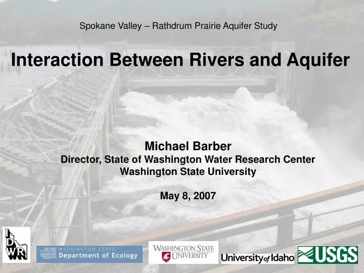
Spokane Valley – Rathdrum Prairie Aquifer Study. Interaction Between Rivers and Aquifer. Michael Barber Director, State of Washington Water Research Center Washington State University May 8, 2007. Surface/Groundwater Interaction Options.

E N D
Spokane Valley – Rathdrum Prairie Aquifer Study Interaction Between Rivers and Aquifer Michael Barber Director, State of Washington Water Research Center Washington State University May 8, 2007
Surface/Groundwater Interaction Options Dingman, S. Lawrence. 2002. Physical Hydrology 2nd Edition.
Quantifying Aquifer/River Interaction • This concepts explains why the total volume of the SVRP is not as important as the active portion • the part above the river bottom • To determine gaining, losing and neutral reaches of surface/groundwater exchanges, additional Seepage Runs were conducted.
What are Seepage Runs? D C B A Gaining reach QD > QC Transitional reach QC≈ QB Losing reach QB < QA QA QB river QC QD aquifer Nearly simultaneous measurement of river discharge (Q) at different locations (A, B, C, D) to determine streamflow gains and losses between sites.
Seepage Runs • In addition to previous data, 2 seepage runs were conducted as part of this project • August 30, 2005 • August 8, 2006 • The August 30th run was the most comprehensive
Seepage Run Measurement Sites Spokane & Little Spokane Rivers near confluence near Dartford Waikiki Road at Dartford Flora Rd Sullivan Rd Centennial Trail Bridge Rifle Club Rd near Post Falls near Coeur d’Alene Lake below Upriver Dam below Greene St below Nine Mile Dam near Otis Orchards Spokane below Meenach Bridge Greenacres
Seepage Run, August 26-31, 2005 below Nine Mile Dam near Post Falls near Coeur d’Alene Lake Rifle Club Road Centennial Trail Bridge near Otis Orchards below Greene Street Flora Road Green acres Spokane
Seepage Run, August 26-31, 2005 Little Spokane River at Dartford near confluence near Dartford Waikiki Rd
Limited Seepage Run, August 8, 2006 Centennial Trail Bridge below Upriver Dam below Greene Street Spokane
Monthly average gains and losses (next 3 slides) near Dartford at Dartford near Post Falls Spokane near Otis Orchards
Monthly average streamflow gain (+) or loss (-) Spokane River: near Post Falls – near Otis Orchards 2000 2001 2002 2003 2004 2005 This stream segment is: • always losing • loss is typically greater during winter and spring than summer and fall
Monthly average streamflow gain (+) or loss (-) Spokane River: near Post Falls – Spokane 2000 2001 2002 2003 2004 2005 This stream segment typically is: • gaining during period of lower streamflow (summer and fall) and • losing during periods of higher streamflow (winter and spring)
Monthly average streamflow gain (+) or loss (-) Little Spokane River: at Dartford – near Dartford 2000 2001 2002 2003 2004 2005 This stream segment is: • always gaining • gain is relatively constant over time
Surface/Groundwater in MODFLOW • Streamflow Routing Package • Segment to segment flow is determined • Spokane River • River Package • Define stage, bottom elevation, & conductance • Little Spokane River
Controlling Parameters Where: K = Hydraulic conductivity of bed material [ft/day] W = River width [ft] L = Length of river segment [ft] m = Thickness of bed deposits [ft] hr = Elevation of river surface [ft] ha = Groundwater elevation in cell adjacent to river [ft]
Little Spokane River Connection LSR Inflow Reach
USGS gaging station on the Little Spokane River near Dartford