Download
1 / 15
170 likes | 188 Views
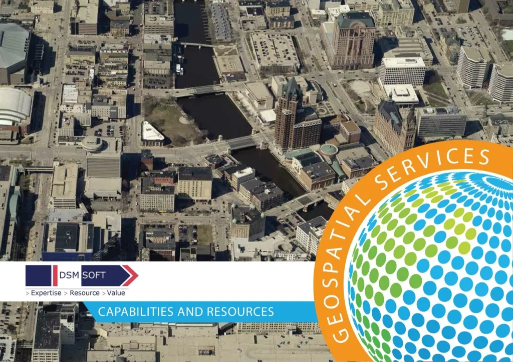
DSM Soft, founded in the year 1991 is currently a leading provider of GIS Solutions,Mapping,Photogrammetry,Lidar Services, epublishing,XML/SGML conversion,eBooks development,multi lingual desktop publishing,book & journal designing,tool & reverse engineering services,animation & technical documentaion services,finite element analysis, knowledge based engineering, coal & public transportation services,Waste Disposal Management.<br>

E N D
INTRODUCTION DSM Soft, founded in the year 1991 is currently a leading provider of products and services in the Geospatial, Telematics, Engineering and Pre-press domains for private and public sector organizations globally. The geospatial division of DSM Soft was established in the year 1994 followed by introduction of photogrammetric mapping services in the year 1999. The geospatial division currently employs over 500 resources The geospatial division over the last two decades has harnessed the experience of working on high volume geospatial projects for private and government mapping agencies to establish highly matured and streamlined process flow lines supported by home grown software programs, systems and operating procedures. With the right combination of its expertise and skilled resources, DSM Soft consistently delivers significant value to its customers by offering : Competitive pricing Complying with delivery schedules Exceptional quality 2
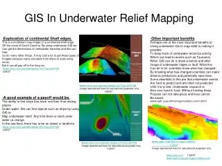
CAPABILITIES DSM Soft has over two decades of experience in providing technical services in the Geospatial domain. We have worked for a number of national mapping agencies, defense, utility and other public & private sector organizations. DSM has the expertise, resources and capability to offer the following services in the Geospatial domain: Land-base mapping – Small, Medium and Large Scale Cadastral Mapping Rail / Road corridor mapping Forestry / Agriculture / Hydro mapping Engineering Photogrammetry Mapping Terrestrial Photogrammetry Mapping Positional Accuracy Improvement of Map features GIS Data Conflation Mapping Services Aerial Triangulation LiDAR / RADAR Processing Contour Generation Digital Terrain Modelling / Digital Surface Modelling 3D City modelling (LoD 1, 2 & 3) / Facade, Roof texturing GeoTerrain based Services Orthophoto Creation Image enhancement Remote Sensing / Change detection Geo-referencing / Geo-rectification Land Use, Land Cover and Habitat Classification Image Processing Services 5
Cloud points to BIM Point cloud registration CAD conversion Revit modeling Revit family creation 3D mesh modeling 3D modeling 3D animation and walk throughs Building Information Modeling Data capture Data Maintenance Positional accuracy improvement Utility Network Information System GIS Solutions Design Services GIS Solutions Development Services GIS Web Solution Services Documentation and Training GIS Solutions - Design and Development Onboard Diagnostics Integration with sensors Web based deployment Cloud hosted deployment Stand alone deployments Mobile phone based tracking Analytics Indoor Navigation Vehicle Tracking and Remote Telemetry Solutions: Html5 Flash Web design: 6
CAPABILITIES Employs over 500 staff in the Geospatial Division. Provides comprehensive and cost effective services to: National Mapping Agencies Local Councils Non-Government Mapping Organizations Imagery Product Suppliers Cartographic map producers Navigation map producers GIS solution providers Forestry data providers Land Administration and Revenue Oil & Gas producers and distributors Water network maintenance boards Sewer & Storm network maintenance boards Electrical & Telecom service providers 7
RESOURCES DSM firmly believes in laying equal importance on its men, machines and the core operating philosophy. Over the years, through its progressive HR policies attracted and retained top talent in the Geospatial domain. It has also built a wide ranging inventory of latest equipment and software in the domain. The core operating philosophy is highly evolved and practiced religiously in the day to day operations. This is further discussed here under 3 main heads: Manpower Hardware and Software Core Operating Philosophy 8
RESOURCES - Manpower DSM has over 500 employees in its geospatial division. The detail break up of their typical qualification and experience is found in the table below. Production Staff (GIS, Utility and Photogrammetry) 2 Associate Vice President 390 3 Sr Mgr / Mgrs & Asst Mgrs Total Staff in Production (A) 18 Team Leaders 18 Senior Engineers Engineers 349 Support Staff (Quality, Human Resources, Technical Services, IT support, application development etc) Vice Presidents 2 Mgrs / Asst Mgrs 10 Team Leaders 6 137 Sr Engineers / Executives 13 Total Staff in Support Department (B) Engineers / Executives 62 Others (secretaries, librarians, data entry operators etc) 44 527 Total number of staff in geospatial C=(A+B) 10
RESOURCES - Software Skill Matrix Sl. No.Software Key Skills 1 QuantumGIS 2D Vector Mapping 2 MicroStation 2D and 3D Vector Mapping 3 TerraScan LiDAR Classification, Automatic Building footprint extraction 4 TerraModeller LiDAR Classification, Surface Model Generation 5 ESRI ArcGIS Mapping Georectification, Spatial Modelling 6 FME Data Translation 7 OrthoVista Ortho Mosaicing, Automatic Seam Line Generation and Editing 8 Summit Evolution 3D Vector Mapping 9 Application Master / DTMaster DTM Generation / Editing, Stereo Model Setup 10 eCognition Image Processing and Ortho Corrections All Photogrammetry processes including Aerial Triangulation/ Bundle Block Adjustment 11 VirtuoZo AAT + PATB 12 Radius Vision Customised software that handle 3D Geospatial data for OSNI 13 Adobe Photoshop Image Processing 14 Autodesk Revit Architecture Building Information Modeling 15 AutoCAD Map Vector Mapping LiDAR classification / Georectification / Contour generation / Watershed Map generation 16 Global Mapper General Programming Languages (Java,Python, VB.net, C#.net) 17 General software development ESRI ArcObjects, Arcgis Server with Arcgis Javascript API, Geoserver with Openlayers API,QGIS Python, Autocad Lisp, Autocad VBA, Autocad .net 18 Programming and development using spatial techniques and concepts Database administration (Oracle, Oracle Spatial,MySQL, SQL Server, Post GIS) 19 Database Administration 20 Mobile Technology (Android, iOS, Flex / Flash) Mobile applications Mobile Applications 12
RESOURCES - Hardware and Software Servers & Storage Network & Backup Devices Dell Poweredge R720, 2950 and 6850 DELL PowerVault NX3200& NX3230 Storage 4 DELL Sonicwall NSA Firewall 1 2 HP, Cisco & Dlink 24 Port Swiches HP ProLiant DL380 Generation 5 2 27 HP StorageWorks MSL4048 Tape Library Tandberge data HH - LTO5 & LTO6 1 Workstations 2 2D (DELL/HP) 210 3D (DELL) 75 Laptops (DELL/HP/Lenovo) 15 VirtuoZoAAT 13
RESOURCES - Milkyway: Project Enabler Milkyway is the company’s“Digital Nervous System”and functions as: A software platform that automates end to end business processes of all functions within the organization. An automated work allocation system for all small, medium and large projects. A project management tool for reporting, tracking and analyzing project status with access to customers for viewing live status of projects and quality metrics online. A centralized database for technical documentation, software tools, quality control check lists and feedback forms. A Query Tracking System that enables communication and tracking of technical queries with the client. A knowledge bank that allows staff to post suggestions. A repository for generating analytics for decision making on different functions within the organization. 14
CERTIFICATIONS DSM has been practicing information security practices compliant to ISO 27001:2000 standards for many years and was audited and certified by The Joint Accreditation System of Australia and New Zealand (JAS-ANZ). DSM also gives equal importance to the methods it uses to run its business. It has adopted a process driven approach across its organization to ensure that every face of the organization has clear cut goals, which are aligned to the organizations goals, and metrics that will enable them to achieve their objectives thus ensuring that the organizations objectives are met. As proof of its commitment to adopt and follow a customer centric process approach, DSM has developed a Quality Management System in line with ISO 9001:2008 standards and has been certified an ISO 9001:2008 compliant business. 15
CONTACT INFORMATION DSM Soft (P) Ltd DSM Soft is the parent company of the Group. It owns and runs the Production Centres in Trichy (Tiruchirappalli) and Chennai in Tamil Nadu, India. The company’s administration and commercial management offices are in Chennai, India. Avinash Viswanathan, Vice President – Sales and Marketing Mob: +91 93805 72140 Email: avinash@dsmsoft.com Geospatial Production Centre – Trichy, India DSM Soft (P) Ltd, 5, Subramanium Building, Promenade Road, Cantonment, Trichy, India - 620001 DSM GeoData Ltd DSM GeoData Ltd is responsible for the preparation of business proposals and the negotiation of contracts for the DSM Group. All contracts in the European and North American region are held in the name of DSM Geodata Ltd. Registered Office U.K. DSM Geodata Ltd 5, Atholl Crescent Edinburgh EH3 8EJ Scotland, UK www.dsmgeodata.com 16