Download
1 / 21
210 likes | 303 Views
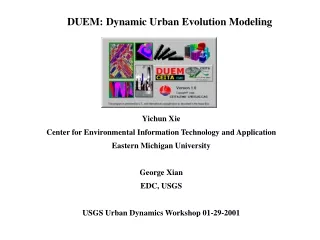
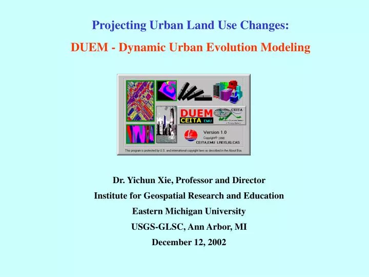
Projecting Urban Land Use Changes: DUEM - Dynamic Urban Evolution Modeling. Dr. Yichun Xie, Professor and Director Institute for Geospatial Research and Education Eastern Michigan University USGS-GLSC, Ann Arbor, MI December 12, 2002. A DUEM Initial Screen. Field. Viability (age) check.

E N D
Projecting Urban Land Use Changes: DUEM - Dynamic Urban Evolution Modeling Dr. Yichun Xie, Professor and Director Institute for Geospatial Research and Education Eastern Michigan University USGS-GLSC, Ann Arbor, MI December 12, 2002
Viability (age) check New Landuse Units A new landuse unit generated Entire system check & update Regional control & policy check Neighbor condition check Transportation condition check Transp. check at new site Neighbor check at new site Site selection for new growth A Flowchart of DUEM Simulation Procedures a new round simulation Initial Landuse Units Not successful simulations dead inactive Active seeds A successful simulation Invalidating new growth Accepting new growth Generating new growth Land use type for new growth
Turn on constraint Factor Create environment Load constraint grid Setup age property Load initial landuse file (grid) Load simulation rules Load active seeds (landuse units) A Flowchart of DUEM Software Running Procedures
Turn on constraint Factor Create environment Load constraint grid
A Flowchart of Creating the Regional Constraint Grid through Spatial Analysis
The Initial Landuse File Defines the Background of a Simulation Background
Load simulation rules % GeoCA-Urban Rule Parameters: Blank Vacant Land 255255255 StreetNode Street Node 139000000 0 0 1.00 2.00 2.00 150 100 150 100 150 100 150 100 4 3 2 10 60 70T 4100 50 0 StreetVertex Street Vertex 139000000 House Housing 255173091 8 30 3000 0 1.00 2.00 2.00 125 125 125 125 125 125 125 125 5 2 0 95 0 5 95 0 5 Industry Industry 123123192 25 20 3000 0 1.00 2.00 2.00 125 125 125 125 125 125 125 125 15 15 40 10 Commerce Commerce 255000000 30 10 3000 0 1.00 2.00 2.00 125 125 125 125 125 125 125 125 10 15 0 10 Others Others 000000000
How to Define Simulation Rules Graphically - Street Node As an Example - 1
How to Define Simulation Rules Graphically - Street Node As an Example - 2
How to Define Simulation Rules Graphically - Housing Landuse As an Example - 1
How to Define Simulation Rules Graphically - Housing Landuse As an Example - 2