Download
1 / 47
470 likes | 475 Views
This presentation discusses the network model in GIS, flow on hydrologic networks, linear referencing, and addressing on networks.

E N D
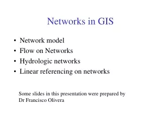
Networks in GIS • Network model • Flow on Networks • Hydrologic networks • Linear referencing on networks Some slides in this presentation were prepared by Dr Francisco Olivera
Network Definition • A network is a set of edges and junctions that are topologically connected to each other.
Network Model in GIS • Three components • Geometric model: (x,y,z,m) coordinates of edges and junctions • Logical model: which edges are connected to what junctions • Addressing model: location on the network using measure
Edges and Junctions • Simple feature classes: points and lines • Network feature classes: junctions and edges • Edges can be • Simple: one attribute record for a single edge • Complex: one attribute record for several edges in a linear sequence • A single edge cannot be branched No!!
Junctions • Junctions exist at all points where edges join • If necessary they are added during network building (generic junctions) • Junctions can be placed on the interior of an edge e.g. stream gage • Any number of point feature classes can be built into junctions on a single network
Build Network Tables • Establishes connectivity of Edge and Junction features • Enables tracing • Generates Generic Junctions Geometric Network Wizard in ArcCatalog
Network Sources and Sinks Each junction feature class in a network can have junctions which are sources or sinks for flow
Hydrologic Networks • Hydrologic data includes: • Single-line streams • Double-line streams • Braided streams • Manmade channel systems • Waterbodies
Flow Line Traces movement of water in a one-dimensional flow system
Introduction to the Hydro Network • Hydro Edge – think of Arc • HydroJunction – think of Node • Waterbody – think of Polygon
Edge Junction Flow Network A connected set of flow edges
Hydro Network Flow Network + Shorelines
Network Building • Define flow-paths within double-line streams and waterbodies. • Define network sinks and sources.
Network Connectivity Find connected Find loops
Network Flow Direction • Enable flow in flow-paths. • Disable flow in shorelines Sink Flow direction is unknown
Network Flow Direction • Enable flow in flow-paths. • Disable flow in shorelines Sink Flow direction is known
Network Tracing Trace Upstream Trace Downstream
Trace Path Find the shortest path between two points on the network
Connecting Drainage Areas to the Network Area goes to point on line
Linear Referencing(Requires ArcInfo 8.1) Where are we on a line?
My Streams are really long… Use ReachID to link many Hydro Edges together into one River
Proportional Aliasing Distance is measured Relative to the length of the line as a percentage 0% – 100%
Setting Percent Measure pMSeg.SetAndInterpolate MsBetween 0, 100 pMSeg.SetAndInterpolate MsBetween 100, 0 0 – 100 going downstream 0 – 100 going upstream
0% Percent distance from bottom end of reach 100%
Measure in kilometers Measure in km from bottom end of line (like river miles or Kilometers) pMSeg.SetAndInterpolateMsBetween 0, ([Shape_Length] /1000)
Point Events on a Line A point event is located on a line at a particular measure value