Download
1 / 11
110 likes | 409 Views
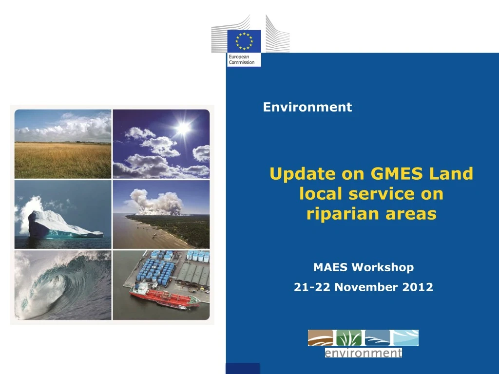
Environment. Update on GMES Land local service on riparian areas. MAES Workshop 21-22 November 2012. Update on GMES status. Reg. 911/2010 : EU Earth Observation programme & GMES Initial Operations (2011-13) with a budget of EUR 107M

E N D
Environment Update on GMES Land local service on riparian areas MAES Workshop 21-22 November 2012
Update on GMES status • Reg. 911/2010: EU Earth Observation programme & GMES Initial Operations (2011-13) with a budget of EUR 107M • Land service: Global component + Pan-European and "local" Land Cover/Land Cover Change components • Emergency Management Service • Urban Atlas mapping ± 300 cities as part of Urban audit (DG REGIO funding) – 2011 product available (EEA website) • On-going GMES Preparatory Action – Reference Data Access • Development on EU-DEM (Digital Elevation Model) and EU-Hydro • Started 2009 – end 2012 (validation being completed) • FP7 Space projects • Geoland2: land service precursor (will end 2012) • Other FP7 projects - water and biodiversity (BIO-SOS, MS-MONINA, Freshmon, Glowasis, MyWater, Sirius..)
GMES Initial operations Land Monitoring service Pan-European Land Cover servicesunderdevelopment(€17 MIO identified, 2011-2013) • 5 new High Resolution layers (1ha MMU)of dominant land-cover classesharmonisedatEEA39 level (wall-to-wall coverage): „Imperviousness“, Forests, Small Waterbodies, Wetlands, Grasslands • ContinuityofCORINE Land Cover/LCC Local Land componentmapping areas of interestat (Pan)EU levelusingVery High Resolution data (2-2,5m resolution) • Urban Atlas (DG REGIO funding) – update 2013-14 • ProposalformappingRiparianareasat EU level • €2.9 M proposed in GMES Work Programme 2013 but riskofbudgetcutting (-29% overall) • DG ENV stronglyengaged in collaborationwith EEA, ETC-Biodiversityand JRC Coordinatedbythe EEA, dissemination on theirportal
Policy relevance Mapping Riparianareasat EU levelrelevant to a numberofpolicyareas, e.g.: • POTENTIAL DIRECT INPUT TO MAES • EU Biodiversity strategy 2020 - TARGET 2: 'Maintain and restore ecosystems and their services' • ACTION 5: "Improve knowledge of ecosystems and their services in the EU: Member States, with the assistance of the Commission, will map and assess the state of ecosystems and their services in their national territory by 2014 (…)" New activity – littleinformationavailableon ecosystemsandtheirservices Importanttohaveseamless, harmonisedandcomparableinformationaccross EU Also relevant to: • management of river systems (Water framework directive) • flood protection (flood directive) • coastal management • adaptation to climate change • NeighborhoodPolicy (e.g. Danube River ProtectionConvention)
Precursor activities Building on exiting initiatives and precursor activities: • JRC report on riparian zones (JRC report “Riparian zones: where green and blue networks meet”, EUR 24774 EN-2011) • River basin management plans of Member States • Corine LC and 5 Pan-European HRLs (imperviousness, forest, agriculture, wetlands and water bodies) • Precursor projects: • EBONE (e.g. European habitat data sources and common standards, phenology indicators, proposed observation framework, etc.) • MS.MONINA and BIO_SOS • EEA ECRINS (catchment and river network) • Hydrographic layer EU-Hydro from GMES RDA preparatory action • Urban Atlas • LTER/LTSER • LUCAS • BIOPRESS • Satchmo • ……
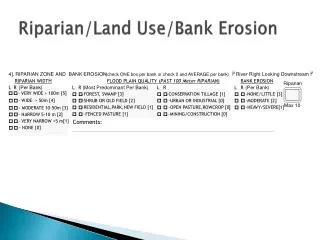
GMES riparian areas mapping Characteristics • Costsanalysiscarried out by EEA and ETC BD and scenarios proposal • Basic scenario (2,9 M EUR): full exercisecharacteristics • satellite images: based on Very High Resolution Pan-EU coverage acquired in 2011-2013 (Formosat- 2m resolution and Spot 5 - 2.5m) • River hierarchy system: Strahler level 3 (500,000km of river segments) • Extent of riparian zones: the average buffer width first estimate is 1 km using the JRC modelling and refining the delineation • Area of Interest estimated to (2)*(3) = 500,000 km2i.e. ± 10% EU territory • Overall accuracy 85% • MMU (Minimum Mapping Unit) 0.5ha • Nomenclature based on 20-25 land cover classes relevant for riparian areas (e.g. EUNIS level 2 nomenclature or combination of EUNIS level 2 and other existing nomenclatures) • Green linear elements identifiable on VHR images (e.g. rows of trees, hedgerows, dikes and dams Nextsteps • - Refiningscenario based on availableGMES WP 2013 budget (in discussion) • - Need for expert discussions (EEA, DG ENV, DG JRC, ETC/BD, MAES WG...) • - Final proposal will be presented to GMES Prog. Committee on 10th December • - EEA will draft technical specifications of the service and launch call for tenders
Proposal mapping Riparian areas (to be approved): 500,000 km (Strahler level 3) – buffer average 1km width 15-25 classes Based on multispectral VHR (2-2.5m) satellite data MMU = 0.5ha Accuracy: 85% Local component: Biodiversity: riparian zones
GMES riparian areas mapping Added-value compared to precursor activities in particular the JRC work on riparian zones at EU level • Better resolution data: VHR satellite data and GMES Preparatory action's EU-DEM and EU-HYDRO. More accurate Digital Elevation Model will improve the identification of river network and riparian zone extent • Nomenclature can be improved (Corine LC used for JRC exercise) • Identification of linear elements (green elements, rows of trees, hedgerows, dikes and dams) can also improve information on fragmentation of habitats and river fragmentation
EU-DEM v1.0 production finished EEA38 coverage 30m pixel (1 arcsec) +/- 7m height accuracy Based on SRTM, Aster GDEM, Nextmap Fully coherent with (upcoming) EU-hydro Validation needs to be done Distribution depending on GMES data policy
IMAGE 2006 NDVI REFLECTANCE WATER Hydrography • 1:100.000 scale • Extraction of water bodies from IMAGE2006 • Delineation of river lines on top of IMAGE2006 • Reference material: ECRINS, Topographic maps, Google Earth, etc • Generation of river network topology • Fully compatible and integrated with EU-DEM