Download
1 / 25
250 likes | 260 Views
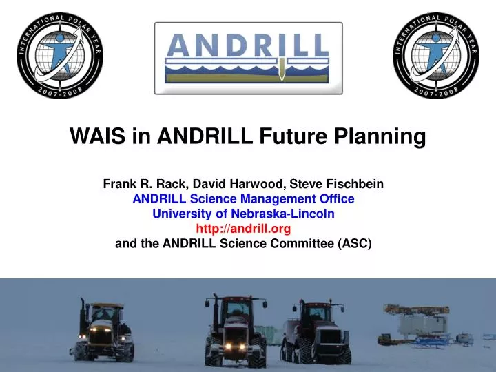
WAIS in ANDRILL Future Planning. Frank R. Rack, David Harwood, Steve Fischbein ANDRILL Science Management Office University of Nebraska-Lincoln http://andrill.org and the ANDRILL Science Committee (ASC). CH Proposal in 2008. 2006. Survey Completed in 2007. Survey Planned for 2008.

E N D
WAIS in ANDRILL Future Planning Frank R. Rack, David Harwood, Steve Fischbein ANDRILL Science Management Office University of Nebraska-Lincoln http://andrill.org and the ANDRILL Science Committee (ASC)
CH Proposal in 2008 2006 Survey Completed in 2007 Survey Planned for 2008 Future Surveys Pending 2007
Ross Ice Shelf Grounding Line Position Since Last Glacial Max. Coulman High Proposed Site Conway et al., 1999 Science v. 286
Conceptual Approach to a Ross Ice Shelf Portfolio ANDRILL Program Ross Embayment Portfolio Coulman High Project Central Ross Sea Project Eastern Ross Sea Project Prepared Proposal for Submission in June 2008 Develop Site Survey Proposal for Submission Develop Site Survey Proposal for Submission
ANTOSTRAT Isopach Map of Depth of RSU-5 Slide Provided by L. De Santis
Conceptual Approach to a Coulman High Project Coulman High Project Airborne Radar Survey Seismic Data Processing Seismic Data Acquisition HWD System Test Current Meter Mooring ROV Evaluation + Development Riser Modeling Scenarios
Drilling from a moving ice shelf Time one Time two Alex Pyne Relative motion creates bending stress in drill string
Oceanographic Moorings • Single Mooring • Multiple Moorings • Modeling of Riser • Other Potential Scientific Outcomes • Access hole through the ice shelf • ROV deployments • Benthic Ecology • Water Column Profiling • Surface Sediment Sampling • Long-term Deployment of Instruments • Southern Ocean Observing System
Bay of Whales SHALDRIL-III Proposed Drill Sites
SHALDRIL I & II Expeditions on the Nathaniel B. Palmer http://shaldril.rice.edu Slide courtesy of Julia Smith-Wellner
SHALDRIL-III - Eastern Ross Sea Proposed Sites Luyendyk, et al (NSF proposal, submitted)
SHALDRIL-III Proposed Sites Luyendyk, et al (NSF proposal, submitted) Site # Latitude Longitude Water Depth AND-02A 78.38968oS 162.61241oE 725 m AND-02B 78.01793oS 160.11799oE 694 m AND-02C 77.94141oS 159.42722oE 602 m AND-02D 77.95416oS 159.53308oE 658 m AND-02E 77.99140oS 159.77860oE 667 m AND-02F 77.60899oS 160.51352oE 569 m AND-02G 78.57109oS 163.27378oE 488 m AND-02H 77.60901oS 160.06936oE 246 m AND-02I 78.17889oS 160.97250oE 670 m