Download
1 / 31
310 likes | 448 Views
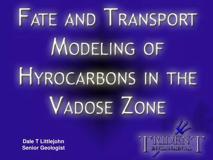
Dale T Littlejohn Senior Geologist. What is fate and transport in the vadose zone?. Surface. Hydrocarbon release from buried pipeline. Vadose Zone. Initial plume size and shape is determined by the release volume, gravity, and soil permeability. Aquifer.

E N D
What is fate and transport in the vadose zone? Surface Hydrocarbon release from buried pipeline Vadose Zone Initial plume size and shape is determined by the release volume, gravity, and soil permeability Aquifer
What is fate and transport in the vadose zone? Precipitation Surface Fresh water from precipitation comes into contact with the hydrocarbons in the soil and forms “leachate”, defined as meteoric water containing soluble substances Vadose Zone Aquifer
What is fate and transport in the vadose zone? Precipitation Surface As meteoric water moves through the hydrocarbon-impacted soil, the most soluble components are transported downward while diluting the overall plume concentration Vadose Zone Aquifer
What is fate and transport in the vadose zone? Precipitation Surface Eventually the leachate may come into contact with the underlying groundwater. Vadose Zone Groundwater impact is determined by the volume (rate) of leachate relative to the volume (rate) of available groundwater at the source area
When is it desirable to model the transport of hydrocarbons in the vadose zone? Soil impact exceeds regulatory levels and is too costly to remediate • Impacted soil too deep to excavate • Surface structures prevent excavation access • In Situ remediation not cost effective • Hydrocarbon composition has low transport potential Groundwater is not impacted or impact is unknown
When is it desirable to model the transport of hydrocarbons in the vadose zone? To determine the benefit (to the groundwater) from near surface source removal or the placement of a leach barrier
What information is required to model the transport of hydrocarbons in the vadose zone? HARD DATA Length and width of impact area Maximum hydrocarbon concentration of plume (TPH Fractions) and knowledge of the contaminant chemical parameters relative to transport including: Hydrocarbon concentration of soil below the plume • Water Solubility • Organic Carbon Partition Coefficient • Henrys Law Constant • Free Air Diffusion Coefficient Approximate groundwater depth
What information is required to model the transport of hydrocarbons in the vadose zone? SOFT DATA Recharge rate(conservative estimate) General understanding of average vadose zone soil type (below the plume) and a conservative estimate of the fate and transport parameters, including: • Bulk Density • Effective Porosity • Water Content • Fraction of Organic Content Width of source area parallel to the gradient direction Estimated (conservative) groundwater flow parameters, including: • Hydraulic Conductivity • Groundwater Gradient
What are the most important results available from the vadose zone fate and transport modeling? The VLEACH model, used in this example, provides the following output information: • Concentration (or mass) of hydrocarbons in the GAS phase for each selected depth and time unit • Concentration (or mass) of hydrocarbons in the SOIL (sorbed) for each selected depth and time unit • Concentration (or mass) of hydrocarbons in the LEACHATE for each selected depth and time unit • Total MASS in the vadose zone for each selected depth and time unit The VLEACH model does not predict current or future groundwater concentrations
Example Site Precipitation = 10.5 in/yr Source Area = 2,000 ft2 3-Foot Sample: TPH = 23,510 mg/kg 11-Foot Sample: TPH = 20,060 mg/kg Benzene = 0.212 mg/kg (also TPH Fractions) 15-Foot Sample: TPH = 6,270 mg/kg Benzene = 0.044 mg/kg Soil parameters: Lithology = Sand Bulk Density = 1.7 g/cm3 Eff. Porosity = 0.38 Water Content = 0.12 Fraction Organic = 0.01 Distance = 50 feet Groundwater parameters: Depth = 45 ft k = 33 ft/day i = 0.005 ft/ft
What would the soil concentration profile look like if the top 12 feet were removed? Limited source area removal
Comparing “leachate” concentration to “groundwater” concentration Leachate concentration(not measurable and not regulated) must be predicted by modeling GroundwaterConcentration = Soil and groundwater concentrations(measurable and regulated) LeachateVolumeGroundwaterVolume x LeachateConcentration
Comparing “leachate” concentration to “groundwater” concentration Dilution Equation A - is the source area (ft2)R - is the source recharge (ft/yr)k – is the hydraulic conductivity (ft/day)i – is the groundwater gradient (ft/ft)Θ – is the effective porosity (unitless)Taq – is the mixing zone thickness (ft)W – is the width of the source area parallel to the gradient (ft)
Thank You, for your attention This presentation can be found at: www.trident-environmental.com