Download
1 / 5
50 likes | 63 Views
Geographic Information Science and Technology (GIST) includes a versatile range of tools and techniques for capturing, analyzing and leveraging spatial information. With each passing year, advances in Geographic Information Systems (GIS) reveal exciting possibilities for urban planning, retail, space exploration, and more. In 2020, experts make the most of these opportunities by staying up to date as new ways of optimizing and employing GIS technology emerge.

E N D
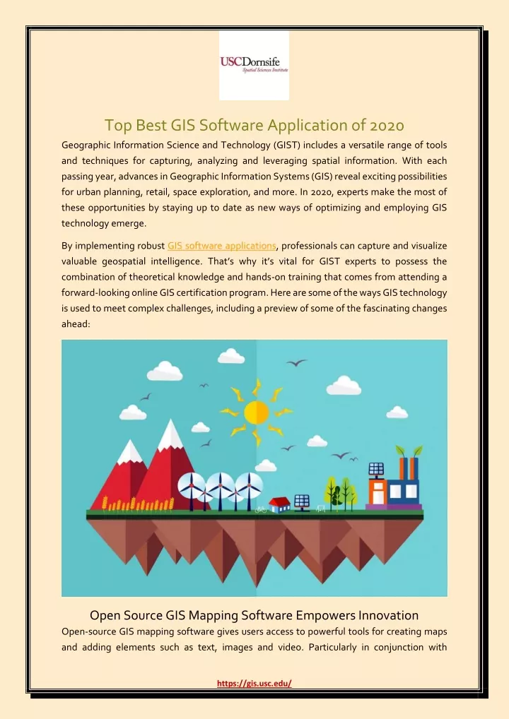
Top Best GIS Software Application of 2020 Geographic Information Science and Technology (GIST) includes a versatile range of tools and techniques for capturing, analyzing and leveraging spatial information. With each passing year, advances in Geographic Information Systems (GIS) reveal exciting possibilities for urban planning, retail, space exploration, and more. In 2020, experts make the most of these opportunities by staying up to date as new ways of optimizing and employing GIS technology emerge. By implementing robust GIS software applications, professionals can capture and visualize valuable geospatial intelligence. That’s why it’s vital for GIST experts to possess the combination of theoretical knowledge and hands-on training that comes from attending a forward-looking online GIS certification program. Here are some of the ways GIS technology is used to meet complex challenges, including a preview of some of the fascinating changes ahead: Open Source GIS Mapping Software Empowers Innovation Open-source GIS mapping software gives users access to powerful tools for creating maps and adding elements such as text, images and video. Particularly in conjunction with https://gis.usc.edu/
initiatives such as OpenStreetMap or the Open Geospatial Data Project, these applications offer endless possibilities for collecting and visualizing spatial information and customizing maps. Users create projects to: Highlight the demographics of a region Trace the availability of natural resources over time Chart crop growth and capture any evidence of disease Demonstrate how changes in environmental conditions affect the preservation of a historical site The flexibility to assemble maps for diverse purposes has a growing impact in daily life, influencing progress in smart city infrastructure. With extensive locational data, government agencies and private businesses can deliver services more efficiently and strategize sustainable development. Customized maps may be applied to augmented reality projects that provide workers with helpful details tied to a specific location. Meanwhile, open-source mapping has a huge role in the burgeoning world of navigation systems and automated vehicles. When setting routes, these systems account for a widening range of factors, such as traffic conditions updated in real time and individual preferences. GIS is essential to improving performance in self-driving cars and guiding drivers to their destinations as quickly, comfortably and safely as possible. Fresh Insights from Geospatial Analytics The rise of big data and analytics has been one of the most significant shifts for businesses over recent years. Across industries, organizations are constantly seeking chances to turn an ever-increasing volume of data into a competitive edge, and many have found that GIST adds value to these efforts. Geospatial analytics applies geographic information to enable wiser decision-making and agile problem solving. With GIS data, analytics specialists can create visualizations, identify meaningful trends and make predictions, generating reports that flesh out valuable context for strategy. Decision- makers gain increased visibility from synthesizing spatial information with findings from enterprise resource planning (ERP) systems. They can clearly see how crucial data about their organizations is attached to specific times and places. Geospatial analytics clarifies complicated relationships and points out ways to streamline processes. Businesses and government agencies can: Make more informed choices about building or expanding facilities and stores https://gis.usc.edu/
Track when devices and equipment with Internet of Things (IoT) sensors enter or leave a work area Create apps for retail customers that enrich their in-store experiences (e.g. retail beacon technology) Speed up logistics and reduce costs by running various routing scenarios Find patterns of criminal activity within a region Minimize risks from hazardous location-based events like powerful storms Bringing Together GIS and Drones Organizations and consumers employ unmanned aerial vehicles (UAVs) for an ever- expanding list of applications, from entertainment to agriculture, often relying on navigation supported by GIS. For instance, experiments with making deliveries by drone have unlocked possibilities for getting food and other products to customers with unprecedented speed. Other companies are deploying the aircraft to collect information from IoT sensors that monitor industrial sites, hazardous travel conditions, volatile weather patterns or the wellbeing of crops and send real-time updates. Meanwhile, drones also improve the information that is available for mapping and manipulation with GIS tools. A great deal of spatial data comes from satellite imagery and readings taken by manned aircraft, but drones are a cost-effective means of gathering extensive details on a smaller scale. UAVs thus have a major role to play in making geographic information more readily available for open-source mapping and customizable to fit the priorities of businesses, governments, independent researchers and hobbyists. https://gis.usc.edu/
What’s Next for GIST? For professionals with expertise in spatial technology and problem solving, the future looks rich in possibilities. In the years ahead, GIST will likely become an even more prevalent aspect of our daily lives, thanks in large part to the widespread adoption of smart technology and the IoT. As sensors capable of sharing spatial-temporal information appear everywhere from industrial equipment to coffeemakers, the volume of spatial data will grow exponentially. Meanwhile, consumers and businesses will demand greater functionality and integration from spatial software applications. Ride sharing services and navigation apps have shown the public the power of apps that work with GPS and mapping platforms to give them real-time updates. These types of features could have growing uses for enterprises and governments as well when harnessed for purposes such as tracking assets and growing the reach of marketing campaigns. The proliferation of spatial data and market for software means organizations will have a mounting need for professionals familiar with every layer of the GIS Technology stack. Data specialists will need to optimize their processes for collecting, cleaning and formatting spatial information. GIS software developers must also understand the full scope of the data resources they have available for creating spatial-powered apps to put that information to work. https://gis.usc.edu/
Join Us: Join Us: Facebook Facebook | | Twitter Twitter | | LinkedIn LinkedIn Phone: (877) 650 Phone: (877) 650- -9054 9054 Email: Email: gis@usc.edu gis@usc.edu https://gis.usc.edu/