Download
1 / 15
160 likes | 383 Views
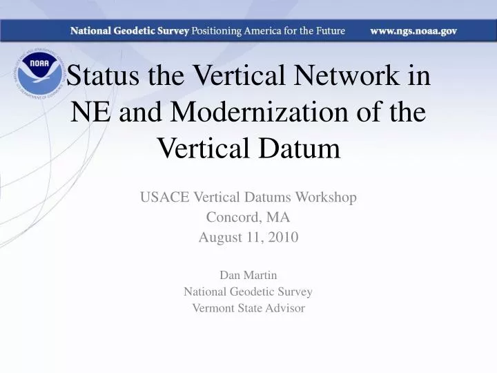
Status the Vertical Network in NE and Modernization of the Vertical Datum. USACE Vertical Datums Workshop Concord, MA August 11, 2010 Dan Martin National Geodetic Survey Vermont State Advisor. NGSIDB BM Status (1 st , 2 nd order). NE Vertical Control. We need to set more marks. ???.

E N D
Status the Vertical Network in NE and Modernization of the Vertical Datum USACE Vertical Datums Workshop Concord, MA August 11, 2010 Dan Martin National Geodetic Survey Vermont State Advisor
Why isn’t NAVD 88 good enough anymore? • NAVD 88 suffers from use of bench marks that: • Are almost never re-checked for movement • Disappear by the thousands every year • Are not funded for replacement • Are not necessarily in convenient places • Don’t exist in most of Alaska • Weren’t adopted in Canada • Were determined by leveling from a single point, allowing cross-country error build up Federal Geospatial Summit 11-12 MAY 2010 Silver Spring, MD
Why isn’t NAVD 88 good enough anymore? • NAVD 88 suffers from: • A zero height surface that: • Has been proven to be ~50 cm biased from the latest, best geoid models (GRACE satellite) • Has been proven to be ~ 1 meter tilted across CONUS (again, based on the independently computed geoid from the GRACE satellite) Federal Geospatial Summit 11-12 MAY 2010 Silver Spring, MD
Possible ways to fix NAVD 88 • Short term fixes: • Provide fast methods of expanding NAVD 88 in areas where it is needed • Long term fixes: • Re-level some / all of NAVD 88 • Replace NAVD 88 bench marks Federal Geospatial Summit 11-12 MAY 2010 Silver Spring, MD
Possible ways to fix NAVD 88 • Short term fix: Height Modernization GPS surveys • Have provided a fast way to disseminate NAVD 88 bench mark heights to new marks through the use GPS and a constrained least squares adjustment • NOAA TM NOS NGS 58 and 59 guidelines • Keeps NAVD 88 useful and accessible, but does not address the majority of problems of NAVD 88 itself Federal Geospatial Summit 11-12 MAY 2010 Silver Spring, MD
Possible ways to fix NAVD 88 • Long term fix: Re-level some/all of NAVD 88 • Re-leveling NAVD 88 would cost between $200 Million and $2 Billion • This wouldn’t fix all of the problems associated with the use of bench marks though 2010 Feb 24 - Briefing for P. Sandifer
Possible ways to fix NAVD 88 • Long term fix: Replace NAVD 88 • Find a method of defining a vertical datum that seeks to fix all of the known issues with NAVD 88 • Best option: Define the datum as a given geoid model and realize it through GNSS technology • GRAV-D Federal Geospatial Summit 11-12 MAY 2010 Silver Spring, MD
Possible ways to fix NAVD 88 • Long term fix: Replace NAVD 88 (continued) • GRAV-D Trade-offs: Datum is only realizable to 2 cm at best at any given point (GNSS error + geoid error) • However, this is an improvement over NAVD 88 realization error • The datum could then be disseminated locally through very precise geodetic leveling Federal Geospatial Summit 11-12 MAY 2010 Silver Spring, MD
How will I access the new vertical datum? Example 1: Flood insurance survey 1954: Leveling Performed to bench mark House House 1954-1991: Subsidence BM BM 1991: Original 1954 leveling data is used to compute the NAVD 88 height which is then published for this BM H88(published) H88(true) NAVD 88 zero height surface Obviously the true height relative to the NAVD 88 zero surface is not the published NAVD 88 height Federal Geospatial Summit 11-12 MAY 2010 Silver Spring, MD
How will I access the new vertical datum? Using Existing Techniques: Find bench mark (if you can) Get published NAVD 88 height Level off of bench mark No account for subsidence! Example 1: Flood insurance survey House BM House BM H88(published) H88(true) NAVD 88 zero height surface Federal Geospatial Summit 11-12 MAY 2010 Silver Spring, MD
How will I access the new vertical datum? Using Future Techniques: Find bench mark if you wish, or set a new one of your choosing Use GNSS/OPUS to get an orthometric height in the new datum Level off of bench mark as needed Subsidence is accounted for by CORS and a geoid that are monitored constantly! Example 1: Flood insurance survey House BM House BM H(2018?) from GNSS/geoid NAVD 2018(?) zero height surface = geoid Federal Geospatial Summit 11-12 MAY 2010 Silver Spring, MD
Additional Information The NGS 10 year plan (2008-2018) http://www.ngs.noaa.gov/INFO/NGS10yearplan.pdf The GRAV-D Project http://www.ngs.noaa.gov/GRAV-D Socio-Economic Benefits of CORS and GRAV-D http://www.ngs.noaa.gov/PUBS_LIB/Socio-EconomicBenefitsofCORSandGRAV-D.pdf Federal Geospatial Summit 11-12 MAY 2010 Silver Spring, MD