Download
1 / 15
150 likes | 157 Views
Aquarius Sea Surface Salinity satellite mission validation using near real-time, in-situ oceanographic data. International Partnership Mission. Service Platform and SAC-D Science Instruments Mission Operations & Ground System. Aquarius Salinity Microwave Instrument Launch Vehicle.

E N D
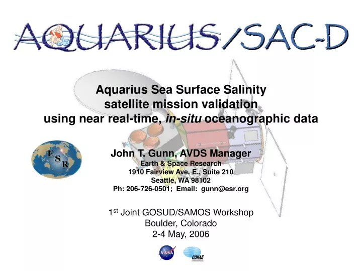
Aquarius Sea Surface Salinity satellite mission validation using near real-time, in-situ oceanographic data
International Partnership Mission Service Platform and SAC-D Science Instruments Mission Operations & Ground System Aquarius Salinity Microwave Instrument Launch Vehicle
Single Day Orbit Swath Pattern The orbit precesses to yield complete coverage in 7 days
Global Coverage in 7 Days 4 Repeat Cycles per Month 3 beams 390 km wide swath. 76 x 94 km 96 x 156 km 84 x 120 km Salinity Data Mission Design and Sampling Strategy Sun-synchronous exact repeat orbit 6pm ascending node Altitude 657 km Beams point toward the night side to avoid sun glint In Orbit Check out Surface Validation Aquarius Ground System Launch March 2009
TheAquarius Validation Data Segment (AVDS) will collect and process surface measurements for the Aquarius data processing AVDS Liaison with observers Daily data acquisition Quality control/editing Uniform data format Deliver surface calibration data to Aquarius and SMOS Data Processing Centers
AVDS In-situ Data Sources Validation Data Sampling Parameters 1Funding for additional sensors and 50 additional buoys planned for FY07 2Funding for 50 buoys with near surface S sensors in FY07 ramping up to 300 in FY09
AVDS ESR ADPS GSFC GTSPP In-situ data Via ftp daily Validation data USERS
AVDS-ADPS Interaction AVDS provides: • Position (latitude, longitude) • Time • Acceptable deltas for position and time • Format is ASCII • Other identifying information (TBD) ADPS returns: All Aquarius data collected within position and time windows • Format is ASCII • Include brightness Temp (TB), derived salinity, position, time of Level 2 data (along track) • Other identifying information (TBD)
User Community Products AVDS will provide the following to the surface salinity user community: • Tabular collection of in-situ and Aquarius SSS data for matched pairs • Description of statistical selection process by in-situ data type • Access to match-up criteria, in-situ data and edited, tabular coincident measurements via data servers, as shown below. AVDS In-situ data base Position, time Window for matchup Edited, tabulated Coincident meas.
Exchange formats between AVDS and ADPS will use an established system developed for the SeaWifs system • The existing format structure will require only slight modifications to adapt to the Aquarius validation requirements
Surface Current Data validation ESR Satellite derived surface currents with validation using GDP buoys www.oscar.noaa.gov www.esr.org
Desired Validation Database Attributes • Searchable in time and space • Reasonable level of Quality Control • Format with comfortable ease-of-use • Source Traceability and documentation (metadata) • Internet access to data in near real-time (< 1 week delay) Two examples follow; GOSUD thermosalinograph underway data and ARGO profiling buoys data
GOSUD Data Distribution 2006 • Data is stored by year and ship • 2006 data as of end of April 2006 • Distribution somewhat constant in time (~5-6K point per week) • Some outliers in position • Cruise tracks repeated (limited mid-Pacific coverage)
ARGO Data Distribution • Data is stored in daily files • Two consecutive days in April • Number of data points drops but distribution in time is similar • Duplicate points exist for April 24th data (can affect statistics)
Conclusions • Access and ease of use for global data bases are significantly improved over the last few years • Aquarius will require access to validation in near real-time mode. As such, initial QC is very important • Idiosyncrasies of various validation data sets will require careful evaluation in their application to satellite fields • Delayed mode data (high QC level) will be important for re-analysis efforts but are probably delayed too long for use in validating initial data distribution