Download
1 / 10
100 likes | 222 Views
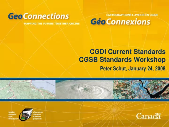
CGDI Current Standards CGSB Standards Workshop. Peter Schut, January 24, 2008. Agenda. Who sets CGDI standards? What are the CGDI standards?. CGDI Architecture Advisory Committee. Responsible for maintaining the architecture Newly formed in GeoConnections II First meeting last March 2007

E N D
CGDI Current StandardsCGSB Standards Workshop Peter Schut, January 24, 2008
Agenda • Who sets CGDI standards? • What are the CGDI standards?
CGDI Architecture Advisory Committee • Responsible for maintaining the architecture • Newly formed in GeoConnections II • First meeting last March 2007 • replaces CAWG (2001-2005) • Consists of representatives nominated by IACG and CCOG
Architecture Components • Documentation • Target Vision • Architecture Description • Developers’ Guide • Access Control • Redundancy and Reliability • Framework Data • Endorsed Standards • Reusable components • Coordinating Systems
Levels of Endorsement • Endorsed • Must be used in order to comply with CGDI • Recommended • Should be used • Discussion Paper • Should be considered • Other ideas • Informative
Endorsed CGDI specifications – data discovery • Geodata Discovery Service (z39.50) • Metadata for Geodata (FGDC GEO profile)
Endorsed CGDI specifications – viewing data • Web Map Service (WMS) • Web Map Context (WMC) • Styled Layer Descriptor (SLD)
Endorsed CGDI specifications – accessing data • Web Feature Service (WFS) • Filter Encoding (FE) • Geographic Markup Language (GML) • Web Coverage Service (WCS) • GeoRSS • Geolinked Data Access Service (GDAS) • Tile Mapping Service (TMS)
Endorsed CGDI specifications – manipulating data • Web Processing Service (WPS)
For more information: • http://geoconnections.org/ en/communities/ developers/standards