Download
1 / 30
300 likes | 399 Views
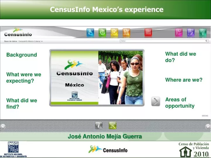
CensusInfo Mexico’s experience. What did we do? Where are we? Areas of opportunity. Background What were we expecting? What did we find?. José Antonio Mejía Guerra. CensusInfo Mexico’s experience. Background. Presetation of CensusInfo in Chile at the beginning of 2011. Background.

E N D
CensusInfo Mexico’s experience • What did we do? • Where are we? • Areas of opportunity • Background • What were we expecting? • What did we find? José Antonio Mejía Guerra
Background • Presetation of CensusInfo in Chile at the beginning of 2011
Background • ITER: Main results by locality • 191 housing and population indicators for over 190,000 populated localities in 2010. • Available for the 1990, 2000 and 2010 censuses and the 1995 and 2005 inter-census enumerations.
Background • ITER: Also available at the basic geoestatistical area (AGEB) and block level for urban areas. • Only for 90 indicators.
Background • SCINCE: Census Data Inquiry System. It allows the association of 274 indicators to their geographical location.
Background • By: • Locality, • AGEB, • State, • Municipality, • Metropolitan area, and • Urban block.
Background Available since 1990 on CD. 2010 is the first time it is available online. The user can create thematic maps based on the selected indicators, and the use of multivariate stratification.
Background Available since 1990 on CD. 2010 is the first time it is available online.
Background • SCINCE: Census Data Inquiry System. It allows the association of 274 indicators to their geographical location.
Background • National Dwelling Inventory: Population and housing indicators at the block level for urban areas. • 33 indictors for 1.37 million blocks in 4,525 urban localities.
Background The UN founded a CensusInfo training course at INEGI in July 2011 (Aguascalientes). INEGI downloaded manuals and the software. Before the course INEGI had a version of CensusInfo with some basic indicators, and the manuals translated to Spanish.
What were we expecting? • To present data for the 2010 Population and Housing Census using a standardized international platform. • To take advantage of international experiences and best practices in data dissemination. • To give users an easy to use web based tool.
What were we expecting? • To provide a tool that did not require knowing a lot about the census structure. • To offer a tool that would allow to make maps, and would facilitate comparison between various censuses.
What did we find? • The UN established a basic set of indicators as a recommmendation for the content of the CensusInfo system.
What did we find? • The set is very basic and in some cases it does not satisfy the needs of users in countries in which some of those developmental issues have already being conquered.
What did we find? • CensusInfo limits the capacity of indicators that can be included in the system to 255. Whether it is for a single census or for multiple events. • The 2010 Census in Mexico allows for the generation of 568 basic indicators.
What did we do? Modified the code of CensusInfo to adapt it to INEGI’s institutional image (logo, colors and pictures). Translated all menus and instructions to Spanish.
What did we do? Took the 86 indicators from the publication “Sociodemographic Panorama of Mexico” and inserted them into CensusInfo.
What did we do? Tried including the 568 indicators from the 2010 Population and Housing Census basic tabulations… and CensusInfo could not handle them.
What did we do? Finally a version of CensusInfo for the 2010 Census with 176 indicators was developed.
Where are we? INEGI has Census system that include 176 indicators with metadata and data for the national level, States (32) and Municipalities (2,456). It inclides data for 1990, 1995, 2000, 2005 and 2010.
Where are we? However, it resides only in INEGI’s Intranet page, since it did not pass a stress test (it could only support 15 simultaneous users). Requests for technical support from DevInfo remain unanswered.
Areas of opportunity • Promote the interaction with international metadata standars such as:
Areas of opportunity The Data Documentation Initiative (DDI):
Areas of opportunity The Statistical Data and Metadata eXchange (SDMX):
Areas of opportunity The ISO 19115 Geographic Metadata:
Areas of opportunity • Migrate to a more robust database manager. • Promote the participation of experts from national statistical offices (NSO) in the development of the tool. • Standardize the way CensusInfor does data dissemination. • Improve channels of communication between NSOs and DevInfo, both for technical and for substantive issues.
CensusInfo Mexico’s experience • What did we do? • Where are we? • Areas of opportunity • Background • What were we expecting? • What did we find? José Antonio Mejía Guerra