Download
1 / 10
100 likes | 199 Views
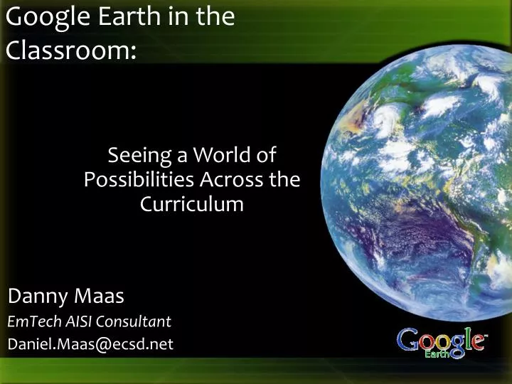
Danny Maas EmTech AISI Consultant Daniel.Maas@ecsd.net. Google Earth in the Classroom:. Seeing a World of Possibilities Across the Curriculum. Rationale for Using Google Earth. Universal Design for Learning Presenting information and content in different ways (the "what" of learning)

E N D
Danny Maas EmTech AISI Consultant Daniel.Maas@ecsd.net Google Earth in the Classroom: Seeing a World of Possibilities Across the Curriculum
Rationale for Using Google Earth • Universal Design for Learning • Presenting information and content in different ways (the "what" of learning) • Differentiating the ways that students can express what they know (the "how" of learning) • Stimulating interest and motivation for learning (the "why" of learning) • http://www.cast.org/research/faq/index.html#q1
Rationale for Using Google Earth • Skill & Attitude Development • Visual literacy • Global awareness • Geographic thinking • Inquiry • http://www.cast.org/research/faq/index.html#q1
Math • Estimate and measure the distance, area, and perimeter of real locations • What is the area of our school grounds? • What is the perimeter of our school? • How far is it from Edmonton to Saskatoon? • What directions would you give to someone traveling from our school to the nearest grocery store?
Language Arts • Google Lit Trips – http://www.googlelittrips.org • Have students create a virtual autobiography (where they were born, where they live, where they go to school, any extracurricular activity locations – turn it into a tour) • Use a location of somewhere in the world as a creative writing starter
Science • Access weather overlays to gather environmental data • Access National Geographic information layer • Use the Date and Time (sunlight) tool to show where sunlight is shining at any place any time and explain time zones and seasons (good for math as well)
Science • Use the Sky view to investigate and view our solar system, constellations, and stars http://earth.google.com/userguide/v4/ug_sky.html • Visit environmental locations related to a topic of study • E.g. Native Forest Council http://www.forestcouncil.org/googleearth/ • E.g. Ducks Unlimited 70th Anniversary Project Tour http://maps.ducks.ca/google.html
Social Studies • Travel to and view locations being studied in class • View Google Earth Global Awareness layer
Other Uses • Visit a field trip location on Google Earth before you travel • Download pre-made Google Earth tours and information layers • http://realworldmath.org/Real_World_Math/RealWorldMath.org.html • http://www.juicygeography.co.uk/googleearth.htm • http://serc.carleton.edu/sp/library/google_earth/activities.html • http://www.gelessons.com/lessons/ • http://www.gearthblog.com/
http://maasd.wordpress.com/google-earth • Daniel.Maas@ecsd.net • BookEmtech@ecsd.net