Download
1 / 19
190 likes | 347 Views
Geospatial Database on Protected Areas of Baikal Region. Ekaterina Tsybikova Transparent World, Russia SCGIS Conference, Monterey, 2007. Age - 25-30 mln Depth – 1637 m 65% endemics. Lake Baikal. 1996: UNESCO Natural World Heritage site. Problem.

E N D
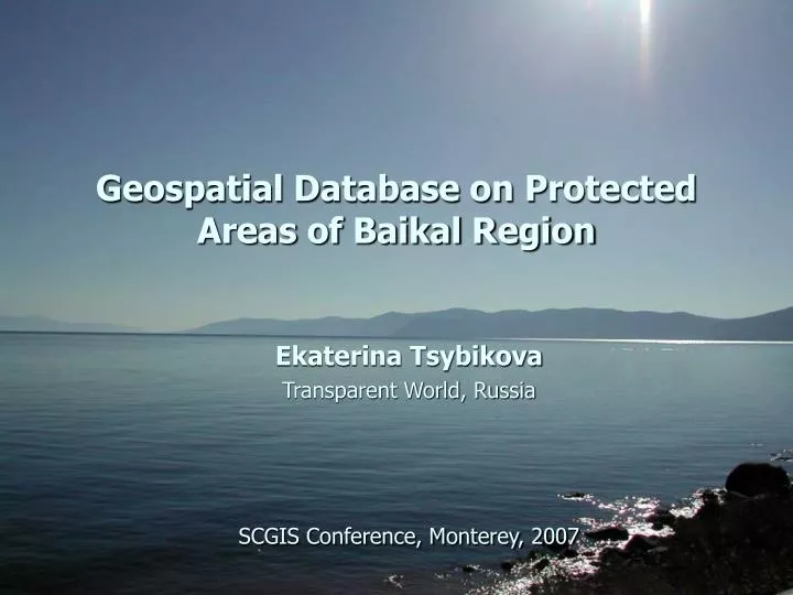
Geospatial Database on Protected Areas of Baikal Region Ekaterina Tsybikova Transparent World, Russia SCGIS Conference, Monterey, 2007
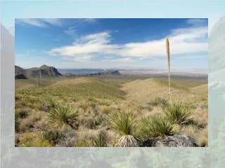
Age - 25-30 mln Depth – 1637 m 65% endemics Lake Baikal 1996: UNESCO Natural World Heritage site
Problem Lack of adequate accessible spatial and descriptive information about protected areas of Russia, results in poor decision making and low public awareness
Baikal Region: • International protected areas: • - UNESCO Natural World Heritage site • - 2 biosphere reserves • 1Ramsar site, 1 Ramsar Shadow list site • Federal-level protected areas: • 5 strict nature reserves (zapovedniks) • 3 national parks • 4 wildlife refuges (zakazniks) • Regional- and local-level protected areas: • 19 wildlife refuges (zakazniks) • a. 200 nature monuments and other objects
History: Atlas of Russia’s Intact Forest Landscapes (http://www.forest.ru/eng/publications/intact/)
Data sources • primary legislation • (governmental acts, bills and other papers) • - protected areas official documents • additional information(spatial and attributive)
Mapping. Strict Nature Reserves, National Parks and Federal-Level Wildlife Refuges of Russia (2005)
Wetlands: - one of the key types of planet ecosystems - serve a variety of hydrological and biochemical functions that are valuable to people Baikal Region Wetlands: Ramsar site: Selenga River Delta Wetland of Ramsar Shadow List: Angara River Delta
Web-based Information system • Contents: • - news • history of nature protection • publications • conferences proceedings • descriptions of PA • descriptions of Ramsar sites http://oopt.info
Description of each protected area: • - general information • history • geographic features • flora and fauna • research activities
Application - create protected area GIS - presentation and education materials - include in decision support system to help deal with conflicts occurring on protected area
Application: Guides to national parks and zapovedniks of Russia
Application: Land-use decision-making The Kovikta gas pipeline: Socio-ecological mapping
Data now available and planned - biosphere reserves zoning (core, buffer, transition zone, biosphere polygon) - zapovedniks’ and national parks’ buffers - Ramsar sites - Birdlife International sites planned to complete: - nature monuments - territories of traditional land use - important ethno-cultural objects
Conclusion GIS is an effective tool for public awareness and decision support, but great efforts should be done to make data really work
Ekaterina Tsybikova Transparent World, Russia e-mail: tsybikova@biodiversity.ru Thank you! and Society for Conservation GIS ESRI Conservation Program Transparent World International socio-ecological Union Biodiversity Conservation Center World Resource Institute