Download
1 / 6
60 likes | 190 Views
Spring 2004 DGC Planning Team Meeting (Week 4). Planning team: Jason Yosinski jason@its Will Coulter wkc5@its Ryan Cable ryanc@its Will Heltsley will@caltech Jason Raycroft raycroft@its Sue Ann Hong sueh@its Haomiao Huang haomiao@its Jack Lee jackl@its Advisor:

E N D
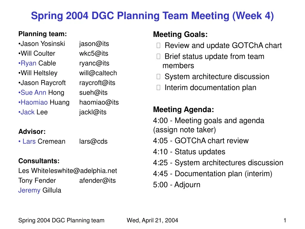
Spring 2004 DGC Planning Team Meeting (Week 4) • Planning team: • Jason Yosinski jason@its • Will Coulter wkc5@its • Ryan Cable ryanc@its • Will Heltsley will@caltech • Jason Raycroft raycroft@its • Sue Ann Hong sueh@its • Haomiao Huang haomiao@its • Jack Lee jackl@its • Advisor: • Lars Cremean lars@cds • Consultants: • Les White leswhite@adelphia.net • Tony Fender afender@its • Jeremy Gillula • Meeting Goals: • Review and update GOTChA chart • Brief status update from team members • System architecture discussion • Interim documentation plan • Meeting Agenda: • 4:00 - Meeting goals and agenda (assign note taker) • 4:05 - GOTChA chart review • 4:10 - Status updates • 4:25 - System architectures discussion • 4:45 - Documentation plan (interim) • 5:00 - Adjourn Wed, April 21, 2004
Goals (DGC II) 40 mph waypoint following in (TBD) environment Objectives (by end of term) Research, outline, and document several path planning architectures Define reusable code structure for future development Pursue development and documentation of existing road-following algorithms Collect information and sensory data from course route Technical Challenges Current path (arc) evaluation code, coupled with reaction delay, is too slow Required obstacle detection range depends on reaction time and speed Approach Division of efforts: Optimal path generation (H, WH) Path planning architectures (SAH) DEM Cost map D* (JY, WC) Road following (KD, JG) Static map game plan (RC, AF, LW) Roughness/clutter estimation, for mode management (JR) Principal component analysis (H, JR) Spring 2004 DGC Planning team GOTChA chart Wed, April 21, 2004
Spring 2004 DGC Planning team status chart • Status (division of efforts): • Optimal path generation (H, WH): Have NTG, example programs • Path planning architectures (SAH): Lit. search, see pictures! • Road following (KD, JG): Reading (papers and code), getting tented votes sent to test • Static map game plan (RC, AF, LW): Accuracy and registration of existing maps an issue, looking into TerraServer, ALS, … • DEM Cost map D* (JL, JY, WC): Learning about D* (JL) • Principal component analysis (H, JR): Talking with Lyle, looks OK, federal funding? • Roughness/clutter estimation, for mode management (JR): . One pair Firely cameras calibrated Image capture code written, not integrated One pair Firely cameras calibrated Image capture code written, not integrated Owner HELP! Needs work Interface Working Wed, April 21, 2004
1 2 3 Wk 1 Wk 2 Wk 3 Wk 4 Wk 5 Wk 6 Wk 7 Wk 8 Wk 9 Wk 10 LBC: 1/19 tests - final code structure sufficiently far apart and numerous waypoints Planning Team Timeline 4 3/29 4/5 4/12 4/19 4/26 5/3 5/10 5/17 5/24 5/31 Team Sandie Fender ES demo Project meetings: Mon, 7-8 pm “Event” Team meetings: Wed., 4pm-5pm Wed, April 21, 2004
Planning System Architectures Monocular (color or B/W) cameras Corridor Following StereoPlanner Waypoint Following StereoPlanner IR cameras Arbiter 3D (“scanning”) LADARMapper Road Following (image-based) 2D Ladar 2D Ladar Dynamic Feasibility Evaluator Stereovision cameras “vdrive” “vstate” Airborne Laser Scans Topographic Maps Static Map Satellite imagery Vector maps Aerial photography DEMs Wed, April 21, 2004
Individual actions: Concrete system architecture outlines (SAH, All in phpBB) Reading (papers, code), searches on individual parts (ALL) Next week agenda items: Status update Division of efforts: Optimal path generation (H, WH) Path planning architectures (SAH) Road following (KD, JG) Static map game plan (RC, AF, LW) DEM Cost map D* (JL, JY, WC) Principal component analysis (H, JR) Roughness/clutter estimation, for mode management (JR) Action Items Wed, April 21, 2004