Download
1 / 13
130 likes | 204 Views
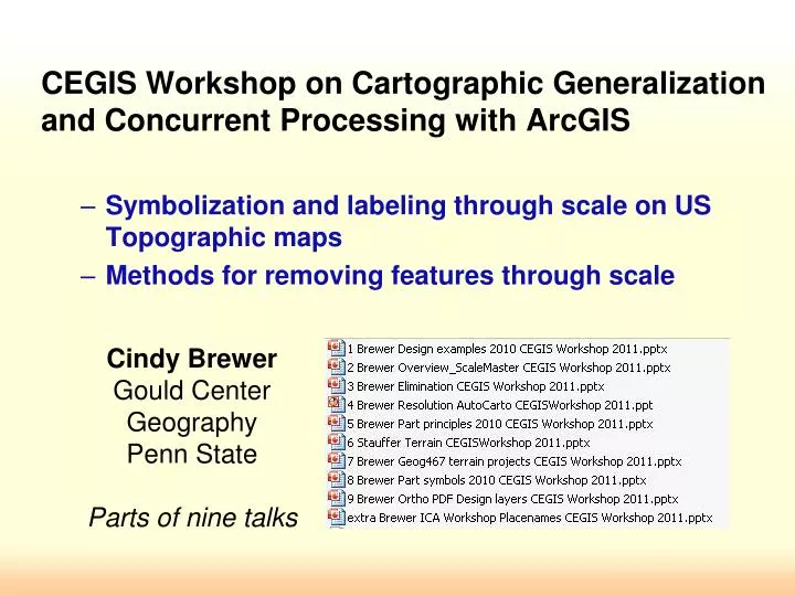
Cindy Brewer Gould Center Geography Penn State Parts of nine talks. CEGIS Workshop on Cartographic Generalization and Concurrent Processing with ArcGIS Symbolization and labeling through scale on US Topographic maps Methods for removing features through scale.

E N D
Cindy BrewerGould CenterGeographyPenn StateParts of nine talks CEGIS Workshop on Cartographic Generalization and Concurrent Processing with ArcGIS Symbolization and labeling through scale on US Topographic maps Methods for removing features through scale
Collaborators:Barbara Buttenfield, Larry Stanislawski, Charlie FryePSU Grads — Paulo Raposo, Jim Thatcher, Chelsea Hanchett, MamataAkella, Jess AcostaPSU Undergrads — Andy Stauffer, Steve Butzler, Kevin Sparks, Jay McGilloway, Doug Minnigh, Steve Sylvia, HalinaSundy, and many students in advanced classes CEGIS Workshop on Cartographic Generalization and Concurrent Processing with ArcGIS Symbolization and labeling through scale on US Topographic maps Methods for removing features through scale
Multiscale topographic map design • Draft design for mapping from TheNational Map data • Suited to multiple resolutions • Onscreen 91 ppi (desktop) • 120 ppi (laptop) • Print 400 ppi • Suited to multiple formats • PDF • ArcMap • Cached tile (web) • Print • Supports hydrographic generalization evaluation
Missouri – 24K map data from The National Map,all dynamic content ArcMapto PDF to screen capture
Missouri, 50K map with 50K LoD Missouri50K map with 50K LoD hydro
ATL 24K ArcMap capture
CO 35K ArcMap capture
TX 50K ArcMap capture
UT 80K ArcMap capture
FL-GA 100K ArcMap capture
WV 100K ArcMap capture
ATL 250K ArcMap capture
WV 1M ArcMap capture UT 500K ArcMap capture To>