Download
1 / 14
140 likes | 289 Views
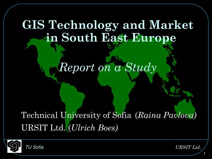
GIS Technology and Market in South East Europe Report on a Study Technical University of Sofia ( Raina Pavlova) URSIT Ltd. ( Ulrich Boes). Countries of SEE . Albania Bosnia and Herzegovina Bulgaria Croatia FYR Macedonia FR Yugoslavia Greece Romania Turkey. Economic Indicators.

E N D
GIS Technology and Marketin South East Europe Report on a Study Technical University of Sofia(Raina Pavlova) URSIT Ltd. (Ulrich Boes)
Countries of SEE • Albania • Bosnia and Herzegovina • Bulgaria • Croatia • FYR Macedonia • FR Yugoslavia • Greece • Romania • Turkey
Challenges in the Region • Strong collaboration and trade • Reconstruction, land restitution • Strong donor activity • Democracy and market economy
Prevailing Problems • Ethnic conflicts • Language • Poverty • Corruption • Telecommunications (few web sites) • Brain drain • Land ownership
Purpose of Study • Importance of GI for: • Economic activity • Government • GI is the basis for: • Collaboration between countries in SEE • Private investment • Land restitution • Need for standardization and for harmonization of work flows
Aims of the Study • Continuation of a study on Bulgaria • Document data, actors, projects, problems • Definition of differences and commonalities between the countries • Definition of future activities for the region
Methodology • Desk research • Questionnaires • Interviews • Analysis • Documentation
Geographic Data available • Satellite data (Eurimage, etc.) • Remote Sensing data • Cadastre data • Corine Land cover Low digitization
Actors • Ministries, National Statistical Institutes, Military service • Few companies (Geo Strategies, Gisdata, …) • World Bank, Stability Pact
Projects • GI is generally used in projects, little self standing research • Cadastre projects on national level (BG, RO), and on local level • Agriculture • Environment, Forestry • Partnership (for example for GIS training) • Project Kosovo: GIS and War Crimes Evidence
Outlook • Continuation and conclusion of study • Standardization: Introduction of ISO or OGC standards • Cooperation with donors and governments
Thank - you for your attention ! Raina Pavlova PIIS Department Technical University of Sofia Sofia, Bulgaria + 359 / 2 / 965 3453 + 359/ 2 / 68 32 15 rsp@vmei.acad.bg Ulrich Boes URSIT Ltd.22, Vishneva Street1164 SofiaBulgariaTel./Fax: +359-2-665660u.boes@computer.org