Download
1 / 19
190 likes | 291 Views
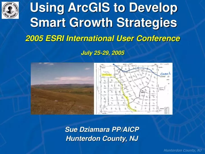
Using ArcGIS to Develop Smart Growth Strategies. 2005 ESRI International User Conference July 25-29, 2005. Sue Dziamara PP/AICP Hunterdon County, NJ. BuildOut Simulator. Hunterdon County… Primarily rural farmland, but experiencing growth pressure.

E N D
Using ArcGIS to Develop Smart Growth Strategies 2005 ESRI International User Conference July 25-29, 2005 Sue Dziamara PP/AICP Hunterdon County, NJ
BuildOut Simulator Hunterdon County… • Primarily rural farmland, but experiencing growth pressure. • Goal: maintain their rural / small town heritage while accommodating reasonable growth
BuildOut Simulator 1993 Build Out Request… • As a planning authority for these small municipalities, the Planning Dept. was asked to prepare a build-out for a single township. • Process took over a month…..
. . . The Department needed a better, more efficient way to provide this necessary service. . . .
GIS-based, countywide parcel data layer • Incorporated local zoning information • More automated process
BuildOut Simulator How it Came to Be… • 2001, Received a Smart Growth grant from the New Jersey Office of Community Affairs to generate a development plan. • Develop build-out scenarios for areas of likely development. • The County contracted G/I/S to develop the Build-Out Simulator (BOS), an extension of ArcGIS.
BuildOut Simulator Hunterdon’s Requirements… • Needed to show actual parcels created. • Intended for the Planning Professional • Must be easily integrated into your organization’s existing computer technology.
BOS Deliverables … • Provide a visual snap shot • Show realistic build-out impacts on a parcel-based level • Estimate the amount of remaining open space, number of homes or square feet of commercial space to be built • Allow the Planning Professional to create alternative development scenarios
The BOS as a Planning Resource Allow Municipalities to: • Evaluate Zoning Regulations • Consider Environment Constraints • Preservation Goals
The BOS as a Planning Resource Allowing Hunterdon County to: • Provide 20-year build-out projections to municipalities • Support 2020 Population Projections
Return on Investment • Smart Growth strategies can be realized • Communities respond to visual queues • An effective communication tool • Identify a common vision and achieve a common goal
Lessons Learned … • Requires defining and input of zoning variables • While some processes are automated, it still requires initial start up time and training • Commercial build-out results were not as anticipated
Successes • Automates complex procedures • Allows for alternative development scenarios • Useful in demonstrating residential build-out • Effective means of verifying population projections
Thank You, Questions? Contact Information:Sue Dziamara, PP/AICPHunterdon County Planning Departmentwww.co.hunterdon.nj.usGeographic Information Services, Inc.www.gis-services.com