Download
1 / 18
180 likes | 198 Views
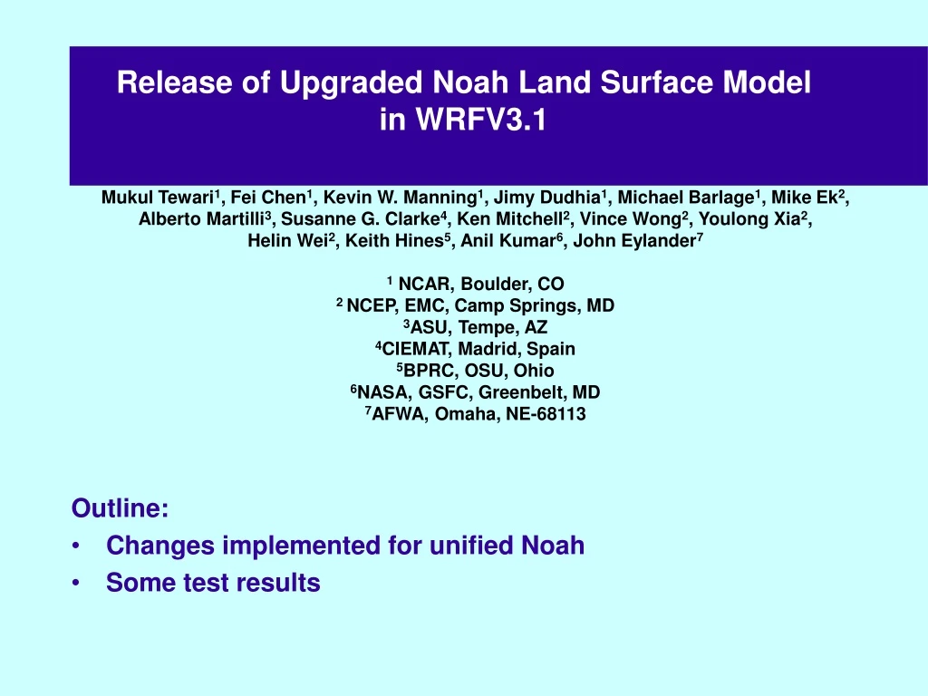
Release of Upgraded Noah Land Surface Model in WRFV3.1. Mukul Tewari 1 , Fei Chen 1 , Kevin W. Manning 1 , Jimy Dudhia 1 , Michael Barlage 1 , Mike Ek 2 , Alberto Martilli 3 , Susanne G. Clarke 4 , Ken Mitchell 2 , Vince Wong 2 , Youlong Xia 2 ,

E N D
Release of Upgraded Noah Land Surface Model in WRFV3.1 Mukul Tewari1, Fei Chen1, Kevin W. Manning1, Jimy Dudhia1, Michael Barlage1, Mike Ek2, Alberto Martilli3, Susanne G. Clarke4, Ken Mitchell2, Vince Wong2, Youlong Xia2, Helin Wei2, Keith Hines5, Anil Kumar6, John Eylander7 1 NCAR, Boulder, CO 2 NCEP, EMC, Camp Springs, MD 3ASU, Tempe, AZ 4CIEMAT, Madrid, Spain 5BPRC, OSU, Ohio 6NASA, GSFC, Greenbelt, MD 7AFWA, Omaha, NE-68113 • Outline: • Changes implemented for unified Noah • Some test results
MODIS IGBP vegetation categories As an option to use instead of USGS categories New dataset is available with the rest of the WRF geographical datasets New VEGPARM.TBL, LANDUSE.TBL has entries for both USGS and MODIS Hard-coded specific category numbers in Noah have been replaced with flags read from WRF input metadata E.g., ISURBAN is the urban category index
Parameter scaling in time and Option to use LAI2d map Background emissivity, background z0, background albedo, and LAI can now change between minimum and maximum values depending on the Green Vegetation Fraction. New VEGPARM Table has minimum and maximum Emissivity, Z0, Albedo, and LAI Option of use 2d map of LAI LAI field goes into the wrflowbdy file Namelist option rdlai2d to use that new map
Landuse map from USGS and MODIS USGS Modis urban
Experimental Design: Conducted several experiments for a typical summertime convection episode over the Southern Great Plains that occurred during the IHOP_2002 (28-31 May 2002) field experiment. WRF model was run with two nested domains at 9 and 3 km resolution and results are presented with 3 km resolution domain. • EXPT-1: WRF+USGS LANDUSE+CONST_LAI=4 • EXPT-2: WRF+USGS LANDUSE+TABLE_LAI • EXPT-3: WRF+MODIS LANDUSE+CONST_LAI=4 • EXPT-4: WRF+MODIS LANDUSE+TABLE_LAI • EXPT-5: WRF+MODIS LANDUSE+MODIS_GVF+CONSTANT_LAI • EXPT-6: WRF+MODIS LANDUSE+MODIS_GVF+MODIS_LAI • EXPT-7: WRF+MODIS +MODIS_GVF+MODIS_LAI/GVF (Scaled LAI)
Coupled WRF Results Using Modis Vs USGS Landuse (2m-Temperature) Modis + LAI=4 USGS+ LAI=4 USGS + Table LAI Modis + tableLAI Modis + Modis LAI +Modis GVF Modis + Constant LAI +Modis GVF Modis + Scaled LAI +Modis GVF
Snow albedo depends on snow age Albedo treatment following Livneh Subroutine ALCALC takes snow age into account This is an albedo decay scheme which reflects snow aging. In this scheme, the modified max snow albedo is calculated based on the time since last snow. This maxsnoalb is used for the calculation of albedo, this is based on snow fraction. 72 hrs simulation starting with 20 Nov 2003, 12Z 3km horizontal resolution (525X490 grid points) 3 Runs with Control (CTL) Reads the 2-d field of the max snow albedo Control + Max snow albedo from the table Reads the max snow albedo (high res) from the VEGPARM.TBL Livneh’s formulation + Max snow albedo from table
TSK (Black), ALBEDO (Green) and SWE (Blue) CTL+SNOALB_FROM_TBL CTL At lat: 40.62 Lon: -111.09 LIVNEH
TSK valid at 21 Nov 2003, 18Z(30 hr FCST) CTL CTL+SNOALB_TBL LIVNEH MODIS MODIS Time
Release of Multi-layer UCM (BEP) • New Urban namelist.input option • sf_urban_physics = 0 (Bulk) = 1 (Single layer UCM) = 2 (Multi-layer UCM)* New • Kusaka and Kimura (2004); J.Appl.Meteor., 43, p1899-1910. • Martilli, A., Clappier, A., Rotach, M.W.:2002, Boundary-Layer Meteorolgy 104: 261-304. • New URBPARM.TBL
Multi-layer UCM (BEP) • Considers variation in building height and building density of model grid cell. • Surface Energy balance for roof, wall and road is solved at various levels within the urban canopy. • Allows for first prognostic model level to be near street level. Near surface variables are determined prognostically.
========================================================================================================================================================================================================== namelist.input sf_urban_physics = 1 or sf_urban_physics = 2 module_physics_init ------> CASE (LSMSCHEME) | sf_urban_physics = 1 |------> urban_param_init (urban_param.TBL) sf_urban_physics = 2 |------> urban_var_init (FRC_URB2D,UTYPE_URB2D,T) | module_first_step_rk_part1.F | ------> module_surface_driver.F | | |------> module_sf_noahdrv.F | sf_urban_physics=1 |------> module_sf_urban.F | ------> read_param ------> urban(<--- Noah UCM) | | | sf_urban_physics=2 |----------> module_sf_bep.F ------> USE module_sf_urban | ------> init_para (*_TBL fields from urban_param_init) | ------> init_var (Tinit from urban_param.TBL) module_first_step_rk_part1.F | ------> module_bl_driver.F | | idiff=0 |<------- (vertical diffusion in PBL scheme) ===================================================================================================== namelist.input sf_urban_physics = 1 or sf_urban_physics = 2 module_physics_init ------> CASE (LSMSCHEME) | sf_urban_physics = 1 |------> urban_param_init (urban_param.TBL) sf_urban_physics = 2 |------> urban_var_init (FRC_URB2D,UTYPE_URB2D,T) | module_first_step_rk_part1.F | ------> module_surface_driver.F | | |------> module_sf_noahdrv.F | sf_urban_physics=1 |------> module_sf_urban.F | ------> read_param ------> urban(<--- Noah UCM) | | | sf_urban_physics=2 |----------> module_sf_bep.F ------> USE module_sf_urban | ------> init_para (*_TBL fields from urban_param_init) | ------> init_var (Tinit from urban_param.TBL) module_first_step_rk_part1.F | ------> module_bl_driver.F | | idiff=0 |<------- (vertical diffusion in PBL scheme) Multi-Layer UCM in WRF sf_urban_physics = 1 (Noah UCM) sf_urban_physics = 2 (Multi-layer UCM) num_urban_layers = number street directions* vertical levels*wall layers namelist.input module_physics_init ------> CASE (LSMSCHEME) & sf_urban_physics = 1 urban_param_init: urban_param.TBL urban_var_init: fraction cover urban, urban class, Twall,Troad,Troof module_surface_driver.F module_sf_noahdrv.F sf_urban_physics =1 Module_sf_urban.F sf_urban_physics =2 Module_sf_bep.F
Test Results Over Houston Domain 24 hr run starting 25 Aug 2000, 12Z Landuse: Modis Domain Size 101X101: domain1 175X157: domain2 220X187: domain3 217X199: domain4 Wharton: Lat: 29.947N Lon: 95.543W
Surface Energy Budget computation New array NOAHRES [(in W/m2) is residual of Noah surface energy budget] is added to Registry • NOAHRES = (SOLNET + LWDN) – SHEAT + SSOIL & • & – ETA – ( EMISSI * STBOLT * (T1**4)) – FLX1 & • & – FLX2 – FLX3 • Where • Solnet = Net downward solar • LWDN = Downward Longwave • SHEAT = Sensible heat flux • SSOIL = Soil Heat Flux • ETA = Latent Heat Flux • T1 = Skin Temp • FLX1= Precip-snow sfc (W m-2) • FLX2= Freezing rain latent heat flux (W m-2) • FLX3= Phase-change heat flux from snowmelt (W m-2)
Miscellaneous Changes Reduction of downward deposition over snow as a function of near-surface bulk Richardson Number Latent heat (Ls vs. Lv) weighted by snow-cover fraction for subroutine PENMAN 2-timestep iteration for heavy precipitation Earlier code has been corrected Initialization of FLX3 for shallow-snow cases Glacial ice treatment Modifications to better treat surface properties over permanent land ice
Summary • Upgraded NoahV3.1 is released with WRFV3.1. • The recent upgrades seems to produce reasonable results. • Initial results of ML-UCM vs Single Layer UCM are close. • Modis Landuse shows more recent development and may be a better alternative to use.