Download
1 / 17
170 likes | 314 Views
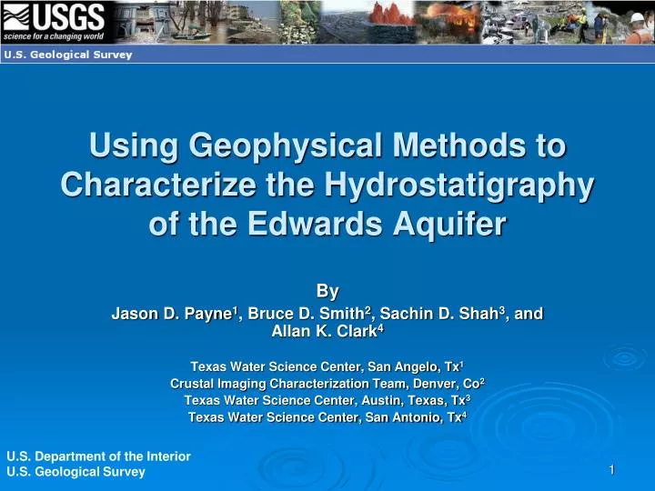
Using Geophysical Methods to Characterize the Hydrostatigraphy of the Edwards Aquifer. By Jason D. Payne 1 , Bruce D. Smith 2 , Sachin D. Shah 3 , and Allan K. Clark 4 Texas Water Science Center, San Angelo, Tx 1 Crustal Imaging Characterization Team, Denver, Co 2

E N D
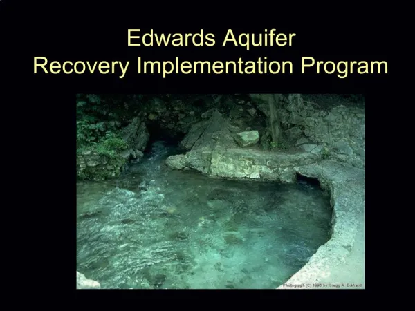
Using Geophysical Methods to Characterize the Hydrostatigraphy of the Edwards Aquifer By Jason D. Payne1, Bruce D. Smith2, Sachin D. Shah3, and Allan K. Clark4 Texas Water Science Center, San Angelo, Tx1 Crustal Imaging Characterization Team, Denver, Co2 Texas Water Science Center, Austin, Texas, Tx3 Texas Water Science Center, San Antonio, Tx4 U.S. Department of the Interior U.S. Geological Survey
Geophysical Data Collection in the Edwards Aquifer Well Logging, Greg Stanton, WRD HEM data collection, GD TDEM data collection, Brian Imig, WRD GEM-2 data collection, Bruce Smith, GD GPR data collection, Jim Stefanov, Jason Payne, Brian Imig, Ryan Thompkins, WRD Magnetometer, Jason Payne, WRD, Dave Smith, GD
Edwards Aquifer Geophysical Publications • Geologic Discipline • Seco Creek HEM http://pubs.er.usgs.gov/usgspubs/ofr/ofr03226 • Bexar County HEM http://pubs.er.usgs.gov/usgspubs/ofr/ofr20051158 • Medina And Uvalde County Aeromagnetic Survey http://pubs.er.usgs.gov/usgspubs/ofr/ofr0249 • Water Resources Discipline • Travis and Hays Counties TDEM surveyhttp://pubs.er.usgs.gov/usgspubs/sir/sir20075244 • WRD and GD Combined • Bexar County Cibolo Canyon survey http://pubs.er.usgs.gov/usgspubs/sir/sir20085181
Geophysics in the Edwards Aquifer • Geologic Discipline • Program Research • Regional Studies • Entire Edwards Aquifer • Mostly federal funding • Water Resources Discipline • Site Research • Focused Study Areas • Problem specific • Funded by local cooperators
Areas of Specialization • Geologic Discipline • Interpretation • Data Analysis • Data Collection • Geologic Models • Water Resources Discipline • Data Collection • Data Analysis • Interpretation • Hydrologic Models
Common Science Objectives • Utilize site information in regional programs (Edwards – Trinity Aquifers) • Develop integrated hydrologic and geologic models • Improve hydrostratigraphic understanding of geologic and hydrologic mapping methods • Contribute to scientific reports and investigations
HEM Surveys – GD Seco Creek HEM survey Bexar County HEM survey
Methods used for integrated study Geophysical data collection Geologic Mapping Revised Geologic Map Geophysical analysis
Direct-Current Resistivity zone of intense fracturing Dolomitic member
Common Science Objectives • Utilize site information in regional programs (Edwards – Trinity Aquifers) • Develop integrated hydrologic and geologic models • Develop hydrostratigraphic concepts to improve geologic and hydrologic mapping and modeling • Contribute to joint scientific reports and data bases (DAPLE GOOGLE EARTH)
Resources • Shah, S.D., Smith, B.D., Clark, A.K., and Payne, J.D., 2008, An integrated hydrogeologic and geophysical investigation to characterize the hydrostratigraphy of the Edwards aquifer in an area of northeastern Bexar County, Texas: U.S. Geological Survey Scientific Investigations Report 2008–5181 http://pubs.usgs.gov/ • This and other Texas Water Science Center Publications can be downloaded at the following URL: http://tx.usgs.gov/publications/