Download
1 / 36
360 likes | 585 Views
NOAA Environmental Sensitivity Index (ESI) Data, Query, and Tools in ERMA® (Environmental Response Management Application). George Graettinger & Amy Merten NOAA/OR&R Spatial Data Branch ESI Workshop Mobile, AL May 1 st – 3 rd , 2012. What is ERMA?.

E N D
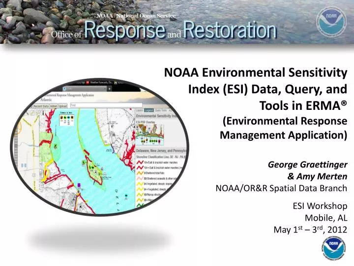
NOAA Environmental Sensitivity Index (ESI) Data, Query, and Tools in ERMA®(Environmental Response Management Application) George Graettinger & Amy Merten NOAA/OR&R Spatial Data Branch ESI Workshop Mobile, AL May 1st – 3rd, 2012
What is ERMA? ERMA is an online mapping tool for visualizing environmental information relevant to oil spills, climate change, and natural disasters.
What is ERMA? • Web-basedmappingtool • Provides centralized access to information • Increases communication, coordination, and efficiency • Preparefor, respondto, assess impacts from hazardous incidents or conditions • Analyzeandvisualizeenvironmentalinformation relevanttoallhazards
Key ERMA Functionality • Access ERMA via any Web browser. No special software needed. • Tiered system security that protects data. • Standardized user interface; simplifying data uploading. • Build customized maps using layers. • Create and view customized sets of layers quickly with bookmarked views. • Data sharing/download.
Standard ERMA Data Sets • Base Mapping • Google aerial, terrain, roads • Nautical charts • Incident Information • Trajectories • Real time resource tracking • Shoreline oiling • Sampling data • Weather & Buoys • Hurricane/Storms • Remote-sensing imagery • Local habitat and species • Seafood safety • ResourcesatRisk • NOAAESIdatalayers • Documents & Photo Links • ESI and GRP .pdfs • Attached to layers • Field photos
How ERMA Can Help You • Operations Section • Incident Location • Vessel Locations • Dispersant Zones • In-Situ Burns • Divisions & Segments • Booming Strategies • Environmental Unit • Threatened & Endangered Species • SCAT Data • Sensitive Sites • Wildlife Observations • Overflight Observations • Situation Unit • Mirror SitStat Board • Trajectories • Weather • Current Operations • Unified Command • Up-To-Date Picture of All Operations • JIC • Up-To-Date Picture of All Operations • Potential to show publically released data
ERMA uses ESI Data to Support Response & NRDA • Shoreline assessment for SCAT and cleanup activities • Sensitive area identification • Threatened and Endangered species identification and status • Resources at Risk reporting
ERMA Functional Access Requirements • Strong Internet based access • Web based data services (WMS/Arc Rest) • Data, PDF maps and API Access • Stand-alone functionality • Offline access to data, maps and query • Support remote and/or disaster related access limitations • Requires local access for data, external services are not usable
Output to User Download/Upload Source Feature Server Tools ERMA Architecture ESI & IPaC Query AIS Ship Search Open Layers Web Mapping Service (Feature) • External GIS Data • ENCs/ RNCs • Real Time Weather Obs • Buoys • NAIS/ AFF/ AMOC Secure Server Authentication Data Layer Management Access Privileges • Response datasets from SFTP • Trajectories • Satellite Interpretations for oil • SCAT Results • Overflight Planed & Obs • Booms plans/derived from imagery • Protected Resource Impact • Field sampling (subsurface, analytical chemistry, etc.) • Platform observations MapServer • Base Public datasets • ESI • Landuse • Bathymetry • Regional Monitoring • Habitat Classifications • Restoration • Bioresource Base data PostGres/ PostGIS Data Base (Full Backup routinely)
ESI data and ERMA • ERMA uses a dedicated Postgres database and tool set, the ESI API • ESI API is used to feed ESI data query to all of the Regional ERMA sites • ESI API allows for querying of ESI relate environment (biology, shoreline, econ.) • ESI data do not need to be drawn to be queried in ERMA
ESI Data In ERMA • All available ESI Atlas layers are available in each Regional ERMA site • Each ESI Atlas metadata catalog available through ERMA • ESI Atlas Index layers contains link to full ESI PDF map (front and back)
ERMA Query Tools • Select Query Tool Tab • ERMA query tools for NOAA ESI, USFWS IPaC, and free-form queries
ERMA Query: Polygon Tool • Create Polygon for Area of Interest • Double-click to complete
ERMA Query: Polygon Tool • Polygon for Area of Interest will identify all available ESI data in area
ESI Data Selection Query • Only intersected data will be available for selection
ESI Data Selection Query • Select habitats and species of interest • Specify date range for query • Percent intersection
Run ESI Tool • Run your query • Patience may be required!
ERMA ESI Resources at Risk Report • Selected habitat & species summary • Shoreline classification • Detailed information on species life histories • PDF, excel file output
ERMA ESI Resources at Risk Report: Summary • Intersected habitat & species summary • Threatened or Endangered species status flagged in Red • Shoreline classification in total miles/type • PDF output
ERMA ESI Resources at Risk Report: Detail • Percent area of selected habitat & species • Detailed information on source data • PDF, excel file output
ERMA ESI Resources at Risk Report: Connections • Scientific names • Detailed information on species life histories • External resource links
ERMA ESI: Summary • ERMA ESI data and tools provide simple access and use of ESI data for Response and NRDA support • ESI API provides functionality to quickly generate Resources at Risk summaries for specific areas of interest • ERMA integrates ESI data and tools providing an improved COP for real-time decision making
Next Steps • Incorporate outcome of Workshop • Expand use of data services for ESI in ERMA • Continue coordination with ESI Manager and SPO on development issues • One-click geographic species/habitat listing • Refine Report output: summary & detail • Add map thumbnail to report output • Expand PDF link support in Report output
Questions? Please visit the ERMA Public Gulf of Mexico site http://gomex.erma.noaa.gov/erma.html NOAA – Office of Response & Restoration – Spatial Data Branch • George Graettinger • George.Graettinger@noaa.gov • Amy Merten • Amy.merten@noaa.gov • Michele Jacobi • Michele.jacobi@noaa.gov • Allison Bailey • Allison.bailey@noaa.gov
Acknowledgments • NOAA: • Michele Jacobi • George Graettinger • Amy Merten • Mark Miller • Ben Shorr • Kari Sheets • Kim Jenkins • Genwest Systems: • Jill Bodnar • Heather Lilly • JB Huyett • Zach Winters-Staszak • Hayley Pickus Funding Sources: Coastal Response Research Center, US EPA Region II, U.S. Coast Guard, NOAA’s Office of Response and Restoration and Coastal Storms Program • I.M. Systems Group • Matt Dorsey • Laura Johnson • Jay Coady • Development Team: • University of New Hampshire: • Phillip Collins • Robert St. Lawrence • Kurt Schwehr • Allison Bailey, SoundGIS • Aaron Racicot, Z-Pulley • Chander Ganesan, OTG