Download
1 / 28
290 likes | 484 Views
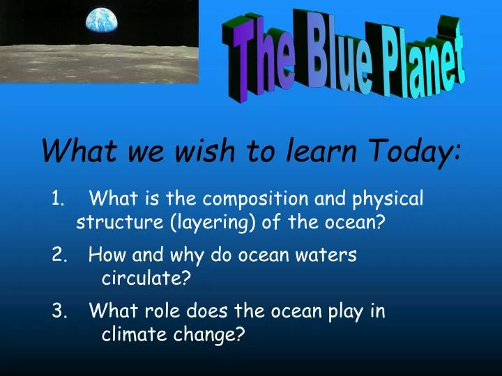
What we wish to learn Today:. The Blue Planet. What is the composition and physical structure (layering) of the ocean? How and why do ocean waters circulate? What role does the ocean play in climate change?. Causes of Climate change. A. Tectonic. B. Orbital.

E N D
What we wish to learn Today: The Blue Planet • What is the composition and physical structure (layering) of the ocean? • How and why do ocean waters circulate? • What role does the ocean play in climate change?
Causes of Climate change A. Tectonic B. Orbital C. ?? D. ??
Composition of the Oceans Density– weight of the water. Density increases with more salt and decreases with warmer temperatures Fresh water has ~0.02% dissolved salt (density = 1 g/cm3) Sea water has ~3.5% dissolved salt (density = 1.024-1.028 g/cm3) Ocean Salt composition Salinity Number of grams of dissolved salt in a kilogram of sea water. Ranges from 33–38 g/kg in open oceans
Ocean Structure - The ocean is “stratified” into layers • Stratification is based on water density – light water floats on top of denser, heavier water and creates a stable structure • The surface layer is separated from the bottom layer by a transition zone • The transition is called a pycnocline (for density) • or a • thermocline (temperature) or a • halocline (for salt)
Atlantic Ocean Temperature Temperature oC The tropics have higher heat input from the sun, and temperatures there are warmer than at the poles www.ewoce.org
Atlantic Ocean Salinity Salinity (ppt) (pss 78) The tropics have more heat to drive evaporation, concentrating the ocean salts. The Gulf Stream moves this salt northward. The poles also have greater freshwater input from ice caps and glaciers. www.ewoce.org
2. Ocean Circulation • Ultimately driven by solar energy • Distribution of solar energy drives global winds • Surface currents • Affect surface water above the pycnocline (10-15% of ocean water) • Driven by major wind belts of the world • Deep currents • Affect deep water below the pycnocline (up to 90% of ocean water) • Driven by density differences (not by winds) • Larger and slower than surface currents
The Gulf Stream is a major surface current Red is warmer water
Ocean Surface Currents Surface currents are driven by wind and follow the circulation pattern of the atmosphere
Coriolis “Force” The Coriolis effect deflects moving fluids (atmosphere and ocean) to the right in the Northern Hemisphere, and to the left in the Southern Hemisphere Not a true “force”, but an apparent movement or deflection to account for being on a rotating body instead of fixed in space
The Eckman “Spiral” Surface currents are deflected due to the Coriolis effect, and flow at ~45° to the surface wind direction Currents “spiral” to the right at depth, so the net “Eckman Transport” of water will be 90o to the right of the wind (N. Hemisphere) Along coastal areas, Ekman transport can cause upwelling and downwelling of water
Coastal Upwelling Water movement offshore (due to Coriolis effect and Eckman transport) results in upwelling as cold water rises to replace surface water Northern Hemisphere
Downwelling Ekman transport either moves surface water away from shore, producing upwelling, or moves water toward the shore, producing downwelling West Coast Southern Hemisphere West Coast Southern Hemisphere Upwelling
Illustration of Coastal Upwelling off California. Blue andgreen are cooler waters upwelling close to shore, while red represents warmer waters further offshore July 1992 AVHRR Ch 4
El Niño-Southern Oscillation (ENSO) • El Niño = warm surface current in equatorial eastern Pacific that occurs every 3-8 yrs around Christmas time • Southern Oscillation = change in atmospheric pressure over Pacific Ocean accompanying El Niño • La Niña = opposite of El Niño, cool phase with enhanced upwelling
El-Nino Southern Oscillation (ENSO) Upwelling of cool, nutrient-rich water supports productive fishery Normal El Nino Pacific Ocean NOAA/PMEL/TAO Warm surface water blocks upwelling, fishery collapses
Illustration of the very strong 1997-1998 El Niño See also: http://www.vets.ucar.edu/vg/http://www.pmel.noaa.gov/tao/jsdisplay
El Niño impacts and recurrence Impacts on global climate can be large - $8-10 Billion for the 1982-83 event Typical interval for El Niños is 3-8 years, which is too short to explain longer-term climate fluctuations Temperature and Precipitation
Warm saline water moves north by the Gulf Stream Water cools in Arctic Sea ice forms and increases salinity Water becomes dense and sinks Deep Water Formation and Currents Sinking water produces a deep current that travels worldwide. Deep-water also formed near Antarctica. This movement is called “Thermohaline Circulation” (heat and salt)
Global “Conveyer Belt” circulation Flow in conveyor is ~ 30 times larger than all river flow
3. Ocean Circulation and Climate • Heat re-distribution (keeps Europe warm) • Monsoons, Cyclones, Hurricanes, El Nino • Upwelling can create coastal deserts on land • Great thermal buffer (high heat capacity) • Oceans absorb ~1/3 of anthropogenic CO2
Can ocean circulation explain abrupt climate shifts? Ice core data Melting of the Ice Cap may have stopped or reduced the Conveyor Belt Younger Dryas 18O (o/oo) Sea-surface Temp C Time (thousands of years B.P.)
Rapid Cooling Normal Ice age Rapid Warming Modes of Atlantic Thermohaline Circulation Abrupt climate change due to switches between 3 modes The large Earth in the center shows the cold climate state prevailing during most of the Normal Ice Age The bottom shows an advance of the Conveyor Belt into the Nordic Seas, resulting in a warm anomaly and Rapid Warming The upper globe shows climate when the Conveyor Belt collapses, resulting in Rapid Cooling
Modeled changes in surface air temperature caused by a shutdown of the North Atlantic Deep Water formation are large!
Melting of Greenland Ice-sheet Water Freshening in the North Atlantic Ocean is increasing due to climate warming Salinity is decreasing (ocean is freshening) If the water gets too fresh, deep water can’t form (the surface freshwater can’t sink, no matter how cold it gets)
Model projections of changes in ocean circulation cause disruptions of the carbon cycle in a warmer world • 50% slowdown in N. Atlantic circulation • 20-30% reduction in oceanic CO2 uptake Sarmiento, 1998
Take Home Message:Remember, Rome wasn’t built in a day, It just burned down in one…
Summary: • Solar heat inputs create surface winds, which in turn drive the surface ocean currents. • Differences in water density allow deep-water to sink near the poles, which establishes a 3-dimensional thermohaline current that encircles the globe (the Conveyor Belt). • Ocean circulation strongly controls climate on Earth through heat transport, upwelling, El Niño, etc. • Weakening of the deep-water formation and Conveyor Belt circulation probably affected paleoclimate over the last 100,000 years. • Abrupt, rapid climate changes can be strong and can be caused by a breakdown of the atmosphere-ocean interactions that control climate.