Download
1 / 18
180 likes | 293 Views
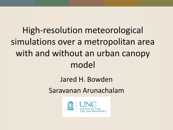
High-resolution meteorological simulations over a metropolitan area with and without an urban canopy model. Jared H. Bowden Saravanan Arunachalam. Motivation. This work is in support of testing different meteorological modeling approaches for

E N D
High-resolution meteorological simulations over a metropolitan area with and without an urban canopy model Jared H. Bowden SaravananArunachalam
Motivation • This work is in support of testing different meteorological modeling approaches for “ Enhanced Approach to Model Air Quality Impacts of Aircraft Operations in and around an Airport for Surface Movement Optimization Research” SaravananArunachalam • Computational resources now favor potential operational use of higher resolution simulations (both meteorology and air quality) • Should meteorological modelers generating meteorological fields for urban air quality studies adjust their “retrospective” modeling techniques for urban air quality? • Is there value in having higher horizontal resolution using these “retrospective” techniques? • Does having a more sophisticated treatment of urban surface, morphological structures, and vegetation content in the meteorological models improve or provide large sensitivities in the model output? • Without advancements to the treatment of urban surfaces, “retrospective” meteorological approaches will need to be modified for urban air quality modeling.
Urban Modeling in WRF • BULK scheme that defines a roughness length and thermal parameters to represent the effect of urban areas • Single layer Urban Canopy Model (SLUC) recognizes three different urban surfaces (walls, roofs, and roads) with possibility to add diurnal profile of anthropogenic heat • Building Effect Parameterization (BEP) recognizes direct interactions between urban surfaces and the PBL including how buildings vertically distribute sources and sinks of heat, moisture, and momentum. Includes the possibility to add anthropogenic heat. • BEP+Building Energy Mode (BEM) recognizes heat generated by equipment and occupants within buildings and natural ventilation. • Fluxes are coupled via urban fraction (fractional area occupied by impervious surface) in NOAH Land Surface Model only
NUDAPT • Use National Urban Database and Access portal Tool (NUDAPT; Ching et al. 2009) includes building statistics computed from airborne Lidar data and information by the National Geospatial-Inteligence Agency for 44 metropolitan areas. • Used to specify various urban canopy parameters within WRF
Experimental Design WRF • WRFv3.5 • “retrospective” – two general setups considering changes to LSM and PBL schemes • WRF-BEP with NUDAPT • 12-4-1km nest for Dallas-Fort Worth • Simulations for August 7-13,2011 and February 5-12, 2012. • Initial and lateral boundary conditions provided by North American Model (NAM) The size of 4-km and 1-km domains are small to test for operational purposes
“Retrospective” Meteorological Modeling for Air Quality • US EPA (Gilliam et al. 2010) • Pleim-Xiu LSM – requires soil moisture and temperature nudging ; spin-up period required to allow indirect soil nudging algorithms to adjust to soil moisture and temperature • For consistency with air quality model (CMAQ) use Asymmetric Convective Model v2 (ACM2) PBL scheme • Additional approach – to be consistent with urban model • Noah LSM with MYJ PBL scheme • Both use • NLCD 2006; 36 model levels; 36 Analysis nudging winds and temperature (above PBL) for 12-km only; objective reanalysis using OBGRID; KF cumulus scheme (12-km only); RRTMG SW/LW; Morrison double moment microphysics scheme
WRF-BEP-NUDAPT • Uses USGS with NLCD 2006 (3 urban classes) • 51 Model Levels Green – low residential Red – high residential Black – Industry/Commercial Approx. lowest 1.5 km there are 15 additional sigma levels for WRF-BEP-NUDAPT simulation.
Avg. Daily Max. 2-m Temp.August 2011 Different Scale 1-km
Avg. Daily Max. 10-m WSFebruary 2012 1-km MAE 1.1 m/s MAE 2.5 m/s MAE 1.0 m/s
Avg. Daily Max. PBL HeightAugust 2011 Each panel plot is on a different scale
Avg. Daily Max. PBL HeightFebruary 2012 Each panel plot is on a different scale
Summary - Preliminary • By simply providing more accurate LULC data, we find that “retrospective” approaches may potentially add value with higher resolution and may be worth the additional cost. • Traditional “retrospective” approaches performance varies significantly by season with higher resolution. In this test case, WRF-NOAH errors were typically smaller during February while WRF-PX during August. In general, both cases revealed a warm and wet bias (not shown) for both seasons. • WRF-NUDAPT provided smallest error for most fields (including 2-m mixing ratio and wind direction not discussed) but underestimated the wind speed compared to traditional techniques. • WRF-PX shows little PBL height deviations across the urban areas compared to WRF-NOAH and WRF-NUDAPT • Retrospective modeling techniques do not indicate as large of changes with driving domain relative to WRF-NUDAPT. • Need to further explore urban canopy model using NUDAPT parameters for AQ modeling. • NUDAPT data is broken into different sections within one domain. What is the impact of this for a single model domain? • NUDAPT data available for WRF doesn’t included gridded Anthropogenic Heat Sources
Acknoledgements • NASA NNH10ZEA001N-CTD2 NextGenConcepts and Technology Development Program