Download
1 / 13
140 likes | 347 Views
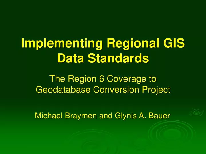
Implementing Regional GIS Data Standards. The Region 6 Coverage to Geodatabase Conversion Project. Michael Braymen and Glynis A. Bauer. Introduction. Convert the Region 6 geospatial library from the coverage data model to the geodatabase data model

E N D
Implementing Regional GIS Data Standards The Region 6 Coverage to Geodatabase Conversion Project Michael Braymen and Glynis A. Bauer
Introduction • Convert the Region 6 geospatial library from the coverage data model to the geodatabase data model • Exclusions: ArcSDE, Raster, Infra Travel Routes, NRIS Invasive Species and Water
Resources • 12 GIS Analysts • 2 Metadata Team members • 2 Conversion Team members • 1 Regional Geodatabase Designer • 1 Project Manager • 1 File Structure Administrator • 4 Leadership Team members • 5 Information Services Supervisors
Objectives • Design file geodatabase templates, including feature level metadata • Convert datasets to file geodatabase templates • Migrate to Enterprise Data Center (EDC) • Archive old datasets
Methods • Design • Review & Approval • Metadata • Conversion • Migration • Archive
Design • Theme based design groups • Region 6 geospatial library inventory • Design group assignments, business leads • Research and proposal, apply standards when available and practical • Feature level metadata • Service Request Database (SRDb)
Review & Approval • Reviewer assignments, business leads • Review proposal • Implement review input, designer • Submit for final approval • Final approval, R6 geodatabase designer
Metadata • Apply Regional metadata template and standards • Validate feature level attributes with National Data Dictionary • Finalize file geodatabase template
Conversion • Pre-conversion review, forest contact • Notification of conversion, dataset lockdown • Conversion, quality assurance • Dataset crosswalk • Post-conversion review, forest contact
Migration • Move to EDC, T:\FS\Reference\GIS\r06_forest\Data • Re-source map documents and layer files • Notification of conversion and migration • Library review • Notification of cutover from old library to new library
Archive • Archive old datasets after 30 days from cutover
Facts and Figures • October 2008, project began • 81 Design Groups • 3582 Datasets • Presently in the Design and Review phase, prototyping Conversion phase