Download
1 / 20
220 likes | 288 Views
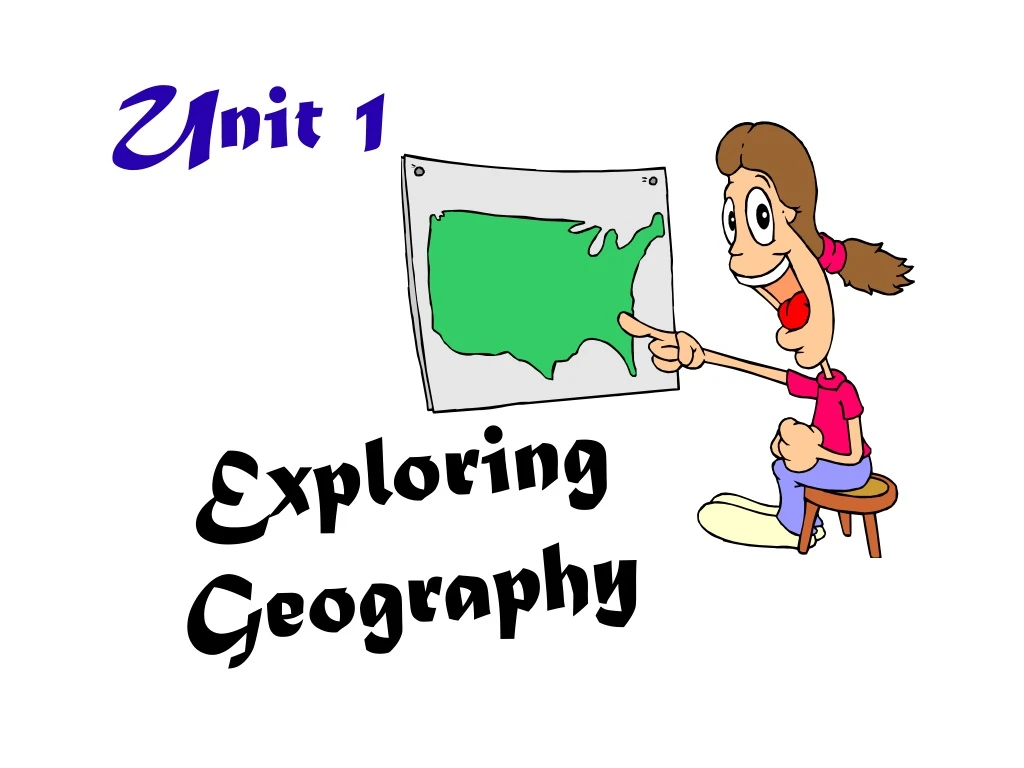
Unit 1. Exploring Geography. What is Geography?. 2 Definitions 1. The study of the physical, biological, and cultural features of the earth’s surface 2. The study of where people, places, and things are located and how they relate to each other.

E N D
Unit 1 Exploring Geography
What is Geography? • 2 Definitions 1. The study of the physical, biological, and cultural features of the earth’s surface 2. The study of where people, places, and things are located and how they relate to each other
B. Two Branches of Geography1. Physical Geography 2. Human Geography Themes and Essential Elements Human Geography Physical Geography • focuses on Earth’s natural environments including landforms, water features, plants, animals, and other physical features • studies the processes that shape physical environment • study of distribution and characteristics of the world’s people (where people live and what they do) • examines how people make and trade things that they need to survive Both • interaction of people with their environments
Geographic Tools 1. Technology a. Sonar: analyzes sounds to determine distance & location. Geographic use of sonar: study ocean floor b. Satellites: ex Landsat 7 & 8 - records images of earth's surface Geographic use of satellites: compare older/recent images to identify changes in land use, vegetation, urban growth
Aral Sea ARAL SEA https://earthobservatory.nasa.gov/Features/WorldOfChange/aral_sea.php August, 2018
GPS (Global Positioning System) • uses minimum 24 orbiting satellites; Use atomic clocks to send back extremely accurate time measurements to provide info about location • GIS (Geographic Information System) • a computer system that stores, displays, and maps locations and their features • information is layered to show relationships among data • layers can be placed together in a multitude of combos to create many different maps, unique and suitable to individual queries
2. Maps! a. Organizing the Globe A globe is a scale model of the earth - useful for looking at the whole planet or large areas of land/water b. Grid – pattern of lines on the globe in E-W/N-S directions Latitude: lines running E-W Longitude: lines running N-S - intersection of these imaginary lines help us fine ABSOLUTE location of places
c. Measuring Latitude & Longitude 1) Latitude (also called parallels): E-W • Imaginary lines that run parallel to equator • Lines run E-W, but measure distance north or south of equator • Equator = 0º • North pole = 90ºN • South pole = 90ºS • Tropic of Cancer = 23 ½ ºN • Tropic of Capricorn = 23 ½ ºS • (tropics receive most direct sunlight/greatest heat energy from the sun) • Lines of latitude, or parallels are parallel to e/o Think of latitude like the rungs of a ladder (ladder sounds a lot like latitude). Latitude lines run east and west, but they tell how far up (north) you can go or how far down (south) you can go.
2) Longitude (also called meridians): • Imaginary lines which run North & South btwn poles • Lines run N-S, but measures distance east or west of Prime Meridian • Prime Meridian = 0º (through Greenwich, England) • All other meridians are measured in degrees from 0 to 180 E or W from Greenwich • Lines of longitude, or meridians, are not parallel to e/o When you think of longitude, think of long, tall telephone poles (because longitude lines run from pole to pole). Longitude lines run north and south, but they tell how far east you can go or how far west you can go.
Practice – Latitude, Longitude Example: 60ºS, 110ºE f a d b g h e c Ex
Practice – Latitude, Longitude Example: 60ºS, 110ºE • 50ºN, 100ºW c. 40ºS, 30ºE e. 40ºS, 130ºW g. 0º, 0º • 10ºN, 30ºW d. 30ºN, 100ºE f. 70ºN, 5ºE h. 25ºS, 135ºE f a d b g h e c Ex
d. The Earth is divided into 4 hemispheres In which hemisphere(s) do you live?
e. Map projections - b/c our planet is round, ALL flat maps have some distortion 1) Conic projection
advantages/disadvantages of • map projections Map Projection Advantages Disadvantages used by navigators because it show true direction and shape exaggerates land masses at high altitudes cylindrical not as accurate for areas that extend mostly north to south conic accurate for area with long east-west dimensions flat-plane used by pilots and navigators because it shows true direction, area, and sizes distorts shapes
Map Elements 1) Distance Scales: used to determine REAL distances btwn points on a map - maps of small areas can show more detail than maps of large areas
2) Directional indicators - shows which directions on a map are N, S, E, or W - most maps have north at the top North Arrow Compass Rose
3) Legends (aka key) - identifies symbols on a map and what they represent
4) Inset Map - used to focus in on a small part of a larger map
5) Map Title -Describes the contents of the map