Download
1 / 20
210 likes | 383 Views
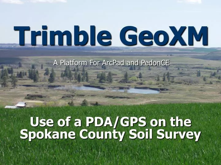
Trimble GeoXM. A Platform For ArcPad and PedonCE. Use of a PDA/GPS on the Spokane County Soil Survey. Spokane Soil Survey. Update of 1968 Soil Survey Mapping consists of range land, Ag land, and forested areas All line work completed in ArcGIS Entering final field season. Trimble GeoXM.

E N D
Trimble GeoXM A Platform For ArcPad and PedonCE Use of a PDA/GPS on the Spokane County Soil Survey
Spokane Soil Survey • Update of 1968 Soil Survey • Mapping consists of range land, Ag land, and forested areas • All line work completed in ArcGIS • Entering final field season
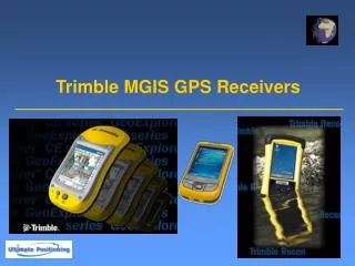
Trimble GeoXM • Mobile PC • Ruggedized PDA/GPS unit • Has Bluetooth capabilities • Supports ArcPad and PedonCE • Communicates with PC allowing for transfer of data from Trimble to PC
ArcPad 7.0 • Mobile ArcGIS • Looks and acts similarly to ArcGIS • Has less functionality than ArcGIS • Allows for viewing of some raster files and all shapefiles in the field • Allows for editing of shapefiles in the field
Use On Our Survey • ArcPad • Transfer shapefiles and some rasters from PC to PDA for viewing in the field • Common files we use: • DOQ imagery • Hillshades • 1968 soil lines • Update soil lines • GPS points • Road maps • Ownership maps
Viewing Editing
Movement Data Manipulation Labeling Transparency
ArcPad 7.0 cont. • In the field: • View exactly where you are on your map • Watch yourself walk across your map • Create new shapefiles • Polygons, polylines, and points • Edit new and existing files • Take GPS points • Add attribute information to GPS points
Shapefile Delineation • In the field: • Delineate the landscape • Hand drawn • Add Vertices • Freehand line or polygon • Take points at set intervals while walking • Manually take points while walking • Shapefiles are easily transferred to ArcMap
Draw by Hand on PDA screen
Points At Staggered Intervals
PedonCE • USDA-NRCS developed software • Uses Microsoft Access databases for domains • Allows for soil descriptions to be recorded on the PDA • Removes manual data entry into NASIS
PedonCE cont. • Will use this coming field season • Will create two sets of databases • Dumbed down for field notes • Full for 232’s
Positives • See where you are on your map • Ruggedized • Digitally delineate the landscape in the field • Take GPS points with attribute information • Record field notes and 232’s in the PDA/GPS.
Drawbacks • Can struggle with taking GPS points in densely treed landscapes • Newer GeoXM units have Windows Mobile 5.0 • Access databases will not transfer from PC to PDA with 5.0 • PedonCE will not work
Conclusions • Excellent tool for identifying exact location • Works well in range areas, agricultural, and thinly treed landscapes • We look forward to utilizing PedonCE this summer
Links and References • http://www.esri.com/software/arcgis/arcpad/index.html • http://www.trimble.com/geoxm_ts.asp • http://www.bluetooth.com/Bluetooth/Learn/Basics/ • http://www.microsoft.com/windowsmobile/activesync/default.mspx • http://www.esri.com/news/arcnews/summer06articles/optimizing-pdas.html