Download
1 / 18
180 likes | 249 Views
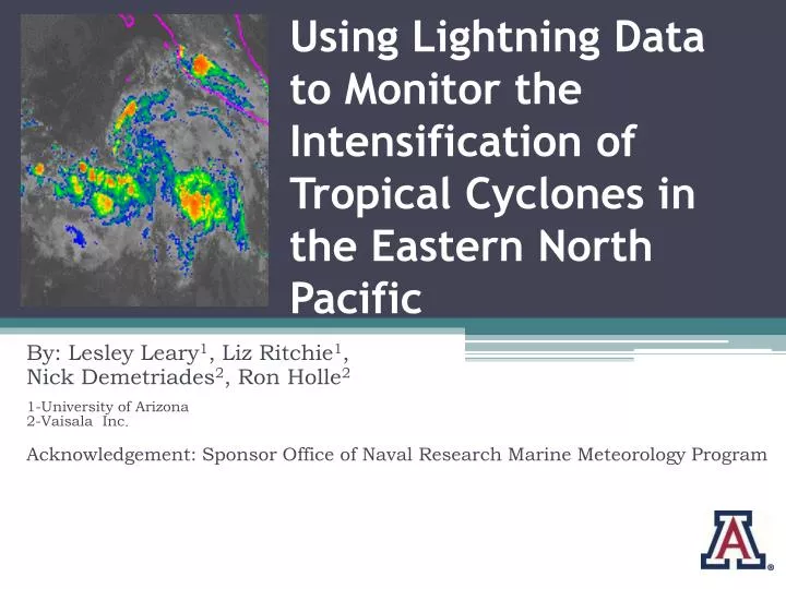
Using Lightning Data to Monitor the Intensification of Tropical Cyclones in the Eastern North Pacific. By: Lesley Leary 1 , Liz Ritchie 1 , Nick Demetriades 2 , Ron Holle 2 1-University of Arizona 2-Vaisala Inc . Acknowledgement: Sponsor Office of Naval Research Marine Meteorology Program.

E N D
Using Lightning Data to Monitor the Intensification of Tropical Cyclones inthe Eastern North Pacific By: Lesley Leary1, Liz Ritchie1, Nick Demetriades2, Ron Holle2 1-University of Arizona 2-Vaisala Inc. Acknowledgement: Sponsor Office of Naval Research Marine Meteorology Program
Introduction: • One cluster dissipates within 24 hrs. • One cluster develops into a category 2 hurricane • Which cluster will develop? Cluster 1 Cluster 2
Understanding Genesis • Definition: • Processes that occur in a tropical disturbance prior to tropical depression designation. • Forecasting: • When and where tropical systems will develop • Which clusters will develop • Important factors: • Synoptic-scale pattern • SSTs • Vorticity • Vertical profile of atmosphere
Back to the clusters… 24 hours later Cluster 1 Cluster 1 Cluster 2 Cluster 2
24 more hours…Hurricane Hector • Began as a convective cluster on August 13 at 0000 UTC (4 pm Pacific) • Skipped TD status • TS status - August 16 at 0000 UTC (4 pm Pacific) • Maximum intensity - August 18 at 0600 UTC (10 pm Pacific) • Dissipated – August 24 at 1200 UTC (4 am Pacific)
Why Lightning is Interesting • Lightning requires deep convection • Intensity of convection may indicate development of the cloud cluster into a TC • Frequency of lightning can imply intensity of convection • Periods of increased activity in lightning can indicate diurnal cycle in organized systems • Means of tracking convective tropical systems
Hypothesis • If lightning can be used as a measure of convective activity, it may be able to be an indicator of whether tropical cyclogenesis and/or intensification will occur in a given disturbance. Hurricane Floyd: September 14, 1999
Long-Range Lightning Detection Network • Extension of National Lightning Detection Network • Detects VLF signals trapped by ionosphere • Efficiency of network decreases with • Distance from coast • Time of day • Using data from 2006 30 N 130 W 80 W Equator
Methodology: Developing Systems • Genesis: • No time requirement for genesis period • Track system with IR imagery every 6 hrs. for entire lifetime of the system • Allows the capture of any possible pattern during genesis period • Classify as land or water storm • Create a longitude/latitude boundary for each period • Filter lightning data per 6 hr. period for each system
Methodology: Non-Developing Clusters • Track persistent clusters within the region • Exclude clusters lasting less than 72 hrs unless: • Out of range • Joins another cluster • Classify storm as land or water cluster • Create boundaries and filter lightning data with same method as developing systems Cluster 3 Cluster 1 Cluster 2 9/7/06 three clusters between 110 W and 130 W
Developing Storms for 2006 Systems Over Water Flash Counts (#/6h) Non-Developing Clusters for July 2006 Flash Counts (#/6h)
Results: water systems • Developing Storms: 9 tropical storms • Average flashes per 6 hrs: 270 • Average flashes per storm: 5635 • Total number flashes: 50713 • Presence of Diurnal Cycle • Non-Developing Clusters: 47 tropical clusters • Average flashes per 6 hrs: 37 • Average flashes per storm: 632 • Total number flashes: 29734 • Presence of Diurnal Cycle
Developing Storms for 2006 Systems Over Land Flash Counts (#/6h) Non-Developing Clusters for 2006 season Flash Counts (#/6h)
Results for land systems • Developing Storms: 5 tropical storms • Average flashes per 6 hrs: 1164 • Average flashes per storm: 19362 • Total number flashes: 96632 • Presence of Diurnal Cycle • Non-Developing Clusters: 12 tropical clusters • Average flashes per 6 hrs: 336 • Average flashes per storm: 5997 • Total number flashes: 71962 • Presence of Diurnal Cycle
Is lightning really an accurate measure of intensification? Non-Developing Clusters for August 2006 • Notice cluster 6 – resembles results seen for developing systems • Is it really a developing system, or is lightning an inaccurate measure of tropical intensification?
QuikSCAT Cluster 6 • Turning of winds • 45 kt observation – underestimate • Why not designate as TD?
Conclusions The results we have presented indicate that lightning activity is a good indicator of whether a cloud cluster will develop into a tropical depression Lightning is a proxy for deep convection, so this leads us to the question of how convective processes are important in the genesis process Storms over land have more convective activity than storms over water – it appears to be easier to differentiate between developing and non-developing systems over water
Future Work • Expand the data set to include multiple seasons and look for statistically significant trends in the data • Investigate the reasons for the unusual diurnal signal in the land-based systems • Analyzing lightning data for storms after TS designation to look for signatures in intensification • Examine other remotely sensed data that may differentiate between tropical clusters and developing storms • Identify a signature that can predetermine whether genesis will occur in a cluster