Download
1 / 19
190 likes | 325 Views
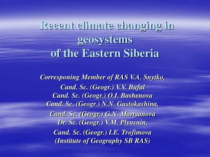
Recent climate changing in geosystems of the Eastern Siberia. Corresponing Member of RAS V.A. Snytko, Cand. Sc. (Geogr.) V.V. Bufal Cand. Sc. (Geogr.) O.I. Bashenova Cand. Sc. (Geogr.) N.N. Gustokashina, Cand. Sc. (Geogr.) G.N. Martyanova Dr. Sc. (Geogr.) V.M. Plyusnin,

E N D
Recent climate changing in geosystemsof the Eastern Siberia Corresponing Member of RAS V.A. Snytko, Cand. Sc. (Geogr.) V.V. BufalCand. Sc. (Geogr.) O.I. BashenovaCand. Sc. (Geogr.) N.N. Gustokashina, Cand. Sc. (Geogr.)G.N. MartyanovaDr. Sc. (Geogr.) V.M. Plyusnin, Cand. Sc. (Geogr.)I.E. Trofimova(Institute of Geography SB RAS)
Repetition of Different Types of Atmospheric Circulation in February (values and results of 5 year slide smoothing under review) eastern (Е) western (W) meridional (c)
Process of Temperature Values on Different Stations: Kirensk (1), Irkutsk (2) and Repetition of Different Types of Atmospheric Circulation (3) in February восточный (Е) eastern (Е) западный (W) western (W) меридиональный(c) meridional (c)
Process of Temperature Values on Different Stations: Kirensk (1), Irkutsk (2) and Repetition of Different Types of Atmospheric Circulation (3) in February
Volcanic Effect on the Change of Direct Solar Radiation Activity by Cloudless Sky (I, kWt/m2). Vertical shows the dates of the most significant volcanic eruptions and forest fires Irkutsk Kirensk Ilchir Volcanic eruptions Forest fires
Process of Average Annual Sums of Short Wave Solar Radiation of Many Years (1) and Trend Lines (2)
Changes of Average Annual Air Temperatures of Many Years (1), Sliding Data of 5 Years (2) and Trend Lines (3) Irkutsk Bayanday Kirensk
Changing of precipitation annual temperatures (1), 5-year slips (2) and trend lines (3)
Average annual air and soil temperatures on different depths (results of 5-year slid smoothing) of many years
Changing of average annual temperature of soil mass (1), 5-year slip (2) and trend lines (3) of many years
Quantity dynamics of days with dust storms (1), annual precipitation amount (2) and precipitation of the deflohazardous period (3) in the steppes of the Minusinskaya Hollow (meteostation Khakasskaya), in the Western (Ulan-Ude) in South-Eastern Zabaikal’e (Borzyz) of many years
Normed deviation of annul precipitation amount, averaged by five-year periods, in the regions in the South of Siberia
Quantity Dynamics of Days with Dust Storms and Rainfall within the Deflationary Period of Many Years
Types of distribution of the permafrost soils in the South of Siberia
Dynamics of soil freezing depth in Pribaikal’e (I) and duration of the frost period in the soil and air of Zabaikal’e (II)
Landscape structure of the Bezymyannaya river basin and its disturbance
Условные обозначения к рисунку: Геосистемы. Гольцовые: 1 – округлых вершин и пологих выпуклых склонов пустошные 2 – крутых склонов с интенсивными денудационными процессами (осыпи, лавины) кедровостланиковые 3 – обезлесенных склонов и водоразделов разнотравно-вейниковые закустаренные со смытой почвой и участками каменистых выходов 4 – выположенных поверхностей и склонов кедровостланиковые мохово-лишайниковые 5 – водоразделов и склонов ерниковые кустарничково-зеленомошные с кедровым редколесьем Горно-таежные: 6 – выровненных поверхностей и пологих южных склонов кедровые и пихтово-кедровые редкостойные с кашкарой в подлеске кустарничково-зеленомошные с мелкотравьем 7 – крутых южных склонов кедровые и пихтово-кедровые редкостойные разнотравно-кустарничково-зеленомошные с баданом 8 – крутых северных склонов кедровые и пихтово-кедровые редкостойные, иногда с лиственницей, баданово-кустарничково-зеленомошные с кедровым стлаником 9 – крутых эродированных южных склонов кедровые разнотравно-брусничные с баданом 10 – крутых северных склонов кедровые с лиственницей мелкотравно-кустарничково-зеленомошные бадановые с багульником 11– крутых северных склонов мелколиственные с душекией мелкотравно-влажнотравные с папоротником и мелкотравно-бруснично-зеленомошные бадановые, осочково-мелкотравные Нарушения геосистем. Естественные: 12– солифлюкционные сплывы почвенно-растительного покрова на крутых склонах, в процессе переувлажнения грунтов 13– склоновые выемки и обломочные отложения, сформированные в процессе прохождения селей, выявленных на аэроснимках 1937 года 14 – склоновые выемки о обломочные отложения, сформированные в процессе прохождения селей, выявленных на аэроснимках 1972 года Антропогенные: 15 – лесные вырубки, выявленные на аэроснимках 1984 года 16 – сплошные вырубки, формирование садово-огороднического хозяйства 17 – дороги и геологические шурфы 18 – лесные гари, выявленные на аэроснимках 1937 года 19 – лесные гари, выявленные на аэроснимках 1972 года