Download
1 / 22
220 likes | 362 Views
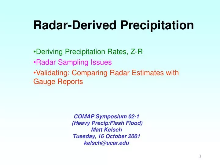
Radar-Derived Precipitation. Deriving Precipitation Rates, Z-R Radar Sampling Issues Validating: Comparing Radar Estimates with Gauge Reports. COMAP Symposium 02-1 (Heavy Precip/Flash Flood) Matt Kelsch Tuesday, 16 October 2001 kelsch@ucar.edu.

E N D
Radar-Derived Precipitation Deriving Precipitation Rates, Z-R Radar Sampling Issues Validating: Comparing Radar Estimates with Gauge Reports COMAP Symposium 02-1 (Heavy Precip/Flash Flood) Matt Kelsch Tuesday, 16 October 2001 kelsch@ucar.edu
Z-R RelationshipsWSR-88D, Marshall-Palmer (general), and Tropical
Tropical, Maritime Environment Continental Environment
Sampling Issues • Radar domain cannot be sampled at consistent elevations, with consistent bin volumes, or for precipitation with similar stage of development or phase. • Range degradation • Low-level beam blocking • Changes in precip phase have inconsistent effects--bright band, hail contamination These are not effectively corrected by changing Z-R coefficients
Rain Gauge Representation Rain is a less continuous parameter than temperature or dewpoint, and more difficult to quality control
16 sep99: Storm Total Radar-derived Accumulation from KRAX (Raleigh NC)
16 sep99: Storm Total Radar-derived Accumulation from KAKQ (Wakefield VA)
Changing Z-R Will help when: • Consistently different average DSD (climate) • Tropical versus mid-latitude (warm vs. cold process) • Maritime versus continental • Consistently different average DSD (season) • Convective versus stratiform Is not the solution when: • Range degradation, overshooting low-levels • Phase change: hail, melting snow • Snowfall
Radar-derived Precipitation:A Summary Of Major Points • Radar provides excellent storm-scale information about the spatial and temporal evolution of precipitation systems. • Radar provides very valuable input as part of a comprehensive, multi-sensor precipitation system. • Quantitative reliability issues are related to the fact that radar samples a volume at some elevation to estimate precipitation at the ground. • Radar-derived precipitation is most reliably modeled for liquid hydrometeors; hail and snow add complexity. • The above two points are not effectively corrected by changing Z-R coefficients; Z-R changes should be related to Drop Size Distribution knowledge. • Radars and rain gauges do not measure equal samples • Rain gauges do not provide a good representation of precipitation distribution, especially convective precipitation. • Using information about the ambient environment, radar-derived precipitation can become a more versatile tool.