Download

1 / 10
140 likes | 255 Views
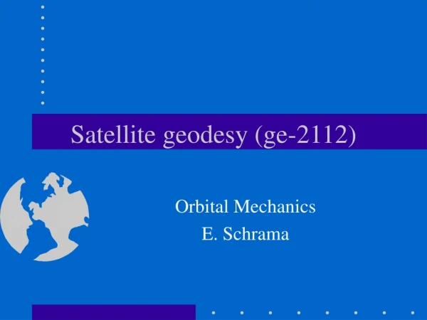
Satellite geodesy (ge-2112). Introduction E. Schrama. Contents. What is satellite geodesy Example: GPS navigation solutions Test your knowledge Extended function model reference systems items in satellite geodesy scientific applications. What is satellite geodesy?.

E N D
Satellite geodesy (ge-2112) Introduction E. Schrama
Contents • What is satellite geodesy • Example: GPS navigation solutions • Test your knowledge • Extended function model • reference systems • items in satellite geodesy • scientific applications
What is satellite geodesy? • Realize “geodesy” beyond your local horizon with the aid of satellite techniques • Observations are range and range rate, or closely related to range and range rate. • Parameters are station positions, earth rotation, satellite trajectory parameters, and other related parameters • Many applications in science, technology and society
Example: GPS pseudo range navigation 3 2 satellites 1 4 • Known: • satellite positions • satellite clocks • 4 ranges • Unknown: • receiver position • receiver clock 5 receiver
GPS navigation solution In order to obtain a navigation solution you need to invert the following system of equations In this system the left hand side vectors contains the pseudo range observations corrected for a priori approximations, the matrix contains partial derivatives and the right hand side vector improvements to a priori receiver coordinates and a receiver clock bias. The partial derivatives are obtained from the a priori coordinates. Iterative improvement leads to the eventual navigation solution.
Test your knowledge • Write out the partial derivatives in the matrix • What accuracy is required for the a priori coordinates? • Where do the a priori coordinates come from? • Rewrite the algorithm for a system of more than 4 pseudo ranges • How accurate is the receiver solution in practice?
Extended function model • In satellite geodesy a general observational model includes more parameters than just coordinates and clock biases • Most applications require knowledge of satellite trajectories, GPS provides its trajectories and clocks as a service. • Reference systems play a very crucial role
Reference systems • Relevance of reference systems in geodesy • what again is a reference system? • reference systems in traditional surveying • realization of reference systems • transformations between reference systems • reference systems in satellite geodesy • what is part of such a reference system • ITRF vs ICRS, Earth rotation, precession, nutation • time reference systems • reference systems in physical geodesy • height reference systems • reference systems in physics and astronomy • there is a clear synergy
Items in satellite geodesy • Newton’s laws, inertial - and rotating systems • Vision on astronomy before and after Kepler • The gravity field is part of the function model • Tropospheric and ionospheric delay • Other effects: polar motion, tides, various small accelerations acting on the satellite) • Processing of data involves instrument parameters, clock delays, etc etc.
Scientific applications • More accurate station solutions • Less redundancy of satellites and receivers • GPS receivers on a moving platform • Other observation techniques (laser, doppler, etc) • Other parameters than stations and clocks • Combination with other data