Download
1 / 15
150 likes | 238 Views
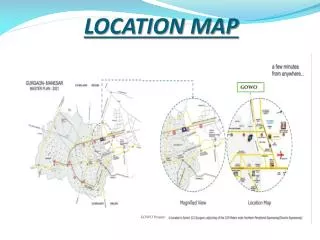
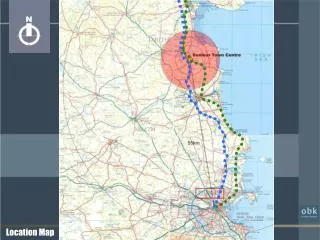
Ordinance No. 2007-XX Application LU-MIN-07-01 Small-Scale Future Land Use Map Amendment Twenty Fingers Property June 5, 2007 City Council Meeting. LOCATION MAP. AERIAL MAP. PICTURE. Requested Action.

E N D
Ordinance No. 2007-XXApplication LU-MIN-07-01Small-Scale Future Land Use Map AmendmentTwenty Fingers PropertyJune 5, 2007 City Council Meeting
Requested Action Small-scale future land use map (FLUM) amendment for a 9 +/- acre portion of the subject parcel from Greenbelt to Mixed Use
Land Use Compatibility • Add to the Mixed Use area to the south • Allow for commercial development along future realignment of Old Kings Road
1.5 Mile Radius • 5,047 total acres • 43.4% Residential and Greenbelt FLUM • 2.5% Mixed Use FLUM
Infrastructure Availability • Transportation • Potable Water and Sewer • Drainage • Solid Waste • Recreation and Parks • Public Education
Environmental Conditions • Cypress Wetland limited to the portion of parcel that will remain in Conservation FLUM designation • Abandoned Gopher Tortoise Burrow • Amendment Area Outside 100-Year Floodplain
Comp Plan Consistency Objective 1.1.3 - Evaluation of Amendments to the FLUMStaff’s analysis is consistent with the requirements of Objective 1.1.3. Policy 1.1.1.1 (C) - Mixed Use The proposed amendment is consistent with the Mixed Use designation description contained in Policy 1.1.1.1 (c), because the amendment extends a future commercial node adjacent to the proposed realignment of Old King’s Road at Mantanzas Woods Parkway and allows for retail/commercial development in close proximity to residential areas.
Comp Plan Consistency Policy 1.2.1.10 The proposed amendment is consistent with Policy 1.2.1.10, since no wetland impacts are anticipated and the portion of the subject parcel containing the Cypress Wetland will remain in the Conservation designation. Policy 1.4.2.1 The proposed amendment is consistent with Policy 1.4.2.1, since the future development of commercial uses will provide the appropriate balance of land uses and create jobs.
Recommendation Staff recommend that the City Council approve, on first reading, Ordinance No. 2007-XX approving Application LU-MIN-07-01. The PLDRB considered the application and voted 4-3 to recommend approval.