Download
1 / 15
150 likes | 155 Views
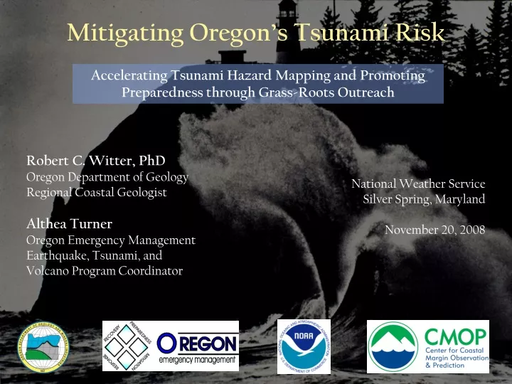
Mitigating Oregon’s Tsunami Risk. Accelerating Tsunami Hazard Mapping and Promoting Preparedness through Grass-Roots Outreach. Robert C. Witter, PhD Oregon Department of Geology Regional Coastal Geologist Althea Turner Oregon Emergency Management

E N D
Mitigating Oregon’s Tsunami Risk Accelerating Tsunami Hazard Mapping and Promoting Preparedness through Grass-Roots Outreach Robert C. Witter, PhD Oregon Department of Geology Regional Coastal Geologist Althea Turner Oregon Emergency Management Earthquake, Tsunami, and Volcano Program Coordinator National Weather Service Silver Spring, Maryland November 20, 2008
NTHMP Funding FY07-08 • FY07 NTHMP funding: $272,300 • TsunamiReady funding: $50,000 • Seaside legislative funding: $500,000 • FY08 NTHMP funding: $253,910 • Oregon provides $1.5 million matching funds for LiDAR
FY07 Accomplishments • Mapping & Modeling • Completed Cannon Beach tsunami hazard assessment • Products include: • 25 earthquake source scenarios • Tsunami inundation map • Tsunami evacuation map • Time histories and more… • Initial source models for Bandon hazard assessment completed
Mitigation & Education • Oregon Tsunami Advisory Council • Cannon Beach evacuation map • Oregon 5-yr Outreach/Education Plan • Online interactive evacuation map • Attended Seaside Tsunami Fair • Advised local stakeholders: • Seaside School District • Gleneden Beach & Depoe Bay Fire Districts • Coastal Fire Chiefs Assoc. • Cannon Beach town hall meeting • Taft High School student project
TsunamiReady Support • Sirens, caches, CERT brought to Seaside • Lincoln City renews TsunamiReady status • Tsunami coordinator for Lincoln City • Presentations and workshops • Tsunami exercises performed - Tabletop workshop - Tsunami evacuation drill • Tsunami Fair • Tsunami Hazard cards for lodging facilities • Tsunami awareness survey • Developed 5-year tsunami outreach/education plan • TsunamiReady Workshop in Seaside
Issues • Benchmarking data for Okushiri tsunami difficult to obtain or not available • Topographic errors in evacuation map resolved • Extension requested to complete Cannon Beach tsunami education sign Scott Stantis, Alabama The Birmingham News
Incorporates Tsunami Advisory Council recommendations • Two evacuation zones • Local tsunami (yellow) • Distant tsunami (orange) • English/Spanish • Landmarks featured • Assembly areas • Checked for color vision disabilities • Siren locations ZOOM
FY09-12 Goals • Advance the mission of the National Tsunami Hazard Mitigation Program • Provide accurate tsunami hazard assessments; • Mitigate risk through public outreach, local dissemination, planning and education; and • Lend guidance to optimize real-time tsunami warnings Federal Partners:
Objective 1: Mapping & Modeling • Complete Next-Generation Tsunami Inundation Maps for Entire Oregon Coast by 2013 • FY09 Tasks • Complete Bandon tsunami hazard assessment in 2010 • Investigate paleotsunami deposits in southern Oregon • Initiate Brookings-Port Orford tsunami hazard mapping • FY10-12 Tasks • Complete tsunami inundation mapping for entire coast • Focus on two map areas per year • Verify mapping is consistent with paleotsunami deposits
t=220s t=175s t=160s Obj. 1 Performance Goals • Produce tsunami inundation maps that support informed decision making • Rigorously test open-source code (SELFE) using benchmarks recommended by NOAA • Contribute to guidelines and best practices for tsunami inundation mapping • Prioritize mapping based on community vulnerability,
Objective 2: Mitigation & Education • Empowering local stakeholders to prepare for tsunamis • FY09 Tasks • Support the Oregon Tsunami Advisory Council • Complete Bandon tsunami evacuation map • Update/improve online interactive evacuation maps • Develop online tsunami information clearinghouse • FY10-12 Tasks • Complete tsunami evacuation maps for Oregon by 2013 • Continually maintain and update online products • Facilitate local input through Tsunami Advisory Council
Obj. 2 Performance Goals • Reduce loss of life and property from tsunamis • Explore feasibility of revising Oregon’s tsunami inundation line used to restrict new development • Produce tsunami evacuation maps • Help develop evacuation map guidelines • Highlight perspective of local stakeholders • Explore effective formats for web-based maps
Objective 3: TsunamiReady • Oregon’s Volunteer Tsunami Outreach Program • FY09 Tasks • Build volunteer-driven outreach programs in 3 coastal cities • Assist coastal communities to achieve TsunamiReady status • Contribute to tsunami information clearinghouse • FY10-12 Tasks • Target 3 new cities/year • Increase number of TsunamiReady cities in Oregon • Sustain existing programs
Obj. 3 Performance Goals • Establish more tsunami resilient communities • Integrate tsunami education into K-12 schools • Support effective and reliable warning dissemination to threatened citizens and visitors • Support grass-roots tsunami outreach efforts • Promote a culture of tsunami preparedness • Increase number of TsunamiReady communities