Download
1 / 28
280 likes | 284 Views
Explore the uses of Geographic Information Systems (GIS) in mapping, analyzing, and presenting data for business managers, marketers, and financial analysts. Learn how GIS can help identify target markets and optimize sales strategies.

E N D
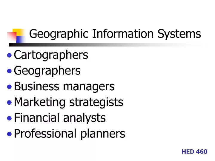
Geographic Information Systems • Cartographers • Geographers • Business managers • Marketing strategists • Financial analysts • Professional planners HED 460
Geographic Information Systems • Think of all the uses for GIS that you came across in your reading….. HED 460
Geographic Information Systems • A system for mapping and analyzing the geographical distribution of data • Data are any information stored in a database as long as it can be linked to a location • GIS databases are relational HED 460
Geographic Information Systems • Like Access, information is stored as records. • Each record in a GIS database contains information used to draw a geometric shape • A point, a line, a polygon HED 460
GIS • Stores any information that can be linked to places • Does 2+2=4 have anything to do with geography? • No, but if it were true in some places but not in others it would HED 460
GIS • Luxury cars are mostly bought by people who earn more than $100,000 a year. • Significant percentage of Hispanic consumers prefer to buy groceries with Spanish-language labeling or to shop in a store where Spanish is spoken. HED 460
GIS • GIS map files can represent • Whole world or part by any of various subdivisions (postal codes, streets, political boundaries) • Natural and manmade features (lakes, rivers, highways, hospitals) • Almost any place with almost any kind of statistical info HED 460
GIS • Human beings excel at pattern recognition • Much easier to see relationships in spatial or map format than in a table of rows and columns • Easier to make connections HED 460
GIS – Data visualization • Lets you visually represent the data in any field of a map file as: • Different shades of color • Symbols of different sizes • Dot patterns of varying density HED 460
GIS – Data analysis • Has full array of query tools • More powerful than traditional databases • 3 stores – want to compare the demographics around each to understand why two are thriving and one is not HED 460
GIS – Data analysis • Calculate a demographic profile for all households within a 15 min. drive from each store HED 460
GIS – Data presentation • GIS helps you communicate what you know • Makes your case with clear and compelling visuals HED 460
GIS Application • Find where your best customers are located • Company sells food products to stores, cafes, restaurants, and other outlets in your city • Marketing presentation - show the stores you sold the most products to last year • You have a database with name, street address and last year’s sales for each customer • You have street data for your city HED 460